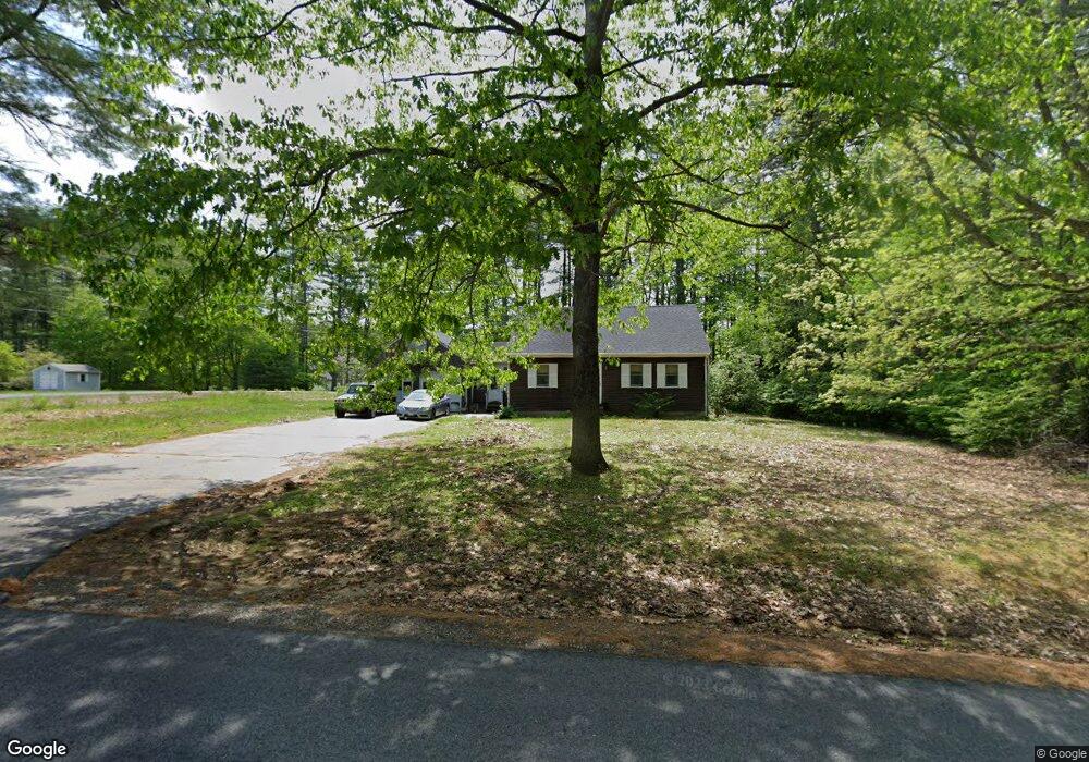
24 Worster Rd Berwick, ME 03901
Estimated Value: $413,000 - $507,000
3
Beds
2
Baths
1,666
Sq Ft
$272/Sq Ft
Est. Value
About This Home
This home is located at 24 Worster Rd, Berwick, ME 03901 and is currently estimated at $452,775, approximately $271 per square foot. 24 Worster Rd is a home located in York County with nearby schools including Noble High School and Tri-City Christian Academy.
Create a Home Valuation Report for This Property
The Home Valuation Report is an in-depth analysis detailing your home's value as well as a comparison with similar homes in the area
Home Values in the Area
Average Home Value in this Area
Tax History Compared to Growth
Tax History
| Year | Tax Paid | Tax Assessment Tax Assessment Total Assessment is a certain percentage of the fair market value that is determined by local assessors to be the total taxable value of land and additions on the property. | Land | Improvement |
|---|---|---|---|---|
| 2024 | $3,858 | $309,400 | $104,000 | $205,400 |
| 2023 | $3,840 | $209,600 | $74,100 | $135,500 |
| 2022 | $3,819 | $209,600 | $74,100 | $135,500 |
| 2021 | $3,836 | $209,600 | $74,100 | $135,500 |
| 2020 | $4,058 | $209,600 | $74,100 | $135,500 |
| 2019 | $3,674 | $209,600 | $74,100 | $135,500 |
| 2018 | $3,582 | $203,500 | $70,600 | $132,900 |
| 2017 | $3,490 | $203,500 | $70,600 | $132,900 |
| 2016 | $3,483 | $213,700 | $70,600 | $143,100 |
| 2014 | $3,398 | $213,700 | $70,600 | $143,100 |
| 2013 | $3,430 | $213,700 | $70,600 | $143,100 |
Source: Public Records
Map
Nearby Homes
- 14 Worster Rd
- 13 Tomahawk Ln
- 61 Ridlon Rd
- 24 Gahan Ln
- 32 Pine Hill M H Park
- 12C Thompson Hill Rd
- 58 Knox Ln
- 4539A Knox Ln
- 61 Pine Hill Mhp Rd
- 43 Heritage Dr
- 39 Pine Hill Rd
- 163 Rochester St
- Lot 2 Old Pine Hill Rd
- 91 Sullivan St
- 4 Heritage Dr
- 2 Heritage Dr
- 5 Heritage Dr
- 44 Logan St
- 46 Old Pine Hill Rd S
- 2 Emerald Ct