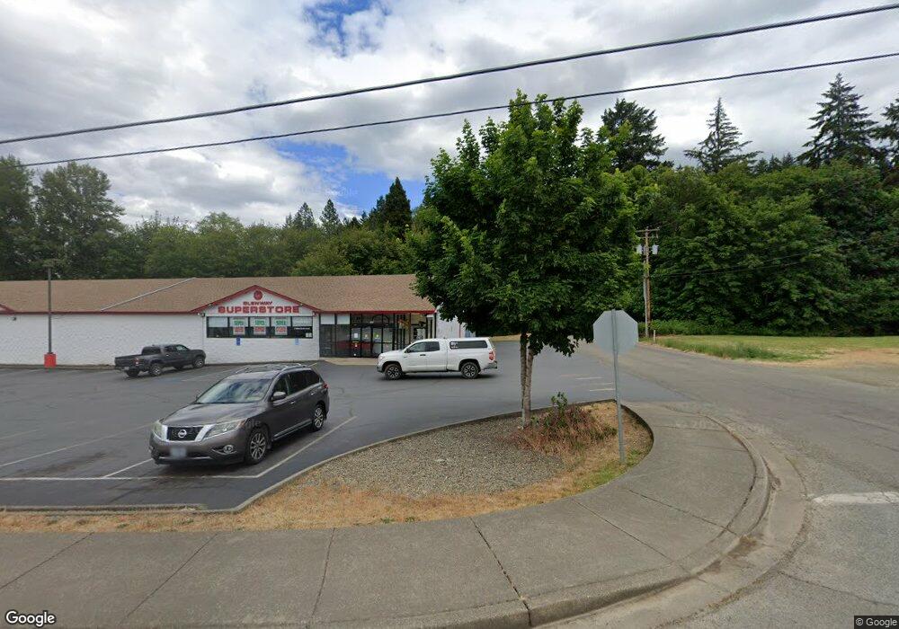
240 Angus Ln Glendale, OR 97442
Estimated Value: $299,103 - $354,000
3
Beds
2
Baths
1,395
Sq Ft
$239/Sq Ft
Est. Value
About This Home
This home is located at 240 Angus Ln, Glendale, OR 97442 and is currently estimated at $333,034, approximately $238 per square foot. 240 Angus Ln is a home located in Douglas County with nearby schools including South Umpqua High School.
Ownership History
Date
Name
Owned For
Owner Type
Purchase Details
Closed on
May 4, 2021
Sold by
Speaker Stormy Marie
Bought by
Thornhill Michael and Thornhill Kathleen
Current Estimated Value
Home Financials for this Owner
Home Financials are based on the most recent Mortgage that was taken out on this home.
Original Mortgage
$75,000
Outstanding Balance
$67,755
Interest Rate
2.9%
Mortgage Type
New Conventional
Estimated Equity
$265,279
Purchase Details
Closed on
Aug 10, 2009
Sold by
Rains Imogene S and Speaker Stormy M
Bought by
Speaker Stormy Marie
Purchase Details
Closed on
May 3, 2005
Sold by
Rains Imogene Smith
Bought by
Speaker Stormy Marie and Rains Imogene Smith
Create a Home Valuation Report for This Property
The Home Valuation Report is an in-depth analysis detailing your home's value as well as a comparison with similar homes in the area
Home Values in the Area
Average Home Value in this Area
Purchase History
| Date | Buyer | Sale Price | Title Company |
|---|---|---|---|
| Thornhill Michael | $257,500 | First American Title | |
| Speaker Stormy Marie | -- | None Available | |
| Speaker Stormy Marie | -- | -- |
Source: Public Records
Mortgage History
| Date | Status | Borrower | Loan Amount |
|---|---|---|---|
| Open | Thornhill Michael | $75,000 |
Source: Public Records
Tax History Compared to Growth
Tax History
| Year | Tax Paid | Tax Assessment Tax Assessment Total Assessment is a certain percentage of the fair market value that is determined by local assessors to be the total taxable value of land and additions on the property. | Land | Improvement |
|---|---|---|---|---|
| 2024 | $1,277 | $127,072 | -- | -- |
| 2023 | $1,240 | $123,371 | $0 | $0 |
| 2022 | $1,214 | $119,778 | $0 | $0 |
| 2021 | $1,175 | $116,290 | $0 | $0 |
| 2020 | $1,138 | $112,903 | $0 | $0 |
| 2019 | $1,121 | $109,615 | $0 | $0 |
| 2018 | $1,092 | $106,423 | $0 | $0 |
| 2017 | $999 | $103,324 | $0 | $0 |
| 2016 | $966 | $100,315 | $0 | $0 |
| 2015 | $949 | $97,394 | $0 | $0 |
| 2014 | $970 | $94,558 | $0 | $0 |
| 2013 | -- | $91,804 | $0 | $0 |
Source: Public Records
Map
Nearby Homes
- 187 October Dr
- 135 Crest Dr
- 115 W Ridge Ln
- 711 Plin St
- 333 S Old Pacific Hwy
- 434 S Old Pacific Hwy
- 172 S Old Pacific Hwy
- 781 Plin St
- 131 Mountain View Ave
- 207 Henry St
- 239 Arrow Way
- 424 Aker Dr
- 231 Arrow Way
- 166 Peacock Ln
- 317 Aker Dr
- 107 Wanda Ct
- 115 Duane Ct
- 497 Wood Crest Dr
- 567 Bluebird Ln
- 544 Lou Gray Dr
- 240 Angus Ln
- 274 Angus Ln
- 146 Silvercrest Ct
- 142 Silvercrest Ct
- 141 Silvercrest Ct
- 206 Angus Ln
- 138 Silvercrest Ct
- 139 Silvercrest Ct
- 291 Crest Dr
- 126 Silvercrest Ct
- 133 Silvercrest Ct
- 115 Silvercrest Ct
- 157 October Dr
- 108 Silvercrest Ct
- 289 SE Crest Dr
- 287 Crest Dr
- 155 October Dr
- 289 Crest Dr
- 273 Crest Dr
- 295 Crest Dr
