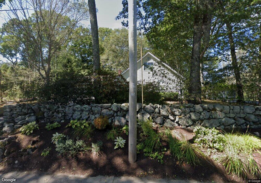
240 Broad Rock Rd Wakefield, RI 02879
Estimated Value: $736,407 - $988,000
4
Beds
3
Baths
2,300
Sq Ft
$364/Sq Ft
Est. Value
About This Home
This home is located at 240 Broad Rock Rd, Wakefield, RI 02879 and is currently estimated at $836,852, approximately $363 per square foot. 240 Broad Rock Rd is a home located in Washington County with nearby schools including South Kingstown High School, Monsignor Matthew Clarke Catholic Regional School, and Bradley School-South.
Ownership History
Date
Name
Owned For
Owner Type
Purchase Details
Closed on
Aug 31, 2000
Sold by
Est Chichester Eileen
Bought by
Newman Philip R and Newman Barbara M
Current Estimated Value
Home Financials for this Owner
Home Financials are based on the most recent Mortgage that was taken out on this home.
Original Mortgage
$225,000
Interest Rate
8.16%
Create a Home Valuation Report for This Property
The Home Valuation Report is an in-depth analysis detailing your home's value as well as a comparison with similar homes in the area
Home Values in the Area
Average Home Value in this Area
Purchase History
| Date | Buyer | Sale Price | Title Company |
|---|---|---|---|
| Newman Philip R | $250,000 | -- |
Source: Public Records
Mortgage History
| Date | Status | Borrower | Loan Amount |
|---|---|---|---|
| Open | Newman Philip R | $100,000 | |
| Open | Newman Philip R | $207,000 | |
| Closed | Newman Philip R | $231,000 | |
| Closed | Newman Philip R | $225,000 |
Source: Public Records
Tax History Compared to Growth
Tax History
| Year | Tax Paid | Tax Assessment Tax Assessment Total Assessment is a certain percentage of the fair market value that is determined by local assessors to be the total taxable value of land and additions on the property. | Land | Improvement |
|---|---|---|---|---|
| 2025 | $4,879 | $545,800 | $177,400 | $368,400 |
| 2024 | $4,922 | $445,400 | $136,400 | $309,000 |
| 2023 | $4,922 | $445,400 | $136,400 | $309,000 |
| 2022 | $4,877 | $445,400 | $136,400 | $309,000 |
| 2021 | $5,144 | $356,000 | $118,500 | $237,500 |
| 2020 | $5,144 | $356,000 | $118,500 | $237,500 |
| 2019 | $5,144 | $356,000 | $118,500 | $237,500 |
| 2018 | $4,811 | $306,800 | $110,100 | $196,700 |
| 2017 | $4,697 | $306,800 | $110,100 | $196,700 |
| 2016 | $4,630 | $306,800 | $110,100 | $196,700 |
| 2015 | $4,718 | $304,000 | $107,800 | $196,200 |
| 2014 | $4,706 | $304,000 | $107,800 | $196,200 |
Source: Public Records
Map
Nearby Homes
- 70 Broad Rock Rd
- 40 Amos St
- 128 North Rd
- 3 Larkin St
- 73 Camden Ct
- 128 Camden Ct
- 156 River St Unit B
- 48 Stone Bridge Dr
- 10 Hendricks St
- 918 Saugatucket Rd
- 37 Columbia St
- 45 Cherry Ln Unit C
- 39 Hazard Ave
- 38 Eisenhower Place
- 957 Saugatucket Rd
- 228 Rodman St
- 53 Rocky Brook Way
- 128 Rodman St
- 115 Dam St
- 17 Celestial Heights Dr
- 250 Broad Rock Rd
- 5 Oak Hill Rd
- 27 Spruce Ct
- 37 Spruce Ct
- 260 Broad Rock Rd
- 21 Spruce Ct
- 274 Broad Rock Rd
- 43 Spruce Ct
- 271 Broad Rock Rd
- 202 Broad Rock Rd
- 24 Oak Hill Rd
- 35 Greybirch Ct
- 284 Broad Rock Rd
- 32 Spruce Ct
- 40 Oak Hill Rd
- 20 Spruce Ct
- 281 Broad Rock Rd
- 40 Spruce Ct
- 57 Oak Hill Rd
- 33 Greybirch Ct