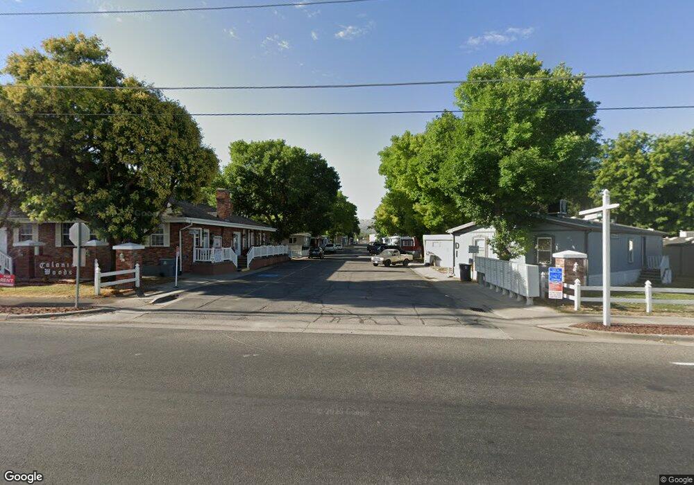
240 E 1100 N Unit D-7 North Salt Lake, UT 84054
2
Beds
1
Bath
1,076
Sq Ft
436
Sq Ft Lot
About This Home
This home is located at 240 E 1100 N Unit D-7, North Salt Lake, UT 84054. 240 E 1100 N Unit D-7 is a home located in Davis County with nearby schools including Woods Cross Elementary School, South Davis Junior High School, and Woods Cross High School.
Ownership History
Date
Name
Owned For
Owner Type
Purchase Details
Closed on
Jul 6, 2021
Sold by
Zbes 1313488 Llc
Bought by
Colonial Woods Ii Mhp Lc
Purchase Details
Closed on
Dec 30, 2020
Sold by
Colonial Woods Ii Mhp Lc
Bought by
Colonial Woods Ii Mhp Lc and Terra Growth Factors Ltd
Purchase Details
Closed on
Apr 14, 2004
Sold by
Boulder Ranch Lc
Bought by
Colonial Woods Ii Mhp Lc
Home Financials for this Owner
Home Financials are based on the most recent Mortgage that was taken out on this home.
Original Mortgage
$2,875,000
Interest Rate
5.57%
Mortgage Type
Commercial
Purchase Details
Closed on
Aug 15, 1996
Sold by
Spencer Richard C and Spencer Carol J
Bought by
Colonial Woods Mobile Home & Rv Park Llc
Create a Home Valuation Report for This Property
The Home Valuation Report is an in-depth analysis detailing your home's value as well as a comparison with similar homes in the area
Home Values in the Area
Average Home Value in this Area
Purchase History
| Date | Buyer | Sale Price | Title Company |
|---|---|---|---|
| Colonial Woods Ii Mhp Lc | -- | Metro National Title | |
| Colonial Woods Ii Mhp Lc | -- | Metro National Title | |
| Colonial Woods Ii Mhp Lc | -- | Fidelity Land & Title | |
| Boulder Ranch Lc | -- | Fidelity Land & Title | |
| Colonial Woods Mobile Home & Rv Park Llc | -- | -- |
Source: Public Records
Mortgage History
| Date | Status | Borrower | Loan Amount |
|---|---|---|---|
| Previous Owner | Colonial Woods Ii Mhp Lc | $2,875,000 |
Source: Public Records
Tax History Compared to Growth
Tax History
| Year | Tax Paid | Tax Assessment Tax Assessment Total Assessment is a certain percentage of the fair market value that is determined by local assessors to be the total taxable value of land and additions on the property. | Land | Improvement |
|---|---|---|---|---|
| 2025 | $5,768 | $607,463 | $572,694 | $34,769 |
| 2024 | $5,768 | $580,251 | $544,447 | $35,804 |
| 2023 | $5,612 | $561,337 | $525,616 | $35,721 |
| 2022 | $5,519 | $1,001,727 | $955,666 | $46,061 |
| 2021 | $4,942 | $748,618 | $731,607 | $17,011 |
| 2020 | $4,996 | $748,618 | $731,607 | $17,011 |
| 2019 | $5,440 | $794,995 | $777,984 | $17,011 |
| 2018 | $5,500 | $794,995 | $777,984 | $17,011 |
| 2016 | $5,688 | $437,247 | $427,891 | $9,356 |
| 2015 | $8,328 | $615,010 | $427,891 | $187,119 |
| 2014 | $5,692 | $428,450 | $427,891 | $559 |
| 2013 | -- | $428,450 | $427,891 | $559 |
Source: Public Records
Map
Nearby Homes
- 240 E 1100 N Unit B 7
- 260 E 1100 N
- 260 E 1100 N Unit A14
- 298 Percival St Unit 354
- 259 Lionel St Unit 373
- 740 Tristram St Unit 347
- 246 Galahad St
- 626 Sagramore St
- 757 W 3200 S
- 167 Guenevere St Unit 128
- 246 Guenevere St Unit 81
- 562 Lancelot Dr Unit 60
- 330 Pellinore St Unit 43
- 913 W 2025 S
- 2024 S 925 W
- 916 W 2025 S
- 2008 S 700 W
- 620 N Orchard Dr Unit 11
- 410 N 175 E
- 527 Applewood Dr
- 240 E 1100 N Unit P11
- 240 E 1100 N Unit D11
- 240 E 1100 N Unit C5
- 240 E 1100 N Unit D-12
- 240 E 1100 N Unit D1
- 240 E 1100 N Unit C-12
- 240 E 1100 N Unit C3
- 240 E 1100 N
- 240 E 1100 N Unit C14
- 240 E 1100 N Unit B-2
- 240 E 1100 N Unit C-9
- 240 E 1100 N Unit C11
- 240 E 1100 N Unit C-4
- 240 E 1100 N Unit D6
- 260 E 1100 N Unit B15
- 260 E 1100 N Unit B7
- 260 E 1100 N Unit b10
- 260 E 1100 N Unit B12
- 260 E 1100 N Unit B9
- 300 E 1100 N