240 E Dawson Rd Unit Bldg-Unit Milford, MI 48381
Estimated Value: $722,000 - $783,000
3
Beds
4
Baths
2,845
Sq Ft
$264/Sq Ft
Est. Value
About This Home
This home is located at 240 E Dawson Rd Unit Bldg-Unit, Milford, MI 48381 and is currently estimated at $751,806, approximately $264 per square foot. 240 E Dawson Rd Unit Bldg-Unit is a home located in Oakland County with nearby schools including Kurtz Elementary School, Oak Valley Middle School, and Christ Lutheran Christian Day School.
Ownership History
Date
Name
Owned For
Owner Type
Purchase Details
Closed on
Apr 26, 2019
Sold by
Mattingly Michael and Mattingly Mary
Bought by
Martinko Steven and Martinko Theresa
Current Estimated Value
Home Financials for this Owner
Home Financials are based on the most recent Mortgage that was taken out on this home.
Original Mortgage
$700,000
Outstanding Balance
$624,980
Interest Rate
5%
Mortgage Type
Adjustable Rate Mortgage/ARM
Estimated Equity
$126,826
Purchase Details
Closed on
Jan 6, 2012
Sold by
Mattingly Michael and Mattingly Mary
Bought by
Mattingly Michael and Mattingly Mary
Home Financials for this Owner
Home Financials are based on the most recent Mortgage that was taken out on this home.
Original Mortgage
$173,500
Interest Rate
3.93%
Mortgage Type
New Conventional
Purchase Details
Closed on
Jul 18, 2002
Sold by
Joseph Brian G
Bought by
Mattingly Michael
Create a Home Valuation Report for This Property
The Home Valuation Report is an in-depth analysis detailing your home's value as well as a comparison with similar homes in the area
Home Values in the Area
Average Home Value in this Area
Purchase History
| Date | Buyer | Sale Price | Title Company |
|---|---|---|---|
| Martinko Steven | $875,000 | Liberty Title | |
| Mattingly Michael | -- | None Available | |
| Mattingly Michael | $485,000 | -- |
Source: Public Records
Mortgage History
| Date | Status | Borrower | Loan Amount |
|---|---|---|---|
| Open | Martinko Steven | $700,000 | |
| Previous Owner | Mattingly Michael | $173,500 |
Source: Public Records
Tax History Compared to Growth
Tax History
| Year | Tax Paid | Tax Assessment Tax Assessment Total Assessment is a certain percentage of the fair market value that is determined by local assessors to be the total taxable value of land and additions on the property. | Land | Improvement |
|---|---|---|---|---|
| 2024 | $6,453 | $307,310 | $0 | $0 |
| 2023 | $6,155 | $286,430 | $0 | $0 |
| 2022 | $9,083 | $260,910 | $0 | $0 |
| 2021 | $8,080 | $257,540 | $0 | $0 |
| 2020 | $5,636 | $248,600 | $0 | $0 |
| 2019 | $5,353 | $241,260 | $0 | $0 |
| 2018 | $8,104 | $213,230 | $0 | $0 |
| 2017 | $5,144 | $213,230 | $0 | $0 |
| 2016 | $5,112 | $202,540 | $0 | $0 |
| 2015 | -- | $190,050 | $0 | $0 |
| 2014 | -- | $171,430 | $0 | $0 |
| 2011 | -- | $152,330 | $0 | $0 |
Source: Public Records
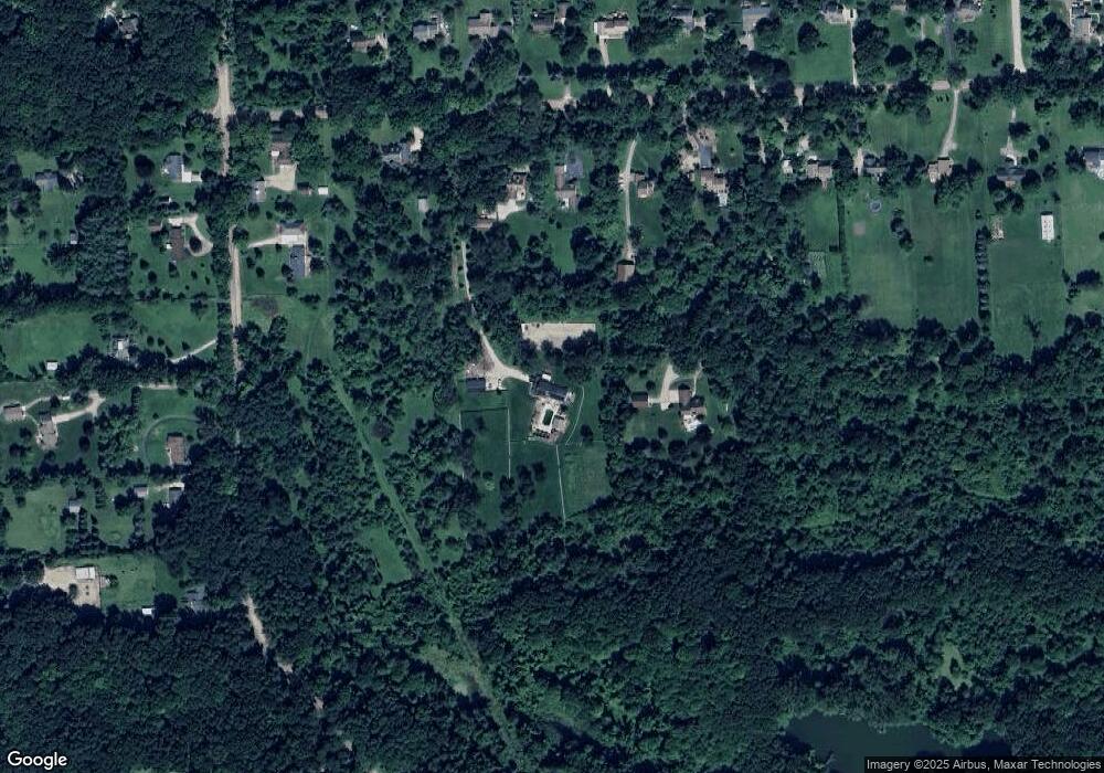
Map
Nearby Homes
- 2722 Twin Oaks Dr
- 325 W Dawson Rd
- 001 Buttercup Trail
- 4107 Flagstone Dr
- 000 Oakland & Caroline
- 1983 Marigold Way
- 213 Mountain View Ln
- 2039 Marigold Way
- 2 Verona Dr
- 1991 Marigold
- 003 Buttercup Trail
- 1347 E Dawson Rd
- 1405 E Dawson Rd
- 835 Adams
- 351 Heritage Dr
- 1078 Ravensview Trail
- 1194 Eagle Nest Ct
- Lot 19 Milford Heights
- 1503 S Milford Rd
- 521 Heritage Ridge Dr
- 240 E Dawson Rd
- 516 E Dawson Rd
- 286 E Dawson Rd
- 332 E Dawson Rd
- 378 E Dawson Rd
- 5 W North Shoreline Dr
- 2736 Stone Hollow Dr W
- 1635 Legacy Parcel C
- 190 E Dawson Rd
- 424 E Dawson Rd
- 1745 S Hill Rd
- 2 S North Shoreline Dr
- VAC S Hill Rd
- 1723 S Hill Rd
- 562 E Dawson Rd
- 295 E Dawson Rd
- 365 E Dawson Rd
- 415 E Dawson Rd
- 235 E Dawson Rd
- 1730 S Hill Rd