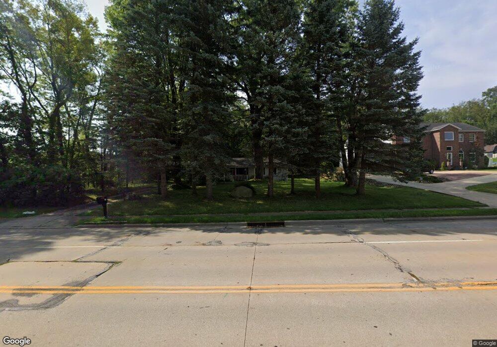
240 E Howe Rd Tallmadge, OH 44278
Estimated Value: $194,236 - $235,000
3
Beds
1
Bath
1,072
Sq Ft
$196/Sq Ft
Est. Value
About This Home
This home is located at 240 E Howe Rd, Tallmadge, OH 44278 and is currently estimated at $210,309, approximately $196 per square foot. 240 E Howe Rd is a home located in Summit County with nearby schools including Tallmadge Middle School, Tallmadge High School, and Cornerstone Community School.
Ownership History
Date
Name
Owned For
Owner Type
Purchase Details
Closed on
Oct 10, 1997
Sold by
Arnold Jack B
Bought by
Shew Diana L
Current Estimated Value
Home Financials for this Owner
Home Financials are based on the most recent Mortgage that was taken out on this home.
Original Mortgage
$92,400
Outstanding Balance
$15,171
Interest Rate
7.7%
Mortgage Type
FHA
Estimated Equity
$195,138
Create a Home Valuation Report for This Property
The Home Valuation Report is an in-depth analysis detailing your home's value as well as a comparison with similar homes in the area
Home Values in the Area
Average Home Value in this Area
Purchase History
| Date | Buyer | Sale Price | Title Company |
|---|---|---|---|
| Shew Diana L | $93,000 | -- |
Source: Public Records
Mortgage History
| Date | Status | Borrower | Loan Amount |
|---|---|---|---|
| Open | Shew Diana L | $92,400 |
Source: Public Records
Tax History
| Year | Tax Paid | Tax Assessment Tax Assessment Total Assessment is a certain percentage of the fair market value that is determined by local assessors to be the total taxable value of land and additions on the property. | Land | Improvement |
|---|---|---|---|---|
| 2024 | $2,855 | $56,035 | $17,003 | $39,032 |
| 2023 | $2,855 | $56,035 | $17,003 | $39,032 |
| 2022 | $2,382 | $38,049 | $11,263 | $26,786 |
| 2021 | $2,392 | $38,049 | $11,263 | $26,786 |
| 2020 | $2,374 | $38,050 | $11,260 | $26,790 |
| 2019 | $2,325 | $33,300 | $8,670 | $24,630 |
| 2018 | $2,055 | $33,300 | $8,670 | $24,630 |
| 2017 | $1,860 | $33,300 | $8,670 | $24,630 |
| 2016 | $2,001 | $29,770 | $8,670 | $21,100 |
| 2015 | $1,860 | $29,770 | $8,670 | $21,100 |
| 2014 | $1,847 | $29,770 | $8,670 | $21,100 |
| 2013 | $1,822 | $29,880 | $8,670 | $21,210 |
Source: Public Records
Map
Nearby Homes
- 573 Beverly Dr
- 528 E Howe Rd
- 617 Northeast Ave
- 264 Kent Dr
- 27 E Overdale Dr
- 447 Spring Grove Dr
- 0 Northeast Ave Unit 5114314
- 211 Cherry Ridge Unit 33
- 374 Spring Grove Dr
- 361 Spring Grove Dr
- 331 Cherry Ridge Unit 45
- 492 Evergreen Dr
- 341 Cherry Ridge
- 196 Northwest Ave
- 430 Cherry Ridge
- 441 Cherry Ridge Unit 52
- 132 S Main St Unit B10
- 99 N Munroe Rd
- 90 Maryann Rd
- 705 Crossings Cir Unit 705
- 234 E Howe Rd
- 587 Green Valley Dr
- 575 Green Valley Dr
- 226 E Howe Rd
- 254 Lois Ln
- 563 Green Valley Dr
- 244 Lois Ln
- 214 E Howe Rd
- 249 Lois Ln
- 552 Green Valley Dr
- 586 Green Valley Dr
- 574 Green Valley Dr
- 562 Green Valley Dr
- 200 E Howe Rd
- 542 Green Valley Dr
- 259 Lois Ln
- 298 E Howe Rd
- 190 E Howe Rd
- 521 Green Valley Dr
- 532 Green Valley Dr
Your Personal Tour Guide
Ask me questions while you tour the home.