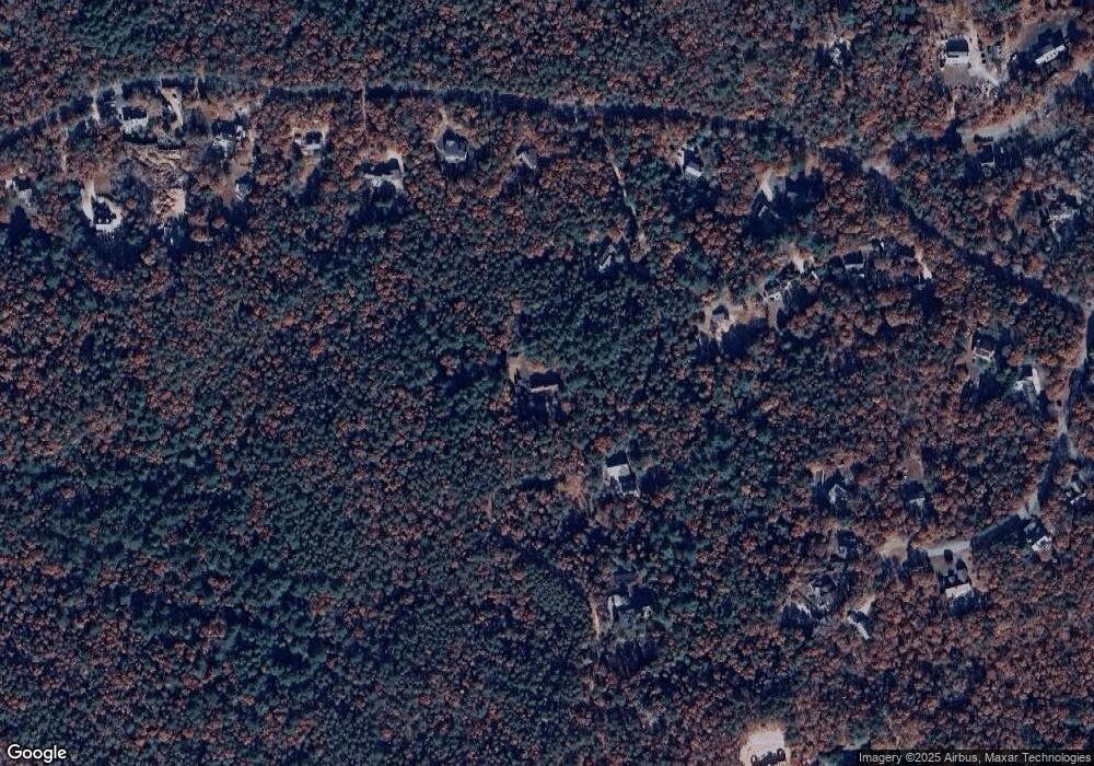
240 Fire Tower Rd East Falmouth, MA 02536
Estimated Value: $702,000 - $883,000
3
Beds
2
Baths
2,048
Sq Ft
$397/Sq Ft
Est. Value
About This Home
This home is located at 240 Fire Tower Rd, East Falmouth, MA 02536 and is currently estimated at $812,421, approximately $396 per square foot. 240 Fire Tower Rd is a home located in Barnstable County with nearby schools including Mullen-Hall School, Morse Pond School, and Lawrence School.
Ownership History
Date
Name
Owned For
Owner Type
Purchase Details
Closed on
Nov 25, 1998
Sold by
Tancredi Peter J
Bought by
Murphy Joyce A
Current Estimated Value
Home Financials for this Owner
Home Financials are based on the most recent Mortgage that was taken out on this home.
Original Mortgage
$160,000
Outstanding Balance
$36,501
Interest Rate
6.83%
Mortgage Type
Purchase Money Mortgage
Estimated Equity
$775,920
Purchase Details
Closed on
Sep 6, 1991
Sold by
Kirkham Ethel Dunham
Bought by
Tancredi Peter J and Tancredi Jacqueline
Home Financials for this Owner
Home Financials are based on the most recent Mortgage that was taken out on this home.
Original Mortgage
$99,200
Interest Rate
9.43%
Mortgage Type
Purchase Money Mortgage
Create a Home Valuation Report for This Property
The Home Valuation Report is an in-depth analysis detailing your home's value as well as a comparison with similar homes in the area
Home Values in the Area
Average Home Value in this Area
Purchase History
| Date | Buyer | Sale Price | Title Company |
|---|---|---|---|
| Murphy Joyce A | $200,000 | -- | |
| Tancredi Peter J | $124,000 | -- |
Source: Public Records
Mortgage History
| Date | Status | Borrower | Loan Amount |
|---|---|---|---|
| Open | Tancredi Peter J | $160,000 | |
| Previous Owner | Tancredi Peter J | $100,000 | |
| Previous Owner | Tancredi Peter J | $99,200 |
Source: Public Records
Tax History Compared to Growth
Tax History
| Year | Tax Paid | Tax Assessment Tax Assessment Total Assessment is a certain percentage of the fair market value that is determined by local assessors to be the total taxable value of land and additions on the property. | Land | Improvement |
|---|---|---|---|---|
| 2025 | $4,863 | $828,400 | $280,100 | $548,300 |
| 2024 | $4,777 | $760,600 | $260,100 | $500,500 |
| 2023 | $4,708 | $680,300 | $260,100 | $420,200 |
| 2022 | $4,038 | $501,600 | $163,700 | $337,900 |
| 2021 | $3,858 | $453,900 | $156,600 | $297,300 |
| 2020 | $3,777 | $439,700 | $142,400 | $297,300 |
| 2019 | $3,605 | $421,200 | $142,400 | $278,800 |
| 2018 | $3,489 | $405,700 | $142,400 | $263,300 |
| 2017 | $3,385 | $396,800 | $142,400 | $254,400 |
| 2016 | $3,321 | $396,800 | $142,400 | $254,400 |
| 2015 | $3,049 | $372,300 | $142,400 | $229,900 |
| 2014 | $2,399 | $294,300 | $149,600 | $144,700 |
Source: Public Records
Map
Nearby Homes
- 61 Mckenna Ridge Dr
- 70 Westmoreland Dr
- 126 Ambleside Dr
- 106 Ambleside Dr
- 4 Ambleside Dr
- 37 Katelyn Hills Dr
- 4 Josiah Path
- 7 Josiah Path
- 18 Josiah Path
- 32 Josiah Path
- 20 Josiah Path
- 30 Josiah Path
- 21 Josiah Path
- 850 W Falmouth Hwy Unit 11
- 102 Nashawena St
- 908 W Falmouth Hwy
- 7 Pilgrim Path
- 21 Tall Pines Rd
- 250 Fire Tower Rd
- 219 Fire Tower Rd
- 260 Fire Tower Rd
- 221 Blacksmith Shop Rd
- 251 Blacksmith Shop Rd
- 283 Blacksmith Shop Rd
- 190 Fire Tower Rd
- 211 Blacksmith Shop Rd
- 190 Fire Tower Rd
- 0 Durham Dr
- 267 Blacksmith Shop Rd
- 201 Blacksmith Shop Rd
- 291 Blacksmith Shop Rd
- 43 Durfee Dr
- 47 Durfee Dr
- 48 Durfee Dr
- 4 Blacksmith Shop Rd
- 1 Blacksmith Shop Rd
- 6 Blacksmith Shop Rd
- 251 Blacksmith Shop Rd
