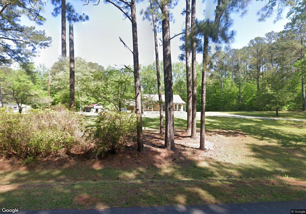
240 Hickman Fork Rd Thomaston, GA 30286
Estimated Value: $190,773 - $286,000
2
Beds
1
Bath
1,185
Sq Ft
$193/Sq Ft
Est. Value
About This Home
This home is located at 240 Hickman Fork Rd, Thomaston, GA 30286 and is currently estimated at $228,924, approximately $193 per square foot. 240 Hickman Fork Rd is a home located in Upson County with nearby schools including Upson-Lee South Elementary School, Upson-Lee North Elementary School, and Upson-Lee Middle School.
Ownership History
Date
Name
Owned For
Owner Type
Purchase Details
Closed on
Sep 2, 2010
Sold by
Richardson Robert A
Bought by
Denham Carol R
Current Estimated Value
Purchase Details
Closed on
Nov 25, 2009
Sold by
Denham Carol Richardson
Bought by
Richardson Robert Andrews
Purchase Details
Closed on
Aug 8, 2007
Sold by
Key Timothy Mark
Bought by
Harrison Tina Earls
Create a Home Valuation Report for This Property
The Home Valuation Report is an in-depth analysis detailing your home's value as well as a comparison with similar homes in the area
Home Values in the Area
Average Home Value in this Area
Purchase History
| Date | Buyer | Sale Price | Title Company |
|---|---|---|---|
| Denham Carol R | -- | -- | |
| Richardson Robert Andrews | -- | -- | |
| Richardson Robert Andrews | -- | -- | |
| Harrison Tina Earls | -- | -- |
Source: Public Records
Tax History Compared to Growth
Tax History
| Year | Tax Paid | Tax Assessment Tax Assessment Total Assessment is a certain percentage of the fair market value that is determined by local assessors to be the total taxable value of land and additions on the property. | Land | Improvement |
|---|---|---|---|---|
| 2024 | $1,514 | $69,222 | $13,487 | $55,735 |
| 2023 | $1,464 | $66,963 | $13,487 | $53,476 |
| 2022 | $1,053 | $46,548 | $7,908 | $38,640 |
| 2021 | $851 | $40,806 | $7,908 | $32,898 |
| 2020 | $837 | $38,000 | $6,848 | $31,152 |
| 2019 | $835 | $35,322 | $6,848 | $28,474 |
| 2018 | $835 | $35,322 | $6,848 | $28,474 |
| 2017 | $1,004 | $31,857 | $6,848 | $25,009 |
| 2016 | $953 | $29,868 | $5,707 | $24,161 |
| 2015 | $894 | $28,139 | $5,707 | $22,432 |
| 2014 | $679 | $21,828 | $8,967 | $12,862 |
Source: Public Records
Map
Nearby Homes
- 975 Thurston School Rd
- 0 Ellerbeetown Rd Unit 10599300
- 30 Grandview Dr
- 105 Alexandria Way
- 101 Alexandria Way
- 28 Beverly Ln
- 2971 Crest Hwy
- 168 Shadow Wood Ln
- 410 Irvin Rd
- 0 Barouche Dr Unit 10597016
- 0 Crest Hwy Unit 10563363
- 0 Crest Hwy Unit 10563371
- 0 Firetower Rd Unit 10615379
- 1730 Roland Rd
- 686 Burkett Rd
- 575 Skelton Rd
- 36 ACRES Firetower Rd
- 735 Firetower Rd
- 0 Pallet Mill Rd
- 177 Antler Dr
- 264 Hickman Fork Rd
- 167 Hickman Fork Rd
- 330 Hickman Fork Rd
- 892 Thurston School Rd
- 143 Hickman Fork Rd Unit D
- 143 Hickman Fork Rd
- 975 Thurston School Rd Unit 3
- 143D Hickman Fork Rd
- 142 Hickman Fork Rd
- 888 Thurston School Rd
- 1073 Thurston School Rd
- 935 Thurston School Rd Unit 2
- 10 Melanie Ln
- 865 Thurston School Rd
- 222 Sheila Cir
- 250 Sheila Cir
- 3715 Crest Hwy
- 93 Glencliff Rd
- 67 Glencliff Rd
- 53 Glencliff Rd