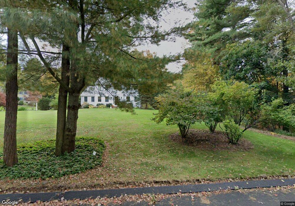
240 Joseph Rd Boxborough, MA 01719
Estimated Value: $931,715 - $1,073,000
4
Beds
3
Baths
2,404
Sq Ft
$418/Sq Ft
Est. Value
About This Home
This home is located at 240 Joseph Rd, Boxborough, MA 01719 and is currently estimated at $1,005,929, approximately $418 per square foot. 240 Joseph Rd is a home located in Middlesex County with nearby schools including Acton-Boxborough Regional High School.
Ownership History
Date
Name
Owned For
Owner Type
Purchase Details
Closed on
Apr 8, 2025
Sold by
Bull David E and Dickson-Bull Laurel L
Bought by
Dickson-Bull Lt and Bull
Current Estimated Value
Purchase Details
Closed on
Nov 6, 1996
Sold by
Northwest Structures
Bought by
Bull David E and Dickson-Bull Laurel
Create a Home Valuation Report for This Property
The Home Valuation Report is an in-depth analysis detailing your home's value as well as a comparison with similar homes in the area
Home Values in the Area
Average Home Value in this Area
Purchase History
| Date | Buyer | Sale Price | Title Company |
|---|---|---|---|
| Dickson-Bull Lt | -- | None Available | |
| Dickson-Bull Lt | -- | None Available | |
| Bull David E | $335,000 | -- | |
| Bull David E | $335,000 | -- |
Source: Public Records
Mortgage History
| Date | Status | Borrower | Loan Amount |
|---|---|---|---|
| Previous Owner | Bull David E | $370,000 | |
| Previous Owner | Bull David E | $360,800 |
Source: Public Records
Tax History
| Year | Tax Paid | Tax Assessment Tax Assessment Total Assessment is a certain percentage of the fair market value that is determined by local assessors to be the total taxable value of land and additions on the property. | Land | Improvement |
|---|---|---|---|---|
| 2025 | $13,973 | $922,900 | $295,000 | $627,900 |
| 2024 | $12,933 | $862,800 | $283,500 | $579,300 |
| 2023 | $12,387 | $798,100 | $255,500 | $542,600 |
| 2022 | $11,795 | $677,100 | $255,500 | $421,600 |
| 2020 | $10,664 | $637,800 | $255,500 | $382,300 |
| 2019 | $10,473 | $637,800 | $255,500 | $382,300 |
| 2018 | $10,456 | $602,300 | $243,400 | $358,900 |
| 2017 | $7,939 | $588,500 | $244,500 | $344,000 |
| 2016 | $9,404 | $574,800 | $244,500 | $330,300 |
| 2015 | $9,479 | $569,300 | $244,100 | $325,200 |
| 2014 | $9,567 | $540,800 | $241,600 | $299,200 |
Source: Public Records
Map
Nearby Homes
- 20 Lyons Ln Unit 20
- 77 Wheeler Dr Unit 77
- 14 Leonard Rd
- 36 Leonard Rd
- 8 Algonquin Rd
- 285 Central St Unit 285
- 60 Nashoba Rd
- 92 Willow St Unit 3
- 92 Willow St Unit 2
- 90 Willow St Unit 1
- Lot 2 Strawberry Farm
- 15 Spencer Rd Unit 12E
- 53 Swanson Ct Unit 24C
- 220 Swanson Rd Unit 605
- 220 Swanson Rd Unit 606
- 220 Swanson Rd Unit 604
- 226 Swanson Rd Unit 617
- 176 Swanson Rd Unit 304
- 79 Charter Rd
- 247 W Acton Rd
Your Personal Tour Guide
Ask me questions while you tour the home.