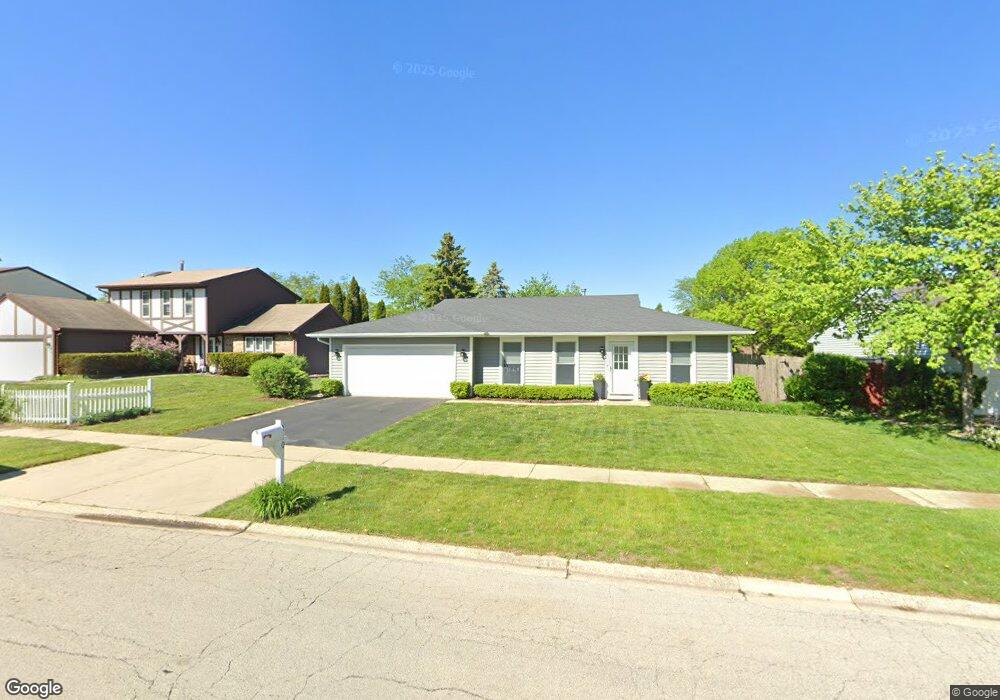
240 Mulford Ln Roselle, IL 60172
Estimated Value: $394,000 - $414,000
3
Beds
2
Baths
1,351
Sq Ft
$299/Sq Ft
Est. Value
About This Home
This home is located at 240 Mulford Ln, Roselle, IL 60172 and is currently estimated at $403,765, approximately $298 per square foot. 240 Mulford Ln is a home located in DuPage County with nearby schools including Waterbury Elementary School, Spring Wood Middle School, and Lake Park High School.
Ownership History
Date
Name
Owned For
Owner Type
Purchase Details
Closed on
Sep 27, 1999
Sold by
Rogers Brenda and Rogers Connolly Brenda K
Bought by
Tuman Michael J and Tuman Colette H
Current Estimated Value
Home Financials for this Owner
Home Financials are based on the most recent Mortgage that was taken out on this home.
Original Mortgage
$158,650
Outstanding Balance
$48,159
Interest Rate
7.9%
Estimated Equity
$355,606
Create a Home Valuation Report for This Property
The Home Valuation Report is an in-depth analysis detailing your home's value as well as a comparison with similar homes in the area
Home Values in the Area
Average Home Value in this Area
Purchase History
| Date | Buyer | Sale Price | Title Company |
|---|---|---|---|
| Tuman Michael J | $169,500 | -- |
Source: Public Records
Mortgage History
| Date | Status | Borrower | Loan Amount |
|---|---|---|---|
| Open | Tuman Michael J | $158,650 |
Source: Public Records
Tax History Compared to Growth
Tax History
| Year | Tax Paid | Tax Assessment Tax Assessment Total Assessment is a certain percentage of the fair market value that is determined by local assessors to be the total taxable value of land and additions on the property. | Land | Improvement |
|---|---|---|---|---|
| 2024 | $7,579 | $108,694 | $38,732 | $69,962 |
| 2023 | $7,010 | $99,400 | $35,420 | $63,980 |
| 2022 | $6,972 | $96,740 | $35,190 | $61,550 |
| 2021 | $6,662 | $91,910 | $33,430 | $58,480 |
| 2020 | $6,693 | $89,660 | $32,610 | $57,050 |
| 2019 | $6,485 | $86,160 | $31,340 | $54,820 |
| 2018 | $7,126 | $91,670 | $30,520 | $61,150 |
| 2017 | $6,806 | $84,970 | $28,290 | $56,680 |
| 2016 | $6,542 | $78,640 | $26,180 | $52,460 |
| 2015 | $6,457 | $73,380 | $24,430 | $48,950 |
| 2014 | $6,065 | $68,810 | $22,910 | $45,900 |
| 2013 | $6,012 | $71,160 | $23,690 | $47,470 |
Source: Public Records
Map
Nearby Homes
- 1125 Darby Ln
- 1190 Singleton Dr
- 445 Fordham Place
- 845 Case Dr
- 125 Leawood Dr
- 515 Dover Ct
- 640 Stafford Dr
- 662 Daisy Ln Unit 110
- 115 Flamingo Dr
- 871 Rosebud Ct
- 640 Rodenburg Rd
- 115 Cambrian Ct Unit 13093
- 565 Kensington Ct
- 613 Autumn Dr
- 322 Timberleaf Cir
- 815 Woodside Dr
- 675 Red Maple Ln
- 1408 Welland Ct Unit 13701
- 660 Newport St S
- 1537 Chatfield Ct Unit 13604
- 230 Mulford Ln
- 250 Mulford Ln
- 245 S Garden Ave
- 260 Mulford Ln
- 235 S Garden Ave
- 255 S Garden Ave
- 220 Mulford Ln
- 245 Mulford Ln
- 225 Mulford Ln
- 225 S Garden Ave
- 265 S Garden Ave
- 255 Mulford Ln
- 270 Mulford Ln
- 210 Mulford Ln
- 215 S Garden Ave
- 215 Mulford Ln
- 265 Mulford Ln
- 275 S Garden Ave
- 279 Mulford Ln
- 925 Mensching Rd