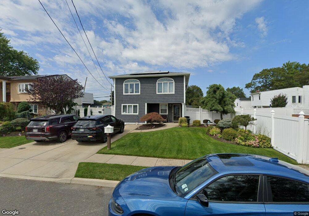
240 Muncy St Lindenhurst, NY 11757
Estimated Value: $552,649 - $740,000
--
Bed
--
Bath
1,905
Sq Ft
$347/Sq Ft
Est. Value
About This Home
This home is located at 240 Muncy St, Lindenhurst, NY 11757 and is currently estimated at $660,912, approximately $346 per square foot. 240 Muncy St is a home located in Suffolk County with nearby schools including Daniel Street School, Lindenhurst Middle School, and Lindenhurst Senior High School.
Ownership History
Date
Name
Owned For
Owner Type
Purchase Details
Closed on
Mar 8, 2002
Sold by
Vogel Richard and Vogel Lisa
Bought by
Vogel Richard
Current Estimated Value
Home Financials for this Owner
Home Financials are based on the most recent Mortgage that was taken out on this home.
Original Mortgage
$185,900
Interest Rate
10.15%
Purchase Details
Closed on
Sep 28, 1998
Sold by
Vogel Harvey and Vogel Richard
Bought by
Vogel Richard and Vogel Lisa
Home Financials for this Owner
Home Financials are based on the most recent Mortgage that was taken out on this home.
Original Mortgage
$120,000
Interest Rate
6.8%
Create a Home Valuation Report for This Property
The Home Valuation Report is an in-depth analysis detailing your home's value as well as a comparison with similar homes in the area
Home Values in the Area
Average Home Value in this Area
Purchase History
| Date | Buyer | Sale Price | Title Company |
|---|---|---|---|
| Vogel Richard | -- | Stewart Title | |
| Vogel Richard | -- | -- | |
| Vogel Harvey | -- | -- |
Source: Public Records
Mortgage History
| Date | Status | Borrower | Loan Amount |
|---|---|---|---|
| Closed | Vogel Richard | $185,900 | |
| Closed | Vogel Harvey | $120,000 |
Source: Public Records
Tax History Compared to Growth
Tax History
| Year | Tax Paid | Tax Assessment Tax Assessment Total Assessment is a certain percentage of the fair market value that is determined by local assessors to be the total taxable value of land and additions on the property. | Land | Improvement |
|---|---|---|---|---|
| 2024 | $13,679 | $3,980 | $230 | $3,750 |
| 2023 | $12,232 | $3,980 | $230 | $3,750 |
| 2022 | $10,598 | $3,980 | $230 | $3,750 |
| 2021 | $10,598 | $3,980 | $230 | $3,750 |
| 2020 | $11,092 | $3,980 | $230 | $3,750 |
| 2019 | $12,221 | $0 | $0 | $0 |
| 2018 | $10,486 | $3,980 | $230 | $3,750 |
| 2017 | $10,486 | $3,980 | $230 | $3,750 |
| 2016 | $10,533 | $3,980 | $230 | $3,750 |
| 2015 | -- | $3,980 | $230 | $3,750 |
| 2014 | -- | $3,980 | $230 | $3,750 |
Source: Public Records
Map
Nearby Homes
- 145 Centre Ave
- 247 N Greene Ave
- 417 N Monroe Ave
- 404 N Putnam Ave
- 457 N Monroe Ave
- 436 N Ontario Ave
- 261 E Hoffman Ave
- 465 N Monroe Ave
- 136 N Delaware Ave
- 475 N Putnam Ave
- 322 Kansas St
- 141 Park Ave
- 833 Bermuda Rd
- 805 Arlington Rd
- 468 N Greene Ave
- 380 N Delaware Ave
- 557 N Kings Ave
- 405 N Clinton Ave
- 104 E Gates Ave
- 196 S Broome Ave
- 236 Muncy St
- 203 N Monroe Ave
- 209 N Monroe Ave
- 228 N Lewis Ave
- 239 Muncy St
- 280 E John St
- 199 N Monroe Ave
- 300 E John St
- 308 Muncy St
- 210 N Monroe Ave
- 223 Muncy St
- 240 N Lewis Ave
- 218 N Monroe Ave
- 184 N Lewis Ave
- 189 N Monroe Ave
- 309 Muncy St
- 211 Muncy St
- 251 N Monroe Ave
- 185 N Lewis Ave
- 192 N Monroe Ave