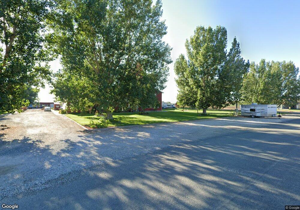
240 N Cloud Peak St Byron, WY 82412
Estimated Value: $243,789 - $338,000
4
Beds
3
Baths
2,636
Sq Ft
$108/Sq Ft
Est. Value
About This Home
This home is located at 240 N Cloud Peak St, Byron, WY 82412 and is currently estimated at $284,930, approximately $108 per square foot. 240 N Cloud Peak St is a home.
Ownership History
Date
Name
Owned For
Owner Type
Purchase Details
Closed on
Sep 15, 2023
Sold by
Rusch James A and Rusch Rosanna N
Bought by
Rusch James A and Rusch Rosanna N
Current Estimated Value
Purchase Details
Closed on
Mar 4, 2009
Sold by
George Bret Boone and George Rachel Ann
Bought by
George Bret B and George Rachel A
Home Financials for this Owner
Home Financials are based on the most recent Mortgage that was taken out on this home.
Original Mortgage
$105,500
Interest Rate
5.13%
Mortgage Type
New Conventional
Create a Home Valuation Report for This Property
The Home Valuation Report is an in-depth analysis detailing your home's value as well as a comparison with similar homes in the area
Home Values in the Area
Average Home Value in this Area
Purchase History
| Date | Buyer | Sale Price | Title Company |
|---|---|---|---|
| Rusch James A | -- | None Listed On Document | |
| George Bret B | -- | -- |
Source: Public Records
Mortgage History
| Date | Status | Borrower | Loan Amount |
|---|---|---|---|
| Previous Owner | George Bret B | $105,500 |
Source: Public Records
Tax History Compared to Growth
Tax History
| Year | Tax Paid | Tax Assessment Tax Assessment Total Assessment is a certain percentage of the fair market value that is determined by local assessors to be the total taxable value of land and additions on the property. | Land | Improvement |
|---|---|---|---|---|
| 2025 | $1,233 | $10,987 | $1,743 | $9,244 |
| 2024 | $1,471 | $15,515 | $2,234 | $13,281 |
| 2023 | $1,409 | $17,718 | $3,867 | $13,851 |
| 2022 | $1,144 | $14,386 | $3,487 | $10,899 |
| 2021 | $1,175 | $14,780 | $3,487 | $11,293 |
| 2020 | $1,222 | $15,366 | $3,012 | $12,354 |
| 2019 | $1,213 | $15,362 | $2,964 | $12,398 |
| 2018 | $1,158 | $14,563 | $2,014 | $12,549 |
| 2017 | $1,147 | $14,992 | $2,034 | $12,958 |
| 2016 | $1,179 | $15,409 | $0 | $0 |
| 2015 | -- | $15,695 | $0 | $0 |
| 2014 | -- | $15,987 | $0 | $0 |
| 2013 | -- | $15,478 | $1,934 | $13,544 |
Source: Public Records
Map
Nearby Homes
- 148 Yellowstone Ave W
- TBD W Main St Unit 2
- 587 & 589 Hwy 14a
- TBD E Platte Ave
- 30 W Main St
- 7 E Riverview Ave
- 0 County Road 5
- TBD Lane 12
- 124 Highway 14a W
- 276 S Hwy 32
- 11 Benchview Ln
- TBD Benchview Ct Unit 3
- 1014 Lane 12
- 1062 Lane 13
- 1039 Lane 12
- 1328 Road 11
- 308 Hampshire Ave
- 725 Road 6 1 2
- 11 Sundown Dr Unit 5
- 459 Idaho Ave
- 304 N Cloud Peak St
- 220 N Cloud Peak St
- 241 W Platte Ave
- 0 W Platte Ave
- TBD W Platte Ave
- 122 N Cloud Peak St
- 144 W Platte Ave
- 144 W Platte Ave Unit 144
- 307 W Platte Ave
- 242 W Platte Ave
- 242 N Heart Mountain St
- 138 W Platte Ave
- 120 N Cloud Peak St
- 230 N Heart Mountain St
- 111 W Platte Ave
- 134 W Platte Ave
- 242 N Heart Mountain St
- 118 N Cloud Peak St
- 233 N Heart Mountain St
- 209 N Heart Mountain St
