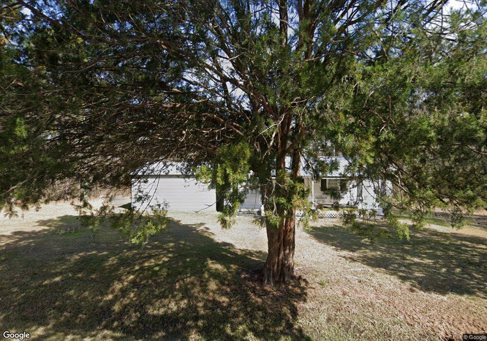
240 Old State Route 50 Sylvester, GA 31791
Estimated Value: $76,307 - $243,000
2
Beds
1
Bath
792
Sq Ft
$206/Sq Ft
Est. Value
About This Home
This home is located at 240 Old State Route 50, Sylvester, GA 31791 and is currently estimated at $162,827, approximately $205 per square foot. 240 Old State Route 50 is a home located in Worth County with nearby schools including Worth County Primary School, Worth County Elementary School, and Worth County Middle School.
Ownership History
Date
Name
Owned For
Owner Type
Purchase Details
Closed on
Apr 22, 2008
Sold by
Eunice Stella Turner
Bought by
Sloan Lanny R
Current Estimated Value
Create a Home Valuation Report for This Property
The Home Valuation Report is an in-depth analysis detailing your home's value as well as a comparison with similar homes in the area
Home Values in the Area
Average Home Value in this Area
Purchase History
| Date | Buyer | Sale Price | Title Company |
|---|---|---|---|
| Sloan Lanny R | -- | -- |
Source: Public Records
Tax History Compared to Growth
Tax History
| Year | Tax Paid | Tax Assessment Tax Assessment Total Assessment is a certain percentage of the fair market value that is determined by local assessors to be the total taxable value of land and additions on the property. | Land | Improvement |
|---|---|---|---|---|
| 2024 | $576 | $10,934 | $1,354 | $9,580 |
| 2023 | $576 | $10,717 | $1,354 | $9,363 |
| 2022 | $570 | $10,717 | $1,354 | $9,363 |
| 2021 | $547 | $10,717 | $1,354 | $9,363 |
| 2020 | $547 | $10,717 | $1,354 | $9,363 |
| 2019 | $547 | $10,717 | $1,354 | $9,363 |
| 2018 | $307 | $10,717 | $1,354 | $9,363 |
| 2017 | $307 | $10,717 | $1,354 | $9,363 |
| 2016 | $307 | $10,717 | $1,354 | $9,363 |
| 2015 | $308 | $10,717 | $1,354 | $9,363 |
| 2014 | $308 | $10,718 | $1,354 | $9,363 |
| 2013 | -- | $10,718 | $1,354 | $9,363 |
| 2012 | -- | $10,717 | $1,354 | $9,363 |
Source: Public Records
Map
Nearby Homes
- 128 Airport Rd
- 107 Gardner Rd
- 103 N Ayers St
- 0 W Pinson St Unit 10582366
- 101 Elm St
- 1011 N Washington St
- 801 N Washington St
- 1102 N Washington St
- 1007 N Isabella St
- 0 N Isabella St Unit 161570
- 701 N Isabella St
- 100 Carriage Ln
- 213 Aspen Ln
- 710 S Jefferson St
- 307 E Pope St
- 203 E Pinson St
- 1432 S Ga Hwy 33s
- 109 Huntington Ct
- 316 Bell Rd
- 202 N Westberry St
- 0 State Rd 50
- 125 Sing Rd
- 228 Old State Route 50
- 314 Old State Route 50
- 320 Old State Route 50
- 120 Sing Rd
- 0 Sing Rd
- 130 Sing Rd
- 2915 Us Highway 82 W
- 2915 U S Highway 82 W
- 2975 Us Highway 82 W
- 136 Sing Rd
- 135 Sing Rd
- 2960 Us Highway 82 W
- 2899 Us Highway 82 W
- 2 Airport Rd
- 139 Sing Rd
- 106 Airport Rd
- 0 W U S Highway 82
- 326 Lakeside Cir