240 Perry Hill Rd Acushnet, MA 02743
Upper Acushnet NeighborhoodEstimated Value: $741,000 - $802,000
--
Bed
2
Baths
2,991
Sq Ft
$257/Sq Ft
Est. Value
About This Home
This home is located at 240 Perry Hill Rd, Acushnet, MA 02743 and is currently estimated at $769,768, approximately $257 per square foot. 240 Perry Hill Rd is a home located in Bristol County with nearby schools including Acushnet Elementary School, Albert F Ford Middle School, and Alma Del Mar Charter School.
Ownership History
Date
Name
Owned For
Owner Type
Purchase Details
Closed on
Aug 24, 1993
Sold by
Albritton Carlton C and Albritton Marion G
Bought by
Cardoso Antonio T and Cardoso Maria C
Current Estimated Value
Home Financials for this Owner
Home Financials are based on the most recent Mortgage that was taken out on this home.
Original Mortgage
$20,000
Interest Rate
7.11%
Mortgage Type
Purchase Money Mortgage
Create a Home Valuation Report for This Property
The Home Valuation Report is an in-depth analysis detailing your home's value as well as a comparison with similar homes in the area
Home Values in the Area
Average Home Value in this Area
Purchase History
| Date | Buyer | Sale Price | Title Company |
|---|---|---|---|
| Cardoso Antonio T | $42,000 | -- |
Source: Public Records
Mortgage History
| Date | Status | Borrower | Loan Amount |
|---|---|---|---|
| Closed | Cardoso Antonio T | $20,000 |
Source: Public Records
Tax History Compared to Growth
Tax History
| Year | Tax Paid | Tax Assessment Tax Assessment Total Assessment is a certain percentage of the fair market value that is determined by local assessors to be the total taxable value of land and additions on the property. | Land | Improvement |
|---|---|---|---|---|
| 2025 | $66 | $613,800 | $180,500 | $433,300 |
| 2024 | $6,700 | $587,200 | $171,100 | $416,100 |
| 2023 | $6,631 | $552,600 | $155,300 | $397,300 |
| 2022 | $5,871 | $442,400 | $146,300 | $296,100 |
| 2021 | $4,530 | $433,800 | $146,300 | $287,500 |
| 2020 | $5,922 | $424,800 | $137,300 | $287,500 |
| 2019 | $4,216 | $417,000 | $131,300 | $285,700 |
| 2018 | $5,738 | $397,900 | $131,300 | $266,600 |
| 2017 | $3,704 | $388,100 | $131,300 | $256,800 |
| 2016 | $5,399 | $371,600 | $131,300 | $240,300 |
| 2015 | $4,988 | $349,300 | $131,300 | $218,000 |
Source: Public Records
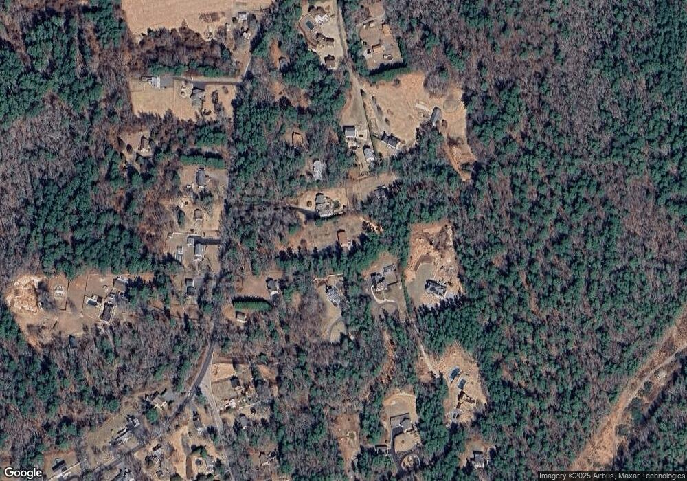
Map
Nearby Homes
- 57 Perry Hill Rd
- 661 Main St
- 293 Mendall Rd
- 0 Confidential Way Unit 73340085
- 0 Rounseville Rd
- 1 Rounseville Rd
- 1 Clems Way
- 224 North St
- 363 Main St
- 649 Middle Rd
- 21 Robinson Rd
- 225 Mattapoisett Rd
- 7 Laura Ln
- 16 Brookside Dr
- 8 Abby Ln
- 0 Long Plain Rd
- 16 Morses Ln
- 3 Morses Ln
- 7 Morses Ln
- 43 Hartley Rd
- 244 Perry Hill Rd
- 224 Perry Hill Rd
- 246 Perry Hill Rd
- 222 Perry Hill Rd
- 234 Perry Hill Rd
- 294 Perry Hill Rd
- 248 Perry Hill Rd
- 298 Perry Hill Rd
- 220 Perry Hill Rd
- 230 Perry Hill Rd
- 243 Perry Hill Rd
- 245 Perry Hill Rd
- 247 Perry Hill Rd
- 233 Perry Hill Rd
- 288 Perry Hill Rd
- 2 Gammons Rd
- 0 Gammons Rd
- 00 Gammons Rd
- 0 Gammons Rd Unit 71722870
- 269 Perry Hill Rd