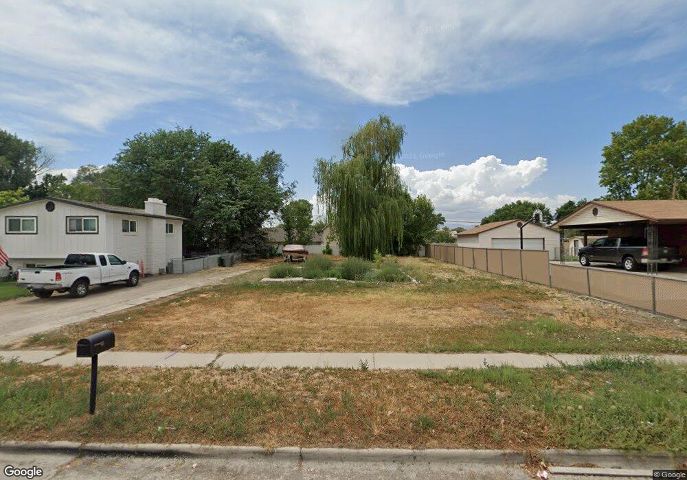
240 S 200 E American Fork, UT 84003
Estimated Value: $399,000
3
Beds
2
Baths
814
Sq Ft
$490/Sq Ft
Est. Value
About This Home
This home is located at 240 S 200 E, American Fork, UT 84003 and is currently estimated at $399,000, approximately $490 per square foot. 240 S 200 E is a home located in Utah County with nearby schools including Greenwood Elementary School, American Fork Junior High School, and American Fork High School.
Ownership History
Date
Name
Owned For
Owner Type
Purchase Details
Closed on
Aug 5, 2021
Sold by
North Richard and Degeorge Coralee
Bought by
Durrant Patrick Eugene and Durrant Kimberly Dawn
Current Estimated Value
Home Financials for this Owner
Home Financials are based on the most recent Mortgage that was taken out on this home.
Original Mortgage
$104,000
Outstanding Balance
$97,497
Interest Rate
5.25%
Mortgage Type
New Conventional
Estimated Equity
$298,503
Purchase Details
Closed on
Oct 16, 2020
Sold by
Greene R Kim and Russell T Greene Family Trust
Bought by
Greene R Kim R and Greene Sherry
Purchase Details
Closed on
Jul 17, 2019
Sold by
Greene R Kim and Greene Sherry
Bought by
North Richard and Degeorge Coralee
Purchase Details
Closed on
Mar 28, 2008
Sold by
Greene R Kim
Bought by
Greene R Kim and Greene Sherry
Create a Home Valuation Report for This Property
The Home Valuation Report is an in-depth analysis detailing your home's value as well as a comparison with similar homes in the area
Home Values in the Area
Average Home Value in this Area
Purchase History
| Date | Buyer | Sale Price | Title Company |
|---|---|---|---|
| Durrant Patrick Eugene | -- | Stewart Title Ins Agency | |
| Greene R Kim R | -- | Backman Title Services Ltd | |
| North Richard | -- | Backman Orem | |
| Greene R Kim | -- | None Available |
Source: Public Records
Mortgage History
| Date | Status | Borrower | Loan Amount |
|---|---|---|---|
| Open | Durrant Patrick Eugene | $104,000 |
Source: Public Records
Tax History
| Year | Tax Paid | Tax Assessment Tax Assessment Total Assessment is a certain percentage of the fair market value that is determined by local assessors to be the total taxable value of land and additions on the property. | Land | Improvement |
|---|---|---|---|---|
| 2025 | $1,681 | $196,100 | $196,100 | -- |
| 2024 | $1,681 | $186,800 | $0 | $0 |
| 2023 | $1,586 | $186,800 | $0 | $0 |
| 2022 | $1,695 | $197,100 | $197,100 | $0 |
| 2021 | $1,378 | $140,800 | $140,800 | $0 |
| 2020 | $1,284 | $226,200 | $125,700 | $100,500 |
| 2019 | $1,127 | $205,200 | $107,700 | $97,500 |
| 2018 | $1,093 | $190,300 | $96,900 | $93,400 |
| 2017 | $1,035 | $97,240 | $0 | $0 |
| 2016 | $988 | $86,240 | $0 | $0 |
| 2015 | $983 | $81,455 | $0 | $0 |
| 2014 | $902 | $73,755 | $0 | $0 |
Source: Public Records
Map
Nearby Homes
Your Personal Tour Guide
Ask me questions while you tour the home.