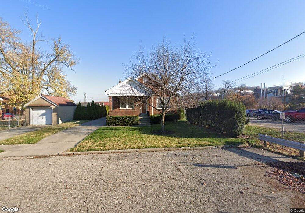
240 Sherman Ave Cincinnati, OH 45215
Roselawn NeighborhoodEstimated Value: $177,000 - $255,000
About This Home
This home is located at 240 Sherman Ave, Cincinnati, OH 45215 and is currently estimated at $204,244, approximately $176 per square foot. 240 Sherman Ave is a home located in Hamilton County with nearby schools including Reading Community High School and Saints Peter and Paul Academy.
Ownership History
We collect this data history from publicly available records. To have your information removed, we recommend requesting removal directly through your county’s website.
Purchase Details
Purchase Details
Home Financials for this Owner
Home Financials are based on the most recent Mortgage that was taken out on this home.Purchase Details
Home Financials for this Owner
Home Financials are based on the most recent Mortgage that was taken out on this home.Purchase Details
Home Financials for this Owner
Home Financials are based on the most recent Mortgage that was taken out on this home.Home Values in the Area
Average Home Value in this Area
Purchase History
We collect this data history from publicly available records. To have your information removed, we recommend requesting removal directly through your county’s website.
| Date | Buyer | Sale Price | Title Company |
|---|---|---|---|
| $125,000 | Ltoc | ||
| -- | -- | ||
| $91,700 | -- | ||
| $75,000 | -- |
Mortgage History
We collect this data history from publicly available records. To have your information removed, we recommend requesting removal directly through your county’s website.
| Date | Status | Borrower | Loan Amount |
|---|---|---|---|
| Previous Owner | $94,451 | ||
| Previous Owner | $60,000 |
Tax History
We collect this data history from publicly available records. To have your information removed, we recommend requesting removal directly through your county’s website.
| Year | Tax Paid | Tax Assessment Tax Assessment Total Assessment is a certain percentage of the fair market value that is determined by local assessors to be the total taxable value of land and additions on the property. | Land | Improvement |
|---|---|---|---|---|
| 2025 | $2,359 | $44,349 | $10,101 | $34,248 |
| 2023 | $2,341 | $44,349 | $10,101 | $34,248 |
| 2022 | $2,456 | $36,051 | $8,124 | $27,927 |
| 2021 | $2,058 | $36,051 | $8,124 | $27,927 |
| 2020 | $2,072 | $36,051 | $8,124 | $27,927 |
| 2019 | $2,011 | $31,903 | $7,189 | $24,714 |
| 2018 | $2,013 | $31,903 | $7,189 | $24,714 |
| 2017 | $1,902 | $31,903 | $7,189 | $24,714 |
| 2016 | $2,047 | $34,405 | $7,616 | $26,789 |
| 2015 | $2,060 | $34,405 | $7,616 | $26,789 |
| 2014 | $1,804 | $34,405 | $7,616 | $26,789 |
| 2013 | $1,828 | $35,105 | $7,770 | $27,335 |
Map
- 8627 Reading Rd
- 645 Blanche Ave
- 321 Southern Ave
- 539 Jefferson Ave
- 668 Elliott Ave
- 529 Elliott Ave
- 654 3rd St
- 522 Elliott Ave
- 8084 Stillwell Rd
- 0 Hill St Unit 1616370
- 406 Williams St
- 228 Central Ave
- 251 Harvest Ln
- 806 Wachendorf St
- 4111 North St
- 7460 Fair Oaks Dr
- 116 Pike St
- 620 Maple Dr
- 629 Maple Dr
- 435 Pearl St
- 8430 Reading Rd
- 8428 Reading Rd
- 8432 Reading Rd
- 8420 Reading Rd
- 8439 Reading Rd
- 8431 Reading Rd
- 8418 Reading Rd
- 8429 Reading Rd
- 8427 Reading Rd
- 8423 Reading Rd
- 11 Clark Rd
- 8421 Reading Rd
- 8507 Reading Rd
- 8419 Reading Rd
- 8509 Reading Rd
- 8412 Reading Rd
- 12 Clark Rd
- 266 Burkhart Ave
- 8417 Reading Rd
- 262 Burkhart Ave
Ask me questions while you tour the home.