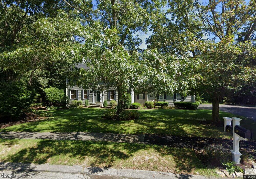
240 Tilting Rock Rd Wrentham, MA 02093
Estimated Value: $850,000 - $1,024,000
4
Beds
4
Baths
2,610
Sq Ft
$354/Sq Ft
Est. Value
About This Home
This home is located at 240 Tilting Rock Rd, Wrentham, MA 02093 and is currently estimated at $923,811, approximately $353 per square foot. 240 Tilting Rock Rd is a home located in Norfolk County with nearby schools including Delaney Elementary School, Charles E Roderick, and The Sage School.
Ownership History
Date
Name
Owned For
Owner Type
Purchase Details
Closed on
Jun 7, 1996
Sold by
Lorusso Gerard C
Bought by
Allan Andrew J and Allan Sharon A
Current Estimated Value
Create a Home Valuation Report for This Property
The Home Valuation Report is an in-depth analysis detailing your home's value as well as a comparison with similar homes in the area
Home Values in the Area
Average Home Value in this Area
Purchase History
| Date | Buyer | Sale Price | Title Company |
|---|---|---|---|
| Allan Andrew J | $272,500 | -- |
Source: Public Records
Mortgage History
| Date | Status | Borrower | Loan Amount |
|---|---|---|---|
| Open | Allan Andrew J | $143,600 | |
| Closed | Allan Andrew J | $190,000 | |
| Closed | Allan Andrew J | $28,000 | |
| Closed | Allan Andrew J | $199,700 |
Source: Public Records
Tax History Compared to Growth
Tax History
| Year | Tax Paid | Tax Assessment Tax Assessment Total Assessment is a certain percentage of the fair market value that is determined by local assessors to be the total taxable value of land and additions on the property. | Land | Improvement |
|---|---|---|---|---|
| 2025 | $9,399 | $811,000 | $302,800 | $508,200 |
| 2024 | $8,964 | $747,000 | $302,800 | $444,200 |
| 2023 | $8,820 | $698,900 | $275,200 | $423,700 |
| 2022 | $8,597 | $628,900 | $256,700 | $372,200 |
| 2021 | $7,981 | $567,200 | $224,100 | $343,100 |
| 2020 | $8,192 | $574,900 | $199,300 | $375,600 |
| 2019 | $8,116 | $574,800 | $215,900 | $358,900 |
| 2018 | $7,990 | $561,100 | $216,100 | $345,000 |
| 2017 | $7,776 | $545,700 | $211,900 | $333,800 |
| 2016 | $7,666 | $536,800 | $205,800 | $331,000 |
| 2015 | $7,408 | $494,500 | $182,700 | $311,800 |
| 2014 | $7,341 | $479,500 | $175,700 | $303,800 |
Source: Public Records
Map
Nearby Homes
- 319 Taunton St
- 362 East St
- 10 Nature View Dr
- 15 Nature View Dr
- 1 Lorraine Metcalf Dr
- 270 Dedham St
- 11 Earle Stewart Ln
- 131 Creek St Unit 7
- Lot 3 - 14 Earle Stewart Ln
- Lot 1 - Blueberry 2 Car Plan at King Philip Estates
- Lot 8 - Blueberry 2 Car Plan at King Philip Estates
- Lot 5 - Hughes 2 car Plan at King Philip Estates
- Lot 6 - Blueberry 3 Car Plan at King Philip Estates
- Lot 2 - Camden 2 Car Plan at King Philip Estates
- Lot 7 - Cedar Plan at King Philip Estates
- Lot 4 - Hemingway 2 Car Plan at King Philip Estates
- Lot 3 - Blueberry 2 Car Plan at King Philip Estates
- 120 Hawes St
- 65 Pond St
- 483 Thurston St
- 250 Tilting Rock Rd
- 230 Tilting Rock Rd
- 215 Tilting Rock Rd
- 55 Tilting Rock Rd
- 235 Tilting Rock Rd
- 220 Tilting Rock Rd
- 45 Tilting Rock Rd
- 210 Tilting Rock Rd
- 195 Tilting Rock Rd
- 35 Tilting Rock Rd
- 65 Tilting Rock Rd
- 60 Tilting Rock Rd
- 200 Tilting Rock Rd
- 25 Tilting Rock Rd
- 50 Tilting Rock Rd
- 190 Tilting Rock Rd
- 180 Tilting Rock Rd
- 40 Tilting Rock Rd
- 30 Tilting Rock Rd
- 95 Tilting Rock Rd