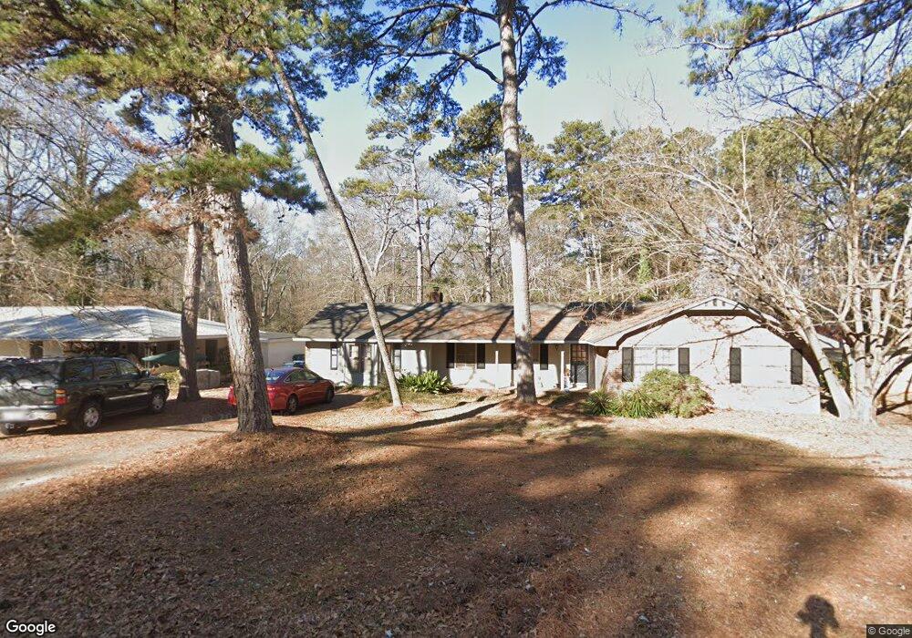
240 University Cir Athens, GA 30605
Estimated Value: $283,559 - $367,000
--
Bed
--
Bath
2,261
Sq Ft
$151/Sq Ft
Est. Value
About This Home
This home is located at 240 University Cir, Athens, GA 30605 and is currently estimated at $342,140, approximately $151 per square foot. 240 University Cir is a home located in Clarke County with nearby schools including Barnett Shoals Elementary School, Hilsman Middle School, and Cedar Shoals High School.
Ownership History
Date
Name
Owned For
Owner Type
Purchase Details
Closed on
Jun 27, 2002
Sold by
Rosenthal Samuel C Inter Vivos
Bought by
Brawner Robert V
Current Estimated Value
Purchase Details
Closed on
Mar 8, 2002
Sold by
Carnation L P
Bought by
Rosenthal Samuel C Inter Vivos Trust
Purchase Details
Closed on
Nov 17, 2000
Sold by
Rosenthal Samuel C Inter Vivos
Bought by
Carnation L P
Purchase Details
Closed on
Jan 10, 1994
Sold by
Rosenthal Samuel C
Bought by
Rosenthal Samuel C Inter Vivos Trust By
Create a Home Valuation Report for This Property
The Home Valuation Report is an in-depth analysis detailing your home's value as well as a comparison with similar homes in the area
Home Values in the Area
Average Home Value in this Area
Purchase History
| Date | Buyer | Sale Price | Title Company |
|---|---|---|---|
| Brawner Robert V | $94,600 | -- | |
| Rosenthal Samuel C Inter Vivos Trust | -- | -- | |
| Carnation L P | -- | -- | |
| Rosenthal Samuel C Inter Vivos Trust By | -- | -- |
Source: Public Records
Tax History Compared to Growth
Tax History
| Year | Tax Paid | Tax Assessment Tax Assessment Total Assessment is a certain percentage of the fair market value that is determined by local assessors to be the total taxable value of land and additions on the property. | Land | Improvement |
|---|---|---|---|---|
| 2025 | $3,386 | $109,041 | $12,000 | $97,041 |
| 2024 | $3,386 | $101,406 | $12,000 | $89,406 |
| 2023 | $3,169 | $96,148 | $12,000 | $84,148 |
| 2022 | $2,596 | $81,364 | $12,000 | $69,364 |
| 2021 | $2,256 | $66,955 | $12,000 | $54,955 |
| 2020 | $2,077 | $61,640 | $12,000 | $49,640 |
| 2019 | $2,008 | $59,135 | $12,000 | $47,135 |
| 2018 | $1,923 | $56,641 | $12,000 | $44,641 |
| 2017 | $1,679 | $49,459 | $12,000 | $37,459 |
| 2016 | $1,675 | $49,344 | $12,000 | $37,344 |
| 2015 | $1,684 | $49,520 | $12,000 | $37,520 |
| 2014 | $1,723 | $50,608 | $12,000 | $38,608 |
Source: Public Records
Map
Nearby Homes
- 220 University Cir
- 260 University Cir
- 210 University Cir
- 245 University Cir
- 270 University Cir Unit 270 University Circl
- 270 University Cir
- 110 Vista Dr
- 196 University Cir
- 280 University Cir
- 275 University Cir
- 160 Vista Dr
- 190 University Cir
- 285 University Cir
- 290 University Cir
- 106 Stafford Dr
- 190 Vista Dr
- 195 University Cir
- 140 Spalding Cir
- 112 Stafford Dr
- 160 University Cir