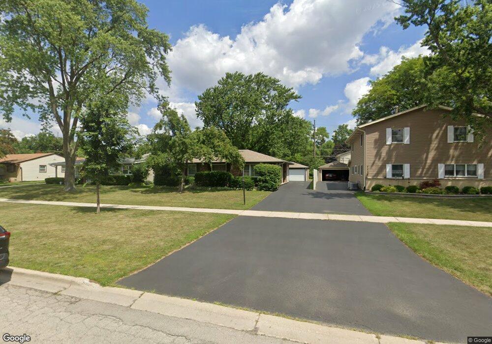
2400 Central Rd Unit 2519 Rolling Meadows, IL 60008
Estimated Value: $370,305 - $391,000
4
Beds
2
Baths
1,516
Sq Ft
$252/Sq Ft
Est. Value
About This Home
This home is located at 2400 Central Rd Unit 2519, Rolling Meadows, IL 60008 and is currently estimated at $382,576, approximately $252 per square foot. 2400 Central Rd Unit 2519 is a home located in Cook County with nearby schools including Kimball Hill Elementary School, King Elementary School, and Carl Sandburg Junior High School.
Ownership History
Date
Name
Owned For
Owner Type
Purchase Details
Closed on
Sep 19, 1995
Sold by
Sato Kazutaka and Sato Masako
Bought by
Dubinski Daniel R and Dubinski Rosana M
Current Estimated Value
Home Financials for this Owner
Home Financials are based on the most recent Mortgage that was taken out on this home.
Original Mortgage
$126,000
Interest Rate
7.8%
Create a Home Valuation Report for This Property
The Home Valuation Report is an in-depth analysis detailing your home's value as well as a comparison with similar homes in the area
Home Values in the Area
Average Home Value in this Area
Purchase History
| Date | Buyer | Sale Price | Title Company |
|---|---|---|---|
| Dubinski Daniel R | $140,000 | -- |
Source: Public Records
Mortgage History
| Date | Status | Borrower | Loan Amount |
|---|---|---|---|
| Closed | Dubinski Daniel R | $126,000 |
Source: Public Records
Tax History Compared to Growth
Tax History
| Year | Tax Paid | Tax Assessment Tax Assessment Total Assessment is a certain percentage of the fair market value that is determined by local assessors to be the total taxable value of land and additions on the property. | Land | Improvement |
|---|---|---|---|---|
| 2024 | $4,420 | $25,000 | $4,290 | $20,710 |
| 2023 | $4,367 | $25,000 | $4,290 | $20,710 |
| 2022 | $4,367 | $25,000 | $4,290 | $20,710 |
| 2021 | $4,577 | $20,483 | $2,535 | $17,948 |
| 2020 | $4,194 | $20,483 | $2,535 | $17,948 |
| 2019 | $4,171 | $22,886 | $2,535 | $20,351 |
| 2018 | $4,685 | $21,335 | $2,340 | $18,995 |
| 2017 | $4,628 | $21,335 | $2,340 | $18,995 |
| 2016 | $5,041 | $21,335 | $2,340 | $18,995 |
| 2015 | $3,985 | $17,153 | $2,145 | $15,008 |
| 2014 | $5,352 | $21,816 | $2,145 | $19,671 |
| 2013 | $6,544 | $21,816 | $2,145 | $19,671 |
Source: Public Records
Map
Nearby Homes
- 2503 Fulle St Unit 17
- 2303 Fulle St
- 3805 Wren Ln
- 1107 S Old Wilke Rd Unit 201
- 1117 S Old Wilke Rd Unit 206
- 2930 Northampton Dr Unit A2
- 1126 S New Wilke Rd Unit 307
- 2312 Algonquin Rd Unit 3
- 2508 Algonquin Rd Unit 16
- 1207 S Old Wilke Rd Unit 303
- 1217 S Old Wilke Rd Unit 11110
- 1217 S Old Wilke Rd Unit 11406
- 1206 S New Wilke Rd Unit 108
- 2504 Algonquin Rd Unit 14
- 2504 Algonquin Rd Unit 17
- 1227 S Old Wilke Rd Unit 201
- 1227 S Old Wilke Rd Unit 306
- 2402 Algonquin Rd Unit 9
- 1602 W Orchard Place Unit 1602C
- 2100 Martin Ln
- 2308 Central Rd
- 2402 Central Rd
- 2306 W Central Rd
- 2306 Central Rd
- 2404 Central Rd
- 2401 Fulle St
- 2309 Fulle St
- 2403 Fulle St
- 2307 Fulle St
- 2405 Fulle St
- 2304 Central Rd
- 2406 Central Rd
- 2305 Fulle St
- 2407 Fulle St
- 2401 Central Rd
- 2403 Central Rd
- 2408 Central Rd
- 2408 W Central Rd
- 2309 Central Rd
- 2302 Central Rd
