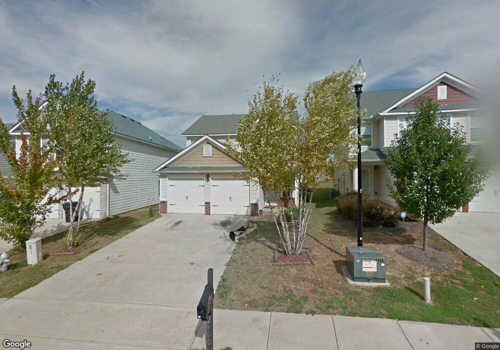
2400 Cornell Cir McDonough, GA 30253
Estimated Value: $275,020 - $298,000
3
Beds
3
Baths
1,741
Sq Ft
$163/Sq Ft
Est. Value
About This Home
This home is located at 2400 Cornell Cir, McDonough, GA 30253 and is currently estimated at $284,255, approximately $163 per square foot. 2400 Cornell Cir is a home located in Henry County with nearby schools including Wesley Lakes Elementary School, Eagle's Landing Middle School, and Eagle's Landing High School.
Ownership History
Date
Name
Owned For
Owner Type
Purchase Details
Closed on
Aug 9, 2016
Sold by
Davis Larry V
Bought by
Davis Derwayne A
Current Estimated Value
Purchase Details
Closed on
May 2, 2008
Sold by
Legacy Cmntys Of Pembrooke Par
Bought by
Davis Larry and Davis Derwayne A
Home Financials for this Owner
Home Financials are based on the most recent Mortgage that was taken out on this home.
Original Mortgage
$161,420
Interest Rate
5.82%
Mortgage Type
FHA
Create a Home Valuation Report for This Property
The Home Valuation Report is an in-depth analysis detailing your home's value as well as a comparison with similar homes in the area
Home Values in the Area
Average Home Value in this Area
Purchase History
| Date | Buyer | Sale Price | Title Company |
|---|---|---|---|
| Davis Derwayne A | -- | -- | |
| Davis Larry | $162,700 | -- |
Source: Public Records
Mortgage History
| Date | Status | Borrower | Loan Amount |
|---|---|---|---|
| Previous Owner | Davis Larry | $161,420 |
Source: Public Records
Tax History Compared to Growth
Tax History
| Year | Tax Paid | Tax Assessment Tax Assessment Total Assessment is a certain percentage of the fair market value that is determined by local assessors to be the total taxable value of land and additions on the property. | Land | Improvement |
|---|---|---|---|---|
| 2025 | $81 | $112,760 | $18,000 | $94,760 |
| 2024 | $81 | $109,960 | $18,000 | $91,960 |
| 2023 | $2,845 | $114,680 | $20,000 | $94,680 |
| 2022 | $2,703 | $87,280 | $20,000 | $67,280 |
| 2021 | $2,302 | $70,320 | $20,000 | $50,320 |
| 2020 | $2,213 | $66,560 | $18,000 | $48,560 |
| 2019 | $2,116 | $62,440 | $16,800 | $45,640 |
| 2018 | $2,243 | $56,360 | $14,000 | $42,360 |
| 2016 | $1,846 | $46,000 | $13,000 | $33,000 |
| 2015 | $1,948 | $47,200 | $10,800 | $36,400 |
| 2014 | $1,665 | $39,560 | $6,000 | $33,560 |
Source: Public Records
Map
Nearby Homes
- 2529 Shropshire Place
- 2513 Shropshire Place
- 1601 Fuma Leaf Way
- 1597 Culpepper Ln
- 2761 Trebek Ct
- 365 Emporia Loop
- 217 Yardsley Dr
- 361 Navigator Ln
- 352 Navigator Ln
- 348 Navigator Ln
- 1158 Folkstone Dr
- 306 Trail Spring Ct
- 745 Emporia Loop
- 3324 Baylor Cir
- 1405 Leafar Way
- 1405 Leafar Way Unit 261
- 190 Spyglass Cir
- 1105 Burlington Ct
- 189 Spyglass Cir
- 161 Swindon Dr
- 2396 Cornell Cir
- 2404 Cornell Cir
- 2408 Cornell Cir
- 2392 Cornell Cir
- 2517 Shropshire Place
- 2412 Cornell Cir
- 2388 Cornell Cir
- 2521 Shropshire Place
- 2525 Shropshire Place
- 2533 Shropshire Place
- 2401 Cornell Cir
- 2407 Cornell Cir
- 2395 Cornell Cir
- 2537 Shropshire Place
- 2509 Shropshire Place
- 2416 Cornell Cir
- 2384 Cornell Cir
- 2413 Cornell Cir Unit 512
- 2413 Cornell Cir
- 2385 Cornell Cir