2400 Dellwood Dr Monroe, NC 28112
Estimated Value: $109,000 - $179,000
--
Bed
4
Baths
--
Sq Ft
2.62
Acres
About This Home
This home is located at 2400 Dellwood Dr, Monroe, NC 28112 and is currently estimated at $144,000. 2400 Dellwood Dr is a home located in Union County with nearby schools including Prospect Elementary School, Parkwood Middle School, and Parkwood High School.
Ownership History
Date
Name
Owned For
Owner Type
Purchase Details
Closed on
Feb 11, 2005
Sold by
Davis Jeffrey S
Bought by
Davis Sandra E
Current Estimated Value
Purchase Details
Closed on
Jul 6, 1999
Sold by
Leithiser Robert M and Leithiser Elaine G
Bought by
Davis Jeffrey S and Davis Sandra E
Home Financials for this Owner
Home Financials are based on the most recent Mortgage that was taken out on this home.
Original Mortgage
$183,500
Interest Rate
7.23%
Create a Home Valuation Report for This Property
The Home Valuation Report is an in-depth analysis detailing your home's value as well as a comparison with similar homes in the area
Home Values in the Area
Average Home Value in this Area
Purchase History
| Date | Buyer | Sale Price | Title Company |
|---|---|---|---|
| Davis Sandra E | -- | -- | |
| Davis Jeffrey S | $216,000 | -- |
Source: Public Records
Mortgage History
| Date | Status | Borrower | Loan Amount |
|---|---|---|---|
| Previous Owner | Davis Jeffrey S | $183,500 |
Source: Public Records
Tax History Compared to Growth
Tax History
| Year | Tax Paid | Tax Assessment Tax Assessment Total Assessment is a certain percentage of the fair market value that is determined by local assessors to be the total taxable value of land and additions on the property. | Land | Improvement |
|---|---|---|---|---|
| 2024 | $351 | $57,400 | $57,400 | $0 |
| 2023 | $349 | $57,400 | $57,400 | $0 |
| 2022 | $349 | $57,400 | $57,400 | $0 |
| 2021 | $350 | $57,400 | $57,400 | $0 |
| 2020 | $279 | $35,650 | $35,650 | $0 |
| 2019 | $361 | $35,650 | $35,650 | $0 |
| 2018 | $361 | $35,650 | $35,650 | $0 |
| 2017 | $379 | $35,700 | $35,700 | $0 |
| 2016 | $346 | $35,650 | $35,650 | $0 |
| 2015 | $339 | $35,650 | $35,650 | $0 |
| 2014 | $1,666 | $240,000 | $42,150 | $197,850 |
Source: Public Records
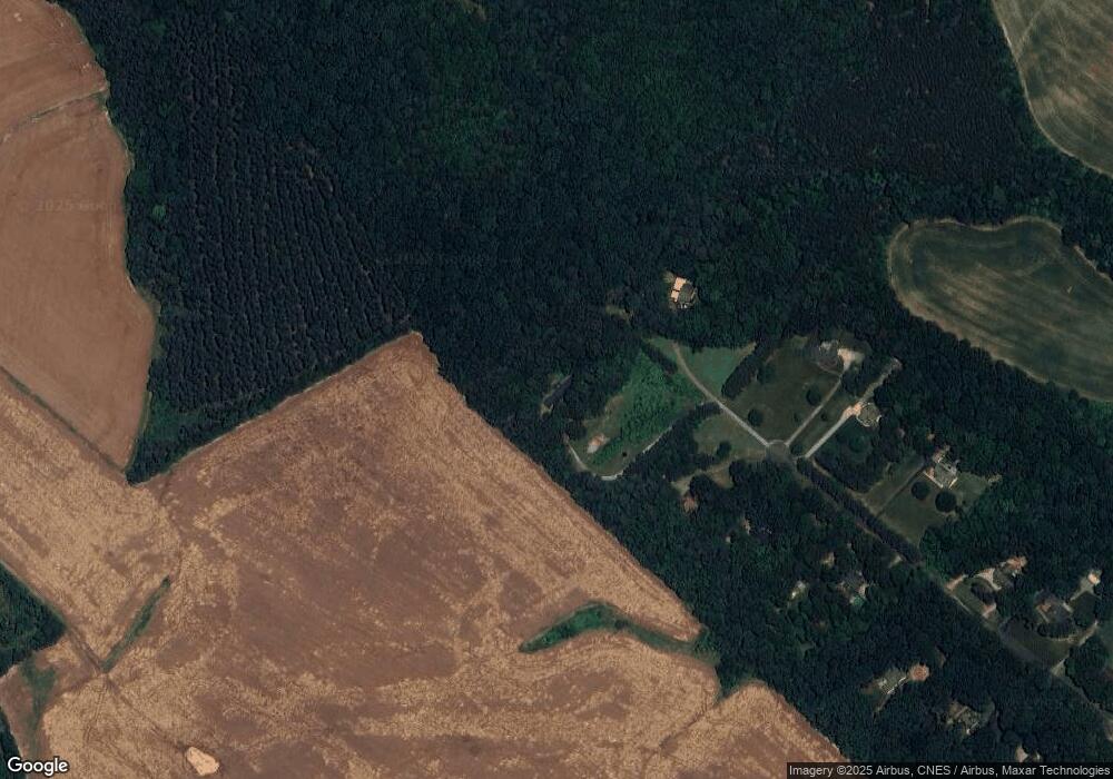
Map
Nearby Homes
- 2618 Wisteria Ln
- 2411 Plyler Mill Rd
- 2407 Plyler Mill Rd
- 1410 Augustus Rd
- 1416 Augustus Rd
- 3313 Lancaster Hwy
- 3618 Griffith Rd
- 3211 Lancaster Hwy
- 915 Ervena Ct
- Daffodil Plan at Stonemill
- Kensington Plan at Stonemill
- Townsend Plan at Stonemill
- Teton Plan at Stonemill
- 3808 Forty Acre Dr
- 3512 Oasis Dr
- 3520 Richardson Rd
- 3611 Roughedge Dr
- 3710 Roughedge Dr
- 511 Bethphage Ln
- 2601 Plyler Mill Rd
- 2410 Dellwood Dr
- 2501 Dellwood Dr
- 2401 Dellwood Dr
- Lot 42 Dellwood Dr
- 2412 Dellwood Dr
- 2412 Dellwood Dr
- 2406 Dellwood Dr
- 2419 Dellwood Dr
- 2419 Dellwood Dr Unit 42
- 2424 Dellwood Dr
- 2423 Dellwood Dr
- 2506 Dellwood Dr
- 2503 Dellwood Dr
- 2510 Dellwood Dr
- 2511 Dellwood Dr
- 2518 Dellwood Dr
- 2517 Dellwood Dr
- 2602 Dellwood Dr
- 803 Triple Oaks Rd
- 616 Heather Place