2400 Durston Rd Bozeman, MT 59718
Kirk NeighborhoodEstimated Value: $508,000 - $585,000
About This Home
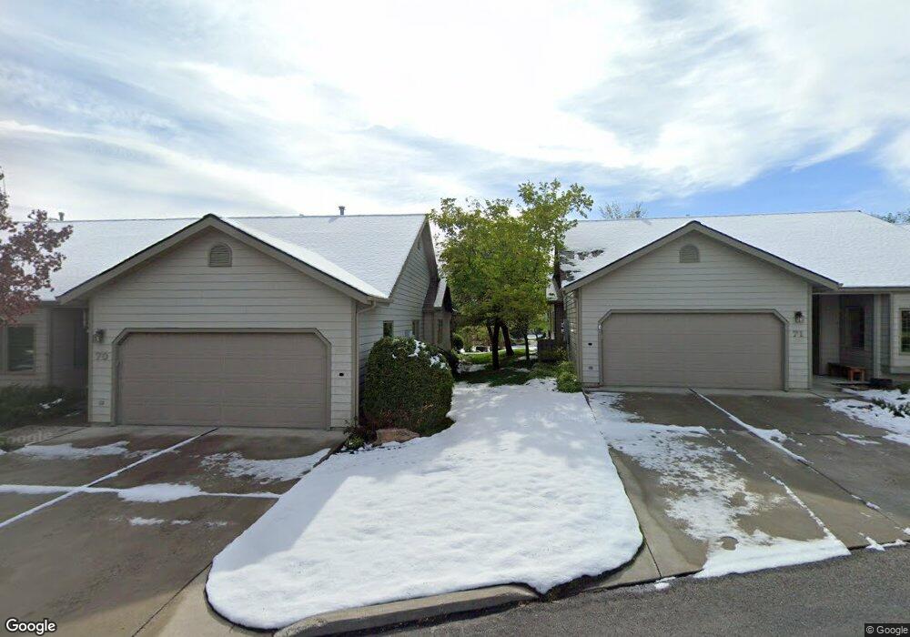
This home is located at 2400 Durston Rd, Bozeman, MT 59718 and is currently estimated at $554,247, approximately $328 per square foot. 2400 Durston Rd is a home located in Gallatin County with nearby schools including Emily Dickinson School, Chief Joseph Middle School, and Bozeman High School.
Ownership History
We collect this data history from publicly available records. To have your information removed, we recommend requesting removal directly through your county’s website.
Purchase Details
Home Financials for this Owner
Home Financials are based on the most recent Mortgage that was taken out on this home.Purchase Details
Home Financials for this Owner
Home Financials are based on the most recent Mortgage that was taken out on this home.Home Values in the Area
Average Home Value in this Area
Purchase History
We collect this data history from publicly available records. To have your information removed, we recommend requesting removal directly through your county’s website.
| Date | Buyer | Sale Price | Title Company |
|---|---|---|---|
| -- | Security Title Company | ||
| -- | Stc |
Mortgage History
We collect this data history from publicly available records. To have your information removed, we recommend requesting removal directly through your county’s website.
| Date | Status | Borrower | Loan Amount |
|---|---|---|---|
| Open | $200,000 | ||
| Previous Owner | $188,000 |
Tax History
We collect this data history from publicly available records. To have your information removed, we recommend requesting removal directly through your county’s website.
| Year | Tax Paid | Tax Assessment Tax Assessment Total Assessment is a certain percentage of the fair market value that is determined by local assessors to be the total taxable value of land and additions on the property. | Land | Improvement |
|---|---|---|---|---|
| 2025 | $2,027 | $575,600 | $0 | $0 |
| 2024 | $3,321 | $561,500 | $0 | $0 |
| 2023 | $3,670 | $627,300 | $0 | $0 |
| 2022 | $2,847 | $371,300 | $0 | $0 |
| 2021 | $3,142 | $371,300 | $0 | $0 |
| 2020 | $2,882 | $337,200 | $0 | $0 |
| 2019 | $2,948 | $337,200 | $0 | $0 |
| 2018 | $2,879 | $305,100 | $0 | $0 |
| 2017 | $2,845 | $305,100 | $0 | $0 |
| 2016 | $2,514 | $266,300 | $0 | $0 |
| 2015 | $2,517 | $266,300 | $0 | $0 |
| 2014 | $2,620 | $163,187 | $0 | $0 |
Map
- 2400 Durston Rd Unit 66
- 307 N 23rd Ave
- 308 N 23rd Ave
- 515 N 23rd Ave
- 740 Rogers Way Unit B
- 748 Rogers Way Unit A
- 748 Rogers Way Unit B
- 2473 Daffodil St
- 2115 Durston Rd Unit 13
- 2607 Snapdragon St
- 2358 W Beall St Unit 1
- 2123 Durston Rd Unit 21
- 109 Meghans Way Unit 109
- 318 & 320 N 19th
- 2519 Lily Dr
- 515 Michael Grove Ave Unit 28
- 15 Meghans Way
- 118 Michael Grove Ave
- 427 Michael Grove Ave Unit 18
- 3016 W Villard St Unit 2B
- 2400 Durston Rd
- 2400 Durston Rd
- 2400 Durston Rd
- 2400 Durston Rd
- 2400 Durston Rd
- 2400 Durston Rd
- 2400 Durston Rd
- 2400 Durston Rd
- 2400 Durston Rd
- 2400 Durston Rd
- 2400 Durston Rd
- 2400 Durston Rd
- 2400 Durston Rd
- 2400 Durston Rd
- 2400 Durston Rd
- 2400 Durston Rd
- 2400 Durston Rd
- 2400 Durston Rd
- 2400 Durston Rd
- 2400 Durston Rd
Ask me questions while you tour the home.