2400 E Michaels Rd Festus, MO 63028
Estimated Value: $333,000 - $448,278
Studio
--
Bath
7,020
Sq Ft
$55/Sq Ft
Est. Value
About This Home
This home is located at 2400 E Michaels Rd, Festus, MO 63028 and is currently estimated at $387,759, approximately $55 per square foot. 2400 E Michaels Rd is a home located in Jefferson County with nearby schools including Plattin Primary School, Telegraph Intermediate School, and Danby-Rush Tower Middle School.
Ownership History
Date
Name
Owned For
Owner Type
Purchase Details
Closed on
Jan 18, 2024
Sold by
Blanke Michael R and Blanke Mary Anne
Bought by
Blanke Michael R and Blanke Mary Anne
Current Estimated Value
Purchase Details
Closed on
May 25, 2023
Sold by
Janet E Blanke Revocable Living Trust
Bought by
Blanke Michael R
Purchase Details
Closed on
Apr 14, 1998
Sold by
Liv Blanke Janet E and Liv Raymond L Blanke Revocable
Bought by
Livin Blanke Janet E and Livin Janet E Blanke Revocable
Create a Home Valuation Report for This Property
The Home Valuation Report is an in-depth analysis detailing your home's value as well as a comparison with similar homes in the area
Purchase History
| Date | Buyer | Sale Price | Title Company |
|---|---|---|---|
| Blanke Michael R | -- | None Listed On Document | |
| Blanke Michael R | -- | None Listed On Document | |
| Livin Blanke Janet E | -- | None Available |
Source: Public Records
Tax History
| Year | Tax Paid | Tax Assessment Tax Assessment Total Assessment is a certain percentage of the fair market value that is determined by local assessors to be the total taxable value of land and additions on the property. | Land | Improvement |
|---|---|---|---|---|
| 2025 | $2,799 | $47,300 | $4,100 | $43,200 |
| 2024 | $2,799 | $43,800 | $4,100 | $39,700 |
| 2023 | $2,799 | $43,800 | $4,100 | $39,700 |
| 2022 | $2,800 | $43,800 | $4,100 | $39,700 |
| 2021 | $2,804 | $43,800 | $4,100 | $39,700 |
| 2020 | $2,581 | $39,000 | $3,700 | $35,300 |
| 2019 | $2,581 | $39,000 | $3,700 | $35,300 |
| 2018 | $2,576 | $39,000 | $3,700 | $35,300 |
| 2017 | $2,441 | $39,000 | $3,700 | $35,300 |
| 2016 | $2,208 | $35,410 | $3,710 | $31,700 |
| 2015 | $2,173 | $35,410 | $3,710 | $31,700 |
| 2013 | $2,173 | $35,400 | $3,500 | $31,900 |
Source: Public Records
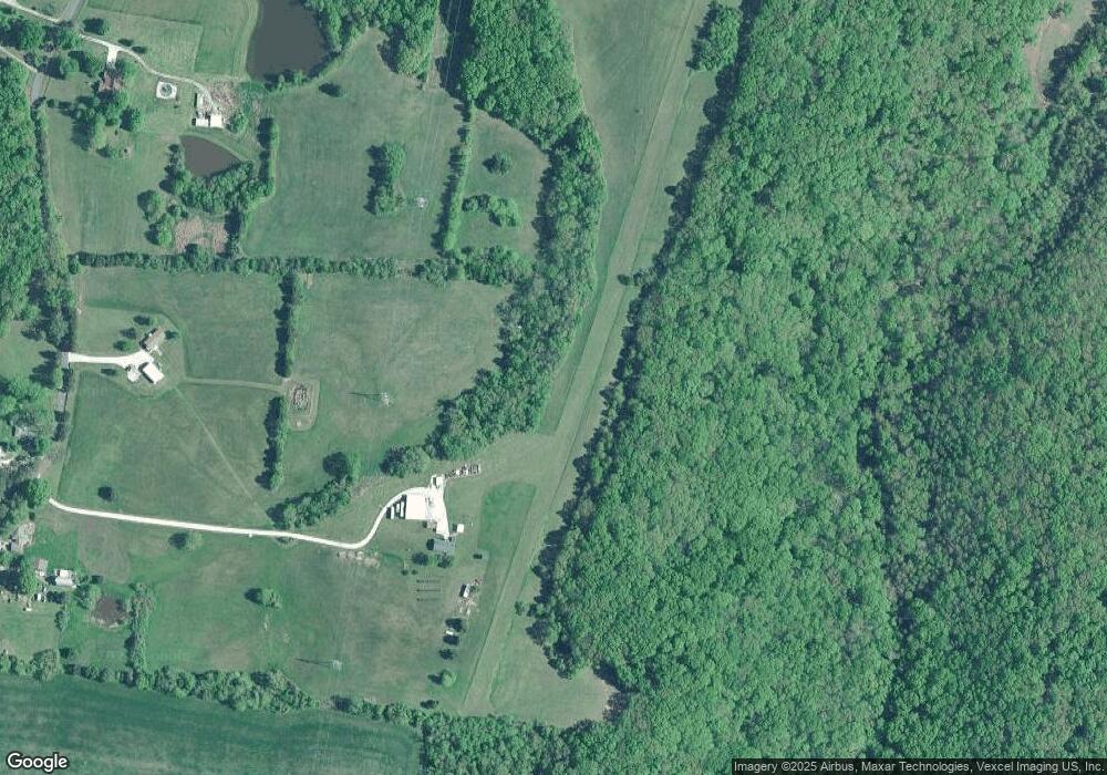
Map
Nearby Homes
- 0 Unknown Unit MIS24022702
- 0 Unknown Unit MIS25062432
- 1517 Louisiana Dr
- 2335 Wegmann Rd
- 13132 State Road Tt
- 14560 Dry Fork Rd
- 2381 Rock N Horse Dr S
- 12928 Morgans Meadow Rd
- 2179 Rock N Horse Farms Dr
- 6803 Heather Rd
- 12501 State Road Tt
- 1800 Burley Rd
- 300 Wild Creek Ct
- 1037 Wild Raven Rd
- 107 Morgan Lake Rd
- 1616 Fox Ct
- 12401 Fieldstone Dr
- 15375 State Road Dd
- 1509 Buck View
- Lot 61 S Pointe Estates
- 13302 Plattin School Rd
- 13301 Plattin School Rd
- 13200 Plattin School Rd
- 26 Oak Ridge Trail
- 21 Oak Ridge Trail
- 13396 Plattin School Rd
- 13197 Plattin School Rd
- 0 29 07 and 17 07 Acres Victoria Rd Unit 22013415
- 13402 Plattin School Rd
- 13150 Plattin School Rd
- 400 Annamere Ln
- 13013 Plattin School Rd
- 0 Harness Rd Unit 11038983
- 0 Harness Rd Unit 70142
- 0 Harness Rd Unit 9532519
- 0 Harness Rd Unit 15046681
- 343 Bridlewood Rd
- 13476 Plattin School Rd
- 348 Bridlewood Rd
- 345 Bridlewood Rd
Your Personal Tour Guide
Ask me questions while you tour the home.