Estimated Value: $661,000 - $1,127,000
4
Beds
4
Baths
4,224
Sq Ft
$212/Sq Ft
Est. Value
About This Home
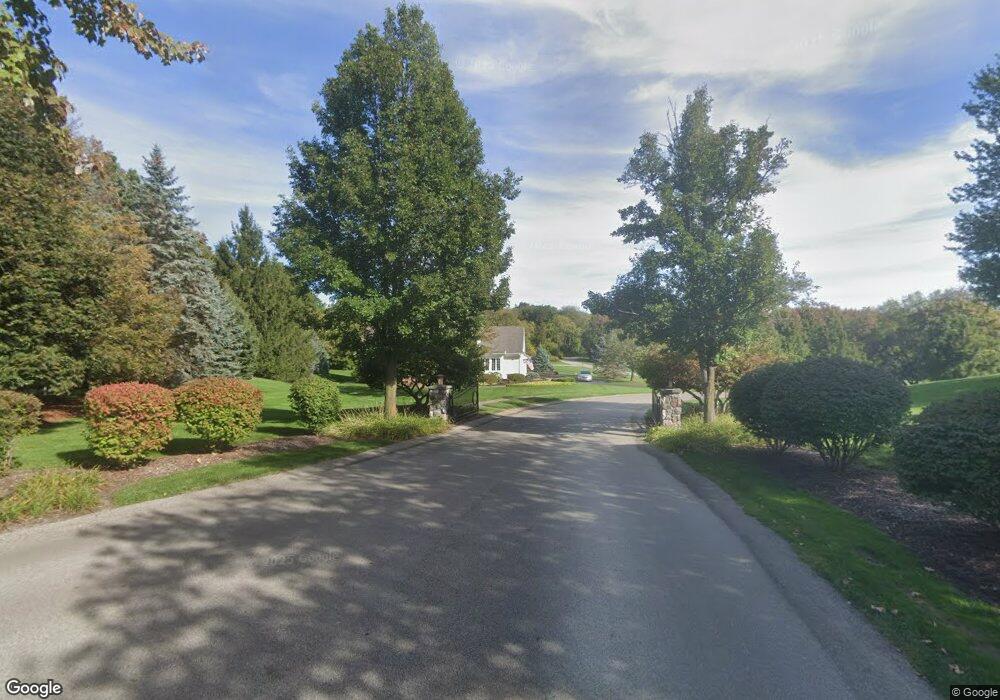
This home is located at 2400 Fair Ridge Dr NE Unit 1, Ada, MI 49301 and is currently estimated at $896,091, approximately $212 per square foot. 2400 Fair Ridge Dr NE Unit 1 is a home located in Kent County with nearby schools including Murray Lake Elementary School, Lowell Middle School, and Lowell Senior High School.
Ownership History
Date
Name
Owned For
Owner Type
Purchase Details
Closed on
May 17, 2005
Sold by
Greer George E and Greer Lynn A
Bought by
Kloostra Roger W and Kloostra Corinne C
Current Estimated Value
Purchase Details
Closed on
Jun 26, 2000
Sold by
David Henry B and David Margaret W
Bought by
Greer George E and Greer Lynn A
Create a Home Valuation Report for This Property
The Home Valuation Report is an in-depth analysis detailing your home's value as well as a comparison with similar homes in the area
Home Values in the Area
Average Home Value in this Area
Purchase History
| Date | Buyer | Sale Price | Title Company |
|---|---|---|---|
| Kloostra Roger W | $376,000 | Metropolitan Title Company | |
| Greer George E | $402,500 | -- |
Source: Public Records
Tax History Compared to Growth
Tax History
| Year | Tax Paid | Tax Assessment Tax Assessment Total Assessment is a certain percentage of the fair market value that is determined by local assessors to be the total taxable value of land and additions on the property. | Land | Improvement |
|---|---|---|---|---|
| 2025 | $5,167 | $345,200 | $0 | $0 |
| 2024 | $5,167 | $334,800 | $0 | $0 |
| 2023 | $7,511 | $309,500 | $0 | $0 |
| 2022 | $7,276 | $264,200 | $0 | $0 |
| 2021 | $6,985 | $254,300 | $0 | $0 |
| 2020 | $4,546 | $256,800 | $0 | $0 |
| 2019 | $6,043 | $243,300 | $0 | $0 |
| 2018 | $6,426 | $207,400 | $0 | $0 |
| 2017 | $6,267 | $209,500 | $0 | $0 |
| 2016 | $6,043 | $197,600 | $0 | $0 |
| 2015 | -- | $197,600 | $0 | $0 |
| 2013 | -- | $195,200 | $0 | $0 |
Source: Public Records
Map
Nearby Homes
- 3056 Egypt Valley Ave NE
- 1290 Cramton Ave NE
- 7380 Leonard St NE
- 2674 Montreux Hills Ct Unit 8
- 2782 Montreux Pointe
- 5699 Montreux Hills Dr
- 3940 Egypt Valley Ave NE
- 2264 Grand Valley Dr NE
- 742 Honey Creek
- 5925 Analise Ln NE
- 2357 Grand Valley Dr NE
- 6750 5 Mile Rd NE
- 2197 Knollpoint Dr NE
- 5814 Cannon Hills Dr NE Unit 24
- 4477 Giles Ave NE
- 8050 Wilderness Trail NE
- 7122 Hawick Ct NE
- 7160 Hawick Ct NE
- 2925 #2 Boynton Ave NE
- 2975 #4 Boynton Ave NE
- 7330 Knapp St NE
- 7345 Shelburne Ct NE
- 2415 Fair Ridge Dr NE
- 2430 Fair Ridge Dr NE
- 7260 Weathersfield Ct NE
- 7414 Knapp St NE
- 7350 Shelburne Ct NE Unit 3
- 5044 Hickory Pointe Woods SE
- 7428 Shelburne Ct NE
- 7435 Knapp St NE
- 7280 Weathersfield Ct NE Unit 27
- 2350 Fair Ridge Dr NE Unit 5
- 2280 Fair Ridge Dr NE
- 2359 Fair Ridge Dr NE
- 7266 Weathersfield Ct NE Unit 29
- 7470 Knapp St NE
- 2312 Fair Ridge Dr NE Unit 6
- 7339 Fairhaven Ct NE
- 7269 Weathersfield Ct NE
- 2281 Fair Ridge Dr NE Unit 26