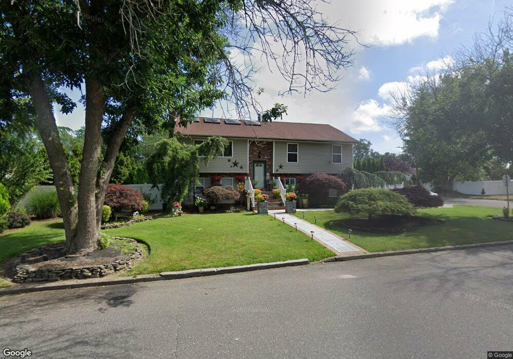
2400 Fire Ave Medford, NY 11763
Estimated Value: $526,733 - $638,000
4
Beds
1
Bath
1,092
Sq Ft
$527/Sq Ft
Est. Value
About This Home
This home is located at 2400 Fire Ave, Medford, NY 11763 and is currently estimated at $575,433, approximately $526 per square foot. 2400 Fire Ave is a home located in Suffolk County with nearby schools including Patchogue-Medford High School.
Ownership History
Date
Name
Owned For
Owner Type
Purchase Details
Closed on
Nov 18, 1999
Sold by
Quality Choice Properties Inc
Bought by
Agustin Juan and Agustin Miyerlad
Current Estimated Value
Home Financials for this Owner
Home Financials are based on the most recent Mortgage that was taken out on this home.
Original Mortgage
$145,900
Interest Rate
7.98%
Mortgage Type
FHA
Purchase Details
Closed on
Jul 16, 1999
Sold by
Williams Eileen
Bought by
Quality Choice Properties Inc
Create a Home Valuation Report for This Property
The Home Valuation Report is an in-depth analysis detailing your home's value as well as a comparison with similar homes in the area
Home Values in the Area
Average Home Value in this Area
Purchase History
| Date | Buyer | Sale Price | Title Company |
|---|---|---|---|
| Agustin Juan | $147,000 | Commonwealth Land Title Ins | |
| Quality Choice Properties Inc | $60,000 | First American Title Ins Co |
Source: Public Records
Mortgage History
| Date | Status | Borrower | Loan Amount |
|---|---|---|---|
| Previous Owner | Agustin Juan | $145,900 |
Source: Public Records
Tax History Compared to Growth
Tax History
| Year | Tax Paid | Tax Assessment Tax Assessment Total Assessment is a certain percentage of the fair market value that is determined by local assessors to be the total taxable value of land and additions on the property. | Land | Improvement |
|---|---|---|---|---|
| 2024 | $13,664 | $3,400 | $200 | $3,200 |
| 2023 | $13,664 | $3,400 | $200 | $3,200 |
| 2022 | $11,995 | $3,400 | $200 | $3,200 |
| 2021 | $11,995 | $3,400 | $200 | $3,200 |
| 2020 | $12,391 | $3,400 | $200 | $3,200 |
| 2019 | $12,391 | $0 | $0 | $0 |
| 2018 | $11,596 | $3,400 | $200 | $3,200 |
| 2017 | $11,596 | $3,400 | $200 | $3,200 |
| 2016 | $11,366 | $3,400 | $200 | $3,200 |
| 2015 | -- | $3,400 | $200 | $3,200 |
| 2014 | -- | $3,400 | $200 | $3,200 |
Source: Public Records
Map
Nearby Homes
- 2405 Fire Ave
- 3110 Kane Ave
- 3115 Heather Ave
- 3019 Sipp Ave
- 2401 Race Ave
- 3106 Devon Ave
- 0 Cedar Ln Unit ONE3556748
- 3115 Chestnut Ave
- 2909 Falcon Ave
- 1902 Race Ave
- 0 Sipp Ave Unit KEY830779
- 1600 Fire Ave
- 3004 New London Ave
- 49 Country Rd
- 21 Locust Ave S
- 2812 Sipp Ave
- 37 Lot 2 Locust Ave S
- 37 Lot 1 Locust Ave S
- 1401 Race Ave
- 2905 Beechnut Ave