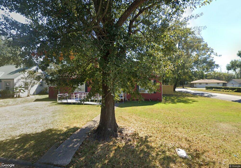
2400 Glenwood Dr Port Arthur, TX 77642
Estimated Value: $108,737 - $146,000
--
Bed
--
Bath
1,539
Sq Ft
$79/Sq Ft
Est. Value
About This Home
This home is located at 2400 Glenwood Dr, Port Arthur, TX 77642 and is currently estimated at $121,434, approximately $78 per square foot. 2400 Glenwood Dr is a home located in Jefferson County with nearby schools including Tyrrell Elementary School, Jefferson Middle School, and Memorial High School.
Ownership History
Date
Name
Owned For
Owner Type
Purchase Details
Closed on
Apr 22, 2014
Sold by
Rodriguez Esmeralda Miroslava and Sauceda Esmeralda Miroslava
Bought by
Sauceda Tomas Estrada
Current Estimated Value
Purchase Details
Closed on
Apr 23, 2010
Sold by
Christian Gene Edward and Christian Anna Beth
Bought by
Sauceda Tomas Estrada and Rodriguez Esmeralda Miroslava
Home Financials for this Owner
Home Financials are based on the most recent Mortgage that was taken out on this home.
Original Mortgage
$80,000
Interest Rate
4.32%
Mortgage Type
Seller Take Back
Create a Home Valuation Report for This Property
The Home Valuation Report is an in-depth analysis detailing your home's value as well as a comparison with similar homes in the area
Home Values in the Area
Average Home Value in this Area
Purchase History
| Date | Buyer | Sale Price | Title Company |
|---|---|---|---|
| Sauceda Tomas Estrada | -- | Attorney | |
| Sauceda Tomas Estrada | -- | None Available |
Source: Public Records
Mortgage History
| Date | Status | Borrower | Loan Amount |
|---|---|---|---|
| Closed | Sauceda Tomas Estrada | $80,000 |
Source: Public Records
Tax History Compared to Growth
Tax History
| Year | Tax Paid | Tax Assessment Tax Assessment Total Assessment is a certain percentage of the fair market value that is determined by local assessors to be the total taxable value of land and additions on the property. | Land | Improvement |
|---|---|---|---|---|
| 2025 | $1,448 | $119,059 | -- | -- |
| 2024 | $1,448 | $108,235 | -- | -- |
| 2023 | $1,448 | $98,395 | $0 | $0 |
| 2022 | $2,841 | $89,450 | $0 | $0 |
| 2021 | $2,695 | $93,222 | $6,569 | $86,653 |
| 2020 | $1,798 | $73,925 | $6,569 | $67,356 |
| 2019 | $2,151 | $67,500 | $6,570 | $60,930 |
| 2018 | $1,459 | $64,300 | $6,570 | $57,730 |
| 2017 | $1,414 | $64,300 | $6,570 | $57,730 |
| 2016 | $1,884 | $64,300 | $6,570 | $57,730 |
| 2015 | $1,525 | $64,990 | $6,570 | $58,420 |
| 2014 | $1,525 | $64,990 | $6,570 | $58,420 |
Source: Public Records
Map
Nearby Homes
- 2301 Glenwood Dr
- 2515 Glenwood Dr
- 2129 Neches Ave
- LOT 55 Royal Meadows Estate
- 4100 Dryden Rd
- 2325 Oaklawn Ave
- 2621 Evergreen Dr
- 4501 Springdale St
- 3945 12th St
- 3812 30th St
- 2323 7th Ave
- 4034 32nd St
- 1349 Jefferson Dr
- 3500 32nd St
- 3412 Drexel Ave
- 3208 29th St
- 2720 Royal Ave
- 3137 18th St
- 3132 18th St
- 3124 30th St
- 2350 Glenwood Dr
- 2412 Glenwood Dr
- 2148 Las Palmas Dr
- 2401 Glenwood Dr
- 2348 Glenwood Dr
- 2049 Oak Ave
- 2141 Las Palmas Dr
- 2407 Glenwood Dr
- 2349 Glenwood Dr
- 2424 Glenwood Dr
- 2411 Glenwood Dr
- 2045 Oak Ave
- 2125 Las Palmas Dr
- 2125 Las Palmas Dr
- 2346 Glenwood Dr
- 2347 Glenwood Dr
- 2120 Las Palmas Dr
- 2148 Snider Ave
- 2129 Oak Ave
- 2119 Las Palmas Dr