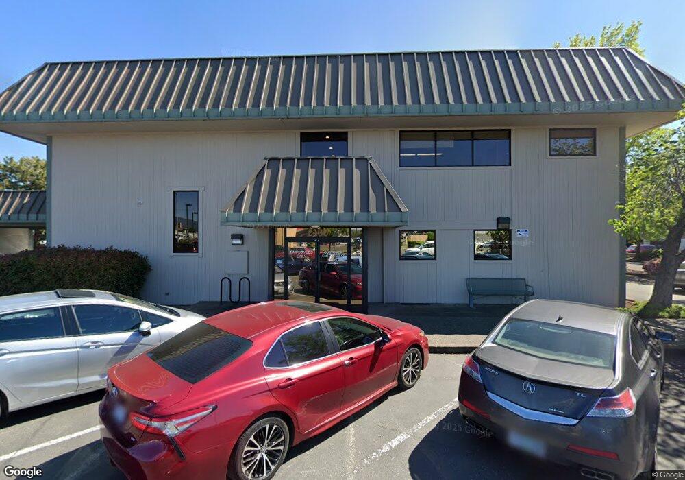
2400 Poplar Dr Medford, OR 97504
--
Bed
--
Bath
3,904
Sq Ft
0.66
Acres
About This Home
This home is located at 2400 Poplar Dr, Medford, OR 97504. 2400 Poplar Dr is a home located in Jackson County with nearby schools including Wilson Elementary School, Hedrick Middle School, and North Medford High School.
Ownership History
Date
Name
Owned For
Owner Type
Purchase Details
Closed on
May 3, 2016
Sold by
Umpqua Bank
Bought by
Dbw2 Properties Llc
Home Financials for this Owner
Home Financials are based on the most recent Mortgage that was taken out on this home.
Original Mortgage
$945,000
Outstanding Balance
$699,165
Interest Rate
3.71%
Mortgage Type
Commercial
Purchase Details
Closed on
Jan 17, 2003
Sold by
Umpqua Bank
Bought by
Department Of Transportation
Create a Home Valuation Report for This Property
The Home Valuation Report is an in-depth analysis detailing your home's value as well as a comparison with similar homes in the area
Home Values in the Area
Average Home Value in this Area
Purchase History
| Date | Buyer | Sale Price | Title Company |
|---|---|---|---|
| Dbw2 Properties Llc | $810,000 | First American | |
| Department Of Transportation | $27,300 | -- |
Source: Public Records
Mortgage History
| Date | Status | Borrower | Loan Amount |
|---|---|---|---|
| Open | Dbw2 Properties Llc | $945,000 |
Source: Public Records
Tax History Compared to Growth
Tax History
| Year | Tax Paid | Tax Assessment Tax Assessment Total Assessment is a certain percentage of the fair market value that is determined by local assessors to be the total taxable value of land and additions on the property. | Land | Improvement |
|---|---|---|---|---|
| 2025 | $18,757 | $1,279,450 | $749,130 | $530,320 |
| 2024 | $18,757 | $1,279,450 | $749,130 | $530,320 |
| 2023 | $19,571 | $1,256,210 | $735,520 | $520,690 |
| 2022 | $18,729 | $1,256,210 | $735,520 | $520,690 |
| 2021 | $18,065 | $1,207,920 | $707,240 | $500,680 |
| 2020 | $15,248 | $1,023,660 | $599,360 | $424,300 |
| 2019 | $15,531 | $1,023,660 | $599,360 | $424,300 |
| 2018 | $15,593 | $947,840 | $554,970 | $392,870 |
| 2017 | $14,458 | $947,840 | $554,970 | $392,870 |
| 2016 | $22,983 | $1,432,520 | $346,510 | $1,086,010 |
| 2015 | $22,091 | $1,432,520 | $346,510 | $1,086,010 |
| 2014 | $21,701 | $1,350,300 | $326,620 | $1,023,680 |
Source: Public Records
Map
Nearby Homes
- 2215 Poplar Dr Unit 2
- 1448 Carolyn Cir
- 1588 Nordic Ct
- 3937 Wyoming Ln
- 2541 Gould Ave
- 1202 Morrow Rd Unit A
- 1220 Morrow Rd
- 1212 Morrow Rd
- 1461 Johnson St
- 2722 American Ave
- 1924 Sky Park Dr
- 246 Reanna Way
- 2252 Table Rock Rd Unit 128
- 2252 Table Rock Rd Unit 97
- 2252 Table Rock Rd Unit SPC 102
- 2252 Table Rock Rd Unit SPC 228
- 2252 Table Rock Rd Unit SPC 100
- 2252 Table Rock Rd Unit SPC 232
- 1960 Grandview Ave
- 1543 Grand Ave
- 2540 Crater Lake Hwy
- 2370 Poplar Dr Unit 2
- 1160 Hilton Rd
- 2328 Poplar Dr
- 1420 Hilton Rd Unit 5
- 1410 Hilton Rd
- 1416 Hilton Rd
- 2362 Poplar Dr
- 1414 Hilton Rd Unit 2
- 1418 Hilton Rd
- 2358 Poplar Dr
- 2373 Jubilant Ave
- 2453 Hilton Rd
- 2365 Jubilant Ave
- 1428 Hilton Rd
- 2525 Corona Ave
- 2529 Corona Ave
- 2529 Corona Ave Unit D
- 2487 Northcrest Cir
- 2660 Bullock Rd Unit 102