Estimated Value: $253,000 - $535,000
--
Bed
2
Baths
1,152
Sq Ft
$310/Sq Ft
Est. Value
About This Home
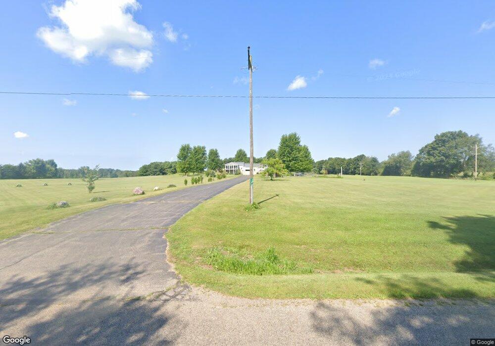
This home is located at 2400 S Allen Rd N Unit N, Allen, MI 49227 and is currently estimated at $357,619, approximately $310 per square foot. 2400 S Allen Rd N Unit N is a home located in Hillsdale County with nearby schools including Reynolds Elementary School and Reading High School.
Ownership History
Date
Name
Owned For
Owner Type
Purchase Details
Closed on
May 9, 2014
Sold by
Welch Donald
Bought by
Mears William Thomas and Mears Penny Dawn
Current Estimated Value
Home Financials for this Owner
Home Financials are based on the most recent Mortgage that was taken out on this home.
Original Mortgage
$137,362
Outstanding Balance
$104,372
Interest Rate
4.25%
Mortgage Type
FHA
Estimated Equity
$253,247
Purchase Details
Closed on
Jul 2, 1991
Sold by
Bisel Walter L and Bisel Betty
Bought by
Welch Donald
Create a Home Valuation Report for This Property
The Home Valuation Report is an in-depth analysis detailing your home's value as well as a comparison with similar homes in the area
Home Values in the Area
Average Home Value in this Area
Purchase History
| Date | Buyer | Sale Price | Title Company |
|---|---|---|---|
| Mears William Thomas | $145,000 | Midstate Title Agency | |
| Welch Donald | $10,000 | -- |
Source: Public Records
Mortgage History
| Date | Status | Borrower | Loan Amount |
|---|---|---|---|
| Open | Mears William Thomas | $137,362 |
Source: Public Records
Tax History Compared to Growth
Tax History
| Year | Tax Paid | Tax Assessment Tax Assessment Total Assessment is a certain percentage of the fair market value that is determined by local assessors to be the total taxable value of land and additions on the property. | Land | Improvement |
|---|---|---|---|---|
| 2025 | -- | $168,800 | $0 | $0 |
| 2024 | -- | $142,300 | $0 | $0 |
| 2023 | -- | $113,262 | $21,720 | $91,542 |
| 2022 | -- | $101,034 | $21,170 | $79,864 |
| 2021 | $0 | $95,222 | $16,760 | $78,462 |
| 2020 | $1,722 | $98,900 | $0 | $0 |
| 2019 | $0 | $87,011 | $18,090 | $68,921 |
| 2018 | $0 | $0 | $0 | $0 |
| 2017 | -- | $0 | $0 | $0 |
| 2016 | -- | $0 | $0 | $0 |
| 2015 | -- | $0 | $0 | $0 |
| 2013 | -- | $60,610 | $0 | $0 |
| 2012 | $629 | $57,820 | $0 | $0 |
Source: Public Records
Map
Nearby Homes
- 1631 Pierce Rd
- 2251 Hemlock Rd
- 238 Maple Rd
- 2408 Spruce Dr
- 4251 Squires Rd
- 9921 Bankers Rd
- 4300 W Bacon Rd
- 4190 Fitzpatrick Rd
- 1085 E Chicago Rd Unit B
- 1085 E Chicago Rd Unit A
- 1085 E Chicago Rd
- 0 Wildwood Rd
- 2201 S Sand Lake Rd
- 2520 S Sand Lake Rd
- 3900 W Bacon Rd
- 2298 Pondbrooke Dr
- 5160 Quackenbush Rd
- 2651 S Sand Lake Rd
- 4048 Bankers Rd
- 1741 N Bunn Rd
- 2400 S Allen Rd N
- 2360 S Allen Rd N
- 2360 S Allen Rd N
- 0 Watkins Rd Unit 4552397
- 0 Watkins Rd Unit 53010044041
- 00 Watkins Rd
- 0 Watkins Rd
- 7985 Watkins Rd
- 0 Watkins Rd Unit 10044041
- 2600 S Allen Rd N
- 2620 S Allen Rd N Unit N
- 8791 Watkins Rd
- 8433 Watkins Rd
- 2611 S Allen Rd N
- 2351 S Allen Rd N
- 2250 N South Allen Rd
- 8335 Watkins Rd
- 2250 S Allen Rd N
- 2200 S Allen Rd N Unit N
- 2251 Duck Lake Rd