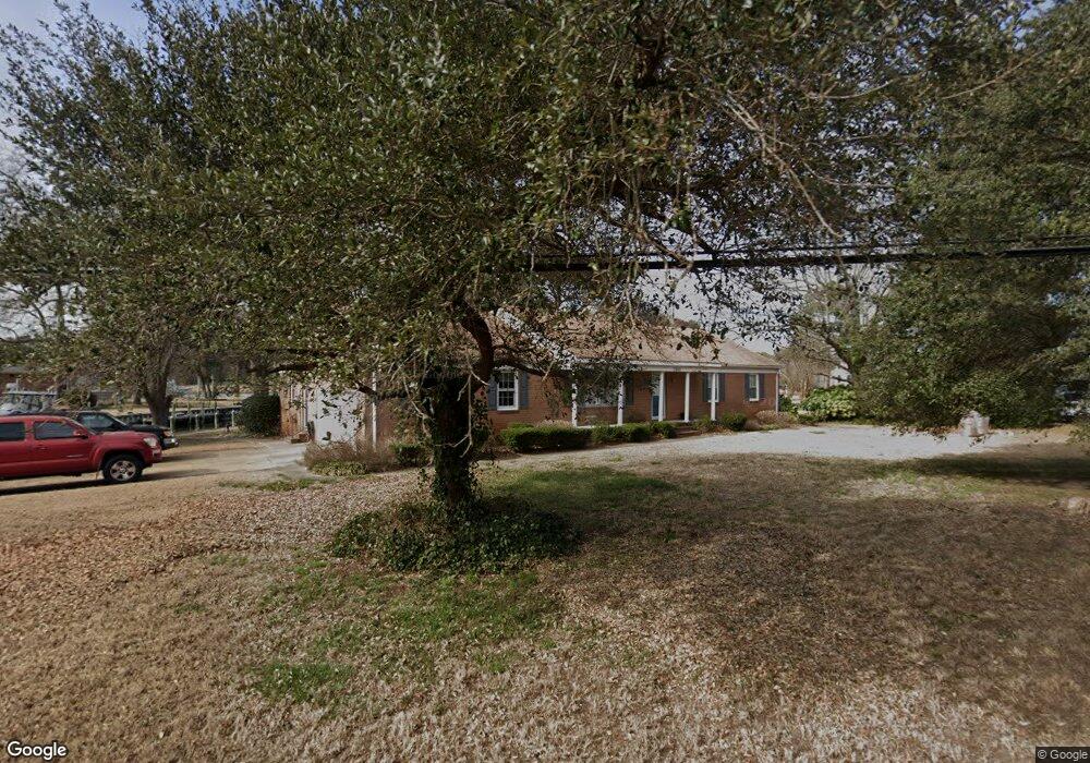
2400 Spindrift Rd Virginia Beach, VA 23451
Broad Bay Island NeighborhoodEstimated Value: $1,153,917 - $1,370,000
3
Beds
3
Baths
2,414
Sq Ft
$527/Sq Ft
Est. Value
About This Home
This home is located at 2400 Spindrift Rd, Virginia Beach, VA 23451 and is currently estimated at $1,271,229, approximately $526 per square foot. 2400 Spindrift Rd is a home located in Virginia Beach City with nearby schools including John B. Dey Elementary School, Great Neck Middle School, and Frank W. Cox High School.
Ownership History
Date
Name
Owned For
Owner Type
Purchase Details
Closed on
Nov 20, 2002
Sold by
Cummings Harry L
Bought by
Ingram Early C
Current Estimated Value
Home Financials for this Owner
Home Financials are based on the most recent Mortgage that was taken out on this home.
Original Mortgage
$290,000
Outstanding Balance
$122,004
Interest Rate
6.08%
Mortgage Type
New Conventional
Estimated Equity
$1,149,225
Create a Home Valuation Report for This Property
The Home Valuation Report is an in-depth analysis detailing your home's value as well as a comparison with similar homes in the area
Home Values in the Area
Average Home Value in this Area
Purchase History
| Date | Buyer | Sale Price | Title Company |
|---|---|---|---|
| Ingram Early C | $530,000 | -- |
Source: Public Records
Mortgage History
| Date | Status | Borrower | Loan Amount |
|---|---|---|---|
| Open | Ingram Early C | $290,000 |
Source: Public Records
Tax History Compared to Growth
Tax History
| Year | Tax Paid | Tax Assessment Tax Assessment Total Assessment is a certain percentage of the fair market value that is determined by local assessors to be the total taxable value of land and additions on the property. | Land | Improvement |
|---|---|---|---|---|
| 2025 | $8,821 | $979,200 | $740,000 | $239,200 |
| 2024 | $8,821 | $909,400 | $710,400 | $199,000 |
| 2023 | $8,672 | $876,000 | $680,800 | $195,200 |
| 2022 | $7,125 | $719,700 | $577,200 | $142,500 |
| 2021 | $6,481 | $654,600 | $525,400 | $129,200 |
| 2020 | $6,643 | $652,900 | $525,400 | $127,500 |
| 2019 | $6,680 | $616,600 | $488,400 | $128,200 |
| 2018 | $6,181 | $616,600 | $488,400 | $128,200 |
| 2017 | $5,767 | $575,300 | $451,400 | $123,900 |
| 2016 | $5,470 | $552,500 | $429,200 | $123,300 |
| 2015 | $5,156 | $520,800 | $414,400 | $106,400 |
| 2014 | $4,746 | $510,300 | $399,600 | $110,700 |
Source: Public Records
Map
Nearby Homes
- 2328 Spindrift Rd
- 2509 Lone Pine Point
- 2123 Wake Forest St
- 2581 Shore Dr
- 2637 Broad Bay Rd
- The Savannah Plan at Cape Story by The Sea - Capestory by The Sea
- The Newcastle Plan at Cape Story by The Sea - Capestory by The Sea
- 2005 Bay Rd
- 2319 Kendall St
- 2204 Sandalwood Rd
- 2323 First Landing Ln
- 2219 Oak St
- 2189 Creeks Edge Dr
- 2365 Haversham Close
- 2021 Thomas Bishop Ln
- 2264 Cape Arbor Dr
- 2508 Queens Elm Place
- 2830 Shore Dr Unit 507
- 2830 Shore Dr Unit PH1
- 2830 Shore Dr Unit 1000
- 2364 Leeward Shore Dr
- 2406 Jib Cir
- 2401 Spindrift Rd
- 2369 Leeward Shore Dr
- 2405 Spindrift Rd
- 2341 Spindrift Rd
- 2360 Leeward Shore Dr
- 2408 Jib Cir
- 2361 Leeward Shore Dr
- 2409 Spindrift Rd
- 2337 Spindrift Rd
- 2356 Leeward Shore Dr
- 2336 Spindrift Rd
- 2349 Leeward Shore Dr
- 2412 Jib Cir
- 2413 Spindrift Rd
- 2333 Spindrift Rd
- 2352 Leeward Shore Dr
- 2320 Tiller Cir
- 2345 Leeward Shore Dr