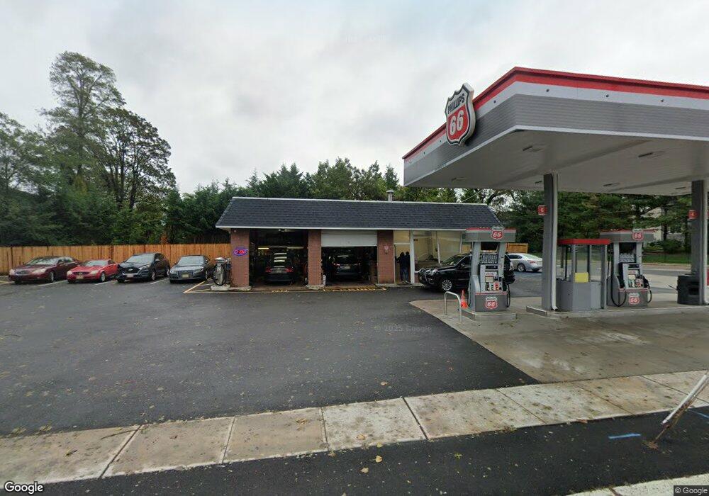
2400 State Route 71 Spring Lake, NJ 07762
Estimated Value: $1,286,000
--
Bed
--
Bath
--
Sq Ft
0.4
Acres
About This Home
This home is located at 2400 State Route 71, Spring Lake, NJ 07762 and is currently priced at $1,286,000. 2400 State Route 71 is a home with nearby schools including Spring Lake Heights Elementary School, St. Catharine School, and St Rose High School.
Ownership History
Date
Name
Owned For
Owner Type
Purchase Details
Closed on
Sep 4, 2019
Sold by
Spring Realty Llc
Bought by
Petro Realty Llc
Current Estimated Value
Home Financials for this Owner
Home Financials are based on the most recent Mortgage that was taken out on this home.
Original Mortgage
$66,000,000
Interest Rate
3.7%
Mortgage Type
Commercial
Purchase Details
Closed on
Nov 1, 2006
Sold by
Heights Petroleum Inc
Bought by
Spring Realty Llc
Home Financials for this Owner
Home Financials are based on the most recent Mortgage that was taken out on this home.
Original Mortgage
$450,000
Interest Rate
8%
Mortgage Type
Commercial
Create a Home Valuation Report for This Property
The Home Valuation Report is an in-depth analysis detailing your home's value as well as a comparison with similar homes in the area
Home Values in the Area
Average Home Value in this Area
Purchase History
| Date | Buyer | Sale Price | Title Company |
|---|---|---|---|
| Petro Realty Llc | $450,000 | Fidelity Natl Ttl Ins Llc | |
| Spring Realty Llc | $350,000 | -- |
Source: Public Records
Mortgage History
| Date | Status | Borrower | Loan Amount |
|---|---|---|---|
| Closed | Petro Realty Llc | $66,000,000 | |
| Previous Owner | Spring Realty Llc | $450,000 |
Source: Public Records
Tax History Compared to Growth
Tax History
| Year | Tax Paid | Tax Assessment Tax Assessment Total Assessment is a certain percentage of the fair market value that is determined by local assessors to be the total taxable value of land and additions on the property. | Land | Improvement |
|---|---|---|---|---|
| 2025 | $10,810 | $1,066,500 | $861,300 | $205,200 |
| 2024 | $11,034 | $1,026,600 | $822,200 | $204,400 |
| 2023 | $11,034 | $985,200 | $783,000 | $202,200 |
| 2022 | $11,764 | $949,300 | $757,900 | $191,400 |
| 2021 | $11,764 | $871,400 | $689,000 | $182,400 |
| 2020 | $11,786 | $867,900 | $689,000 | $178,900 |
| 2019 | $11,861 | $864,500 | $689,000 | $175,500 |
| 2018 | $12,050 | $854,600 | $689,000 | $165,600 |
| 2017 | $11,610 | $853,700 | $689,000 | $164,700 |
| 2016 | $11,282 | $819,300 | $654,600 | $164,700 |
| 2015 | $10,775 | $784,800 | $620,100 | $164,700 |
| 2014 | $10,540 | $784,800 | $620,100 | $164,700 |
Source: Public Records
Map
Nearby Homes
- 1027 2nd Ave
- 15 Wyckham Rd
- 12 Wyckham Rd
- 737 20th Ave
- 1813 Margerum Ave
- 1905 3rd Ave
- 905 Wall Rd
- 204 Monroe Ave
- 708 18th Ave
- 1012 Glenn St
- 1014 Glenn St
- 1211 18th Ave
- 2419 Kipling Ave
- 1825 Pine Terrace
- 1024 17th Ave
- 1704 Grove St
- 1800-1802 Pine Terrace
- 1807-1809 Laurel Terrace
- 1838 Highway 35 Unit 36
- 923 Woodland Ave