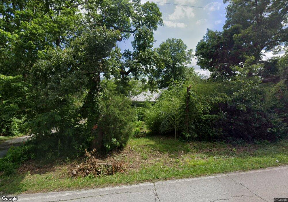
2400 W Oak St Carthage, MO 64836
Estimated Value: $128,529 - $195,000
3
Beds
1
Bath
1,271
Sq Ft
$127/Sq Ft
Est. Value
About This Home
This home is located at 2400 W Oak St, Carthage, MO 64836 and is currently estimated at $161,765, approximately $127 per square foot. 2400 W Oak St is a home located in Jasper County with nearby schools including Victory Academy and St. Ann's Catholic School.
Ownership History
Date
Name
Owned For
Owner Type
Purchase Details
Closed on
Jul 8, 2024
Sold by
Shields Wyatt and Shields Jessica
Bought by
Maxim Rental Properties Llc
Current Estimated Value
Purchase Details
Closed on
Nov 4, 2014
Sold by
Cory Nick and Cory Nova
Bought by
Cory Nick
Purchase Details
Closed on
Apr 11, 2014
Sold by
Cory Nick
Bought by
Cory Nick and Cory Nova
Purchase Details
Closed on
Jun 15, 2011
Sold by
Cory Nick and Cory Jaime E
Bought by
Cory Nick
Create a Home Valuation Report for This Property
The Home Valuation Report is an in-depth analysis detailing your home's value as well as a comparison with similar homes in the area
Home Values in the Area
Average Home Value in this Area
Purchase History
| Date | Buyer | Sale Price | Title Company |
|---|---|---|---|
| Maxim Rental Properties Llc | -- | None Listed On Document | |
| Cory Nick | -- | None Available | |
| Cory Nick | -- | None Available | |
| Cory Nick | -- | Cb Title | |
| Cory Nick | -- | Cb Title | |
| Cory Nick | -- | Cb Title |
Source: Public Records
Tax History Compared to Growth
Tax History
| Year | Tax Paid | Tax Assessment Tax Assessment Total Assessment is a certain percentage of the fair market value that is determined by local assessors to be the total taxable value of land and additions on the property. | Land | Improvement |
|---|---|---|---|---|
| 2025 | $520 | $12,310 | $2,390 | $9,920 |
| 2024 | $520 | $11,120 | $2,390 | $8,730 |
| 2023 | $520 | $11,120 | $2,390 | $8,730 |
| 2022 | $513 | $11,010 | $2,390 | $8,620 |
| 2021 | $507 | $11,010 | $2,390 | $8,620 |
| 2020 | $510 | $10,630 | $2,390 | $8,240 |
| 2019 | $511 | $10,630 | $2,390 | $8,240 |
| 2018 | $562 | $11,720 | $0 | $0 |
| 2017 | $552 | $11,480 | $0 | $0 |
| 2016 | $550 | $11,480 | $0 | $0 |
| 2015 | $551 | $11,480 | $0 | $0 |
| 2014 | $551 | $11,480 | $0 | $0 |
Source: Public Records
Map
Nearby Homes
- 16549 Inca Rd
- 16537 Isis Rd
- 8633 County Lane 168
- 7976 County Lane 166
- 1019 Hawthorne St
- Tbd S Country Club Rd
- 1615 W Budlong St
- 2012 Beau Dr
- Lot 3 2nd Addition (Piper Dr) Unit 3
- Lot 3 2nd Addition (Piper)
- 1516 Alexandra Dr
- 2000 Amber Ln
- 1641 Alexandra Dr
- 16448 Jackpine Rd
- 2038 W Trolley Car Ln
- 1422 W Macon St
- 1210 Walnut St
- 000 County Lane 175
- 1704 Liam St
- 17546 State Highway 96
- 2418 W Oak St
- 2380 W Oak St
- 2413 W Oak St
- 2439 W Oak St
- 2358 W Oak St
- 2344 W Oak St
- 2445 W Oak St
- 2349 W Oak St
- 2466 W Oak St
- 8586 County Lane 164
- 5854 County Ln 164 340 97 M L Acres Ln
- 5854 County Ln 164 640 M L Acres Ln
- 5854 County Ln 164 220 M L Acres Ln
- 5854 County Ln 164 40 M L Acres
- 5854 County Lane 164
- 5854 County Lane 164 Unit Tract 12
- 5854 County Lane 164 Unit Tract 2
- 5854 County Lane 164 Unit Tract 11
- 5854 County Lane 164 Unit Tract 10
- 5854 County Lane 164 Unit Tract 8