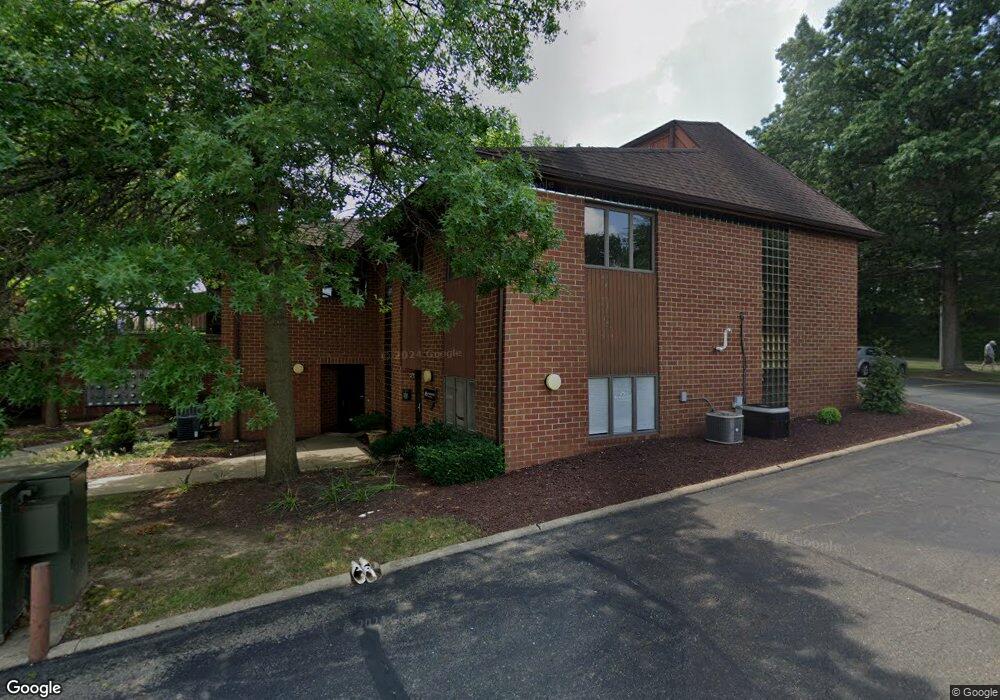
2400 Wales Ave NW Unit F Massillon, OH 44646
Amherst Heights-Clearview NeighborhoodEstimated Value: $116,042
--
Bed
2
Baths
1,080
Sq Ft
$107/Sq Ft
Est. Value
About This Home
This home is located at 2400 Wales Ave NW Unit F, Massillon, OH 44646 and is currently estimated at $116,042, approximately $107 per square foot. 2400 Wales Ave NW Unit F is a home located in Stark County with nearby schools including Amherst Elementary School, Jackson Memorial Middle School, and Jackson High School.
Ownership History
Date
Name
Owned For
Owner Type
Purchase Details
Closed on
May 30, 2023
Sold by
Glb Family Partnership Llc
Bought by
Harding And Pelser Real Estate Management Llc
Current Estimated Value
Purchase Details
Closed on
Nov 5, 2013
Sold by
Mustafaga Amy Louise
Bought by
Glb Family Partnership Llc
Create a Home Valuation Report for This Property
The Home Valuation Report is an in-depth analysis detailing your home's value as well as a comparison with similar homes in the area
Home Values in the Area
Average Home Value in this Area
Purchase History
| Date | Buyer | Sale Price | Title Company |
|---|---|---|---|
| Harding And Pelser Real Estate Management Llc | $95,000 | None Listed On Document | |
| Glb Family Partnership Llc | $100,000 | None Available |
Source: Public Records
Tax History Compared to Growth
Tax History
| Year | Tax Paid | Tax Assessment Tax Assessment Total Assessment is a certain percentage of the fair market value that is determined by local assessors to be the total taxable value of land and additions on the property. | Land | Improvement |
|---|---|---|---|---|
| 2025 | -- | $36,020 | $5,010 | $31,010 |
| 2024 | -- | $36,020 | $5,010 | $31,010 |
| 2023 | $1,953 | $32,730 | $4,550 | $28,180 |
| 2022 | $1,895 | $32,730 | $4,550 | $28,180 |
| 2021 | $1,887 | $32,730 | $4,550 | $28,180 |
| 2020 | $1,883 | $31,190 | $4,340 | $26,850 |
| 2019 | $1,850 | $31,200 | $4,340 | $26,860 |
| 2018 | $1,869 | $31,200 | $4,340 | $26,860 |
| 2017 | $1,736 | $26,510 | $3,150 | $23,360 |
| 2016 | $1,726 | $26,510 | $3,150 | $23,360 |
| 2015 | $1,745 | $26,510 | $3,150 | $23,360 |
| 2014 | $1,682 | $24,580 | $2,940 | $21,640 |
| 2013 | $828 | $24,580 | $2,940 | $21,640 |
Source: Public Records
Map
Nearby Homes
- 2866 Carie Hill Cir NW
- 1267 Plymouth St NW
- 3252 Stahl Ave NW
- 3410 Wales Ave NW
- 0 Wildridge Rd NW Unit 36853475
- 1204 Taggart St NW
- 3315 Broadhaven Ave NW
- 1056 Taggart St NW
- 7604 Greenview Ave NW
- 7770 Hills And Dales Rd NW
- 8445 Stuhldreher St NW
- 3536 Oxford Ave NW
- 8625 Milmont St NW
- 710 Leecrest St NW
- 1026 Beverly Rd NE
- 1717 Chittenden Cir NE
- 1850 Amherst Rd NE
- 8484 Traphagen St NW
- 3587 Marys Way Ave NW
- Lot 38 Joyce Ave NW
- 2400 Wales Ave NW Unit J
- 2400 Wales Ave NW Unit H
- 2400 Wales Ave NW Unit C
- 2400 Wales Ave NW Unit B
- 2400 Wales Ave NW Unit A
- 2400 Wales Ave NW Unit K
- 2400 Wales Ave NW Unit C & D
- 3077 Carie Hill Cir NW
- 2401 Wales Ave NW
- 3095 Carie Hill Cir NW
- 2417 Wales Ave NW
- 3115 Carie Hill Cir NW
- 2427 Wales Ave NW
- 2327 Wales Ave NW
- 3041 Carie Hill Cir NW
- 2300 Wales Ave NW
- 2321 Wales Ave NW
- 3127 Carie Hill Cir NW
- 3017 Carie Hill Cir NW
- 2313 Wales Ave NW