2400 Ward Rd Bozeman, MT 59718
Estimated Value: $1,051,000 - $2,274,000
5
Beds
5
Baths
3,808
Sq Ft
$395/Sq Ft
Est. Value
About This Home
This home is located at 2400 Ward Rd, Bozeman, MT 59718 and is currently estimated at $1,504,841, approximately $395 per square foot. 2400 Ward Rd is a home located in Gallatin County with nearby schools including Meadowlark Elementary School, Chief Joseph Middle School, and Gallatin High School.
Ownership History
Date
Name
Owned For
Owner Type
Purchase Details
Closed on
Jan 30, 2026
Sold by
Vandyken Crystal L and Vandyken Van Dyken
Bought by
Blue Mesa Properties 1 Llc
Current Estimated Value
Purchase Details
Closed on
Dec 30, 2024
Sold by
Lea Jason
Bought by
Blue Mesa Properties 1 Llc
Purchase Details
Closed on
Feb 18, 2005
Sold by
Briggs Charles William and Briggs Charles W
Bought by
Lea Jason
Home Financials for this Owner
Home Financials are based on the most recent Mortgage that was taken out on this home.
Original Mortgage
$454,749
Interest Rate
5.65%
Mortgage Type
Purchase Money Mortgage
Create a Home Valuation Report for This Property
The Home Valuation Report is an in-depth analysis detailing your home's value as well as a comparison with similar homes in the area
Purchase History
| Date | Buyer | Sale Price | Title Company |
|---|---|---|---|
| Blue Mesa Properties 1 Llc | -- | Security Title | |
| Blue Mesa Properties 1 Llc | -- | Security Title | |
| Lea Jason | -- | Stc |
Source: Public Records
Mortgage History
| Date | Status | Borrower | Loan Amount |
|---|---|---|---|
| Previous Owner | Lea Jason | $454,749 |
Source: Public Records
Tax History
| Year | Tax Paid | Tax Assessment Tax Assessment Total Assessment is a certain percentage of the fair market value that is determined by local assessors to be the total taxable value of land and additions on the property. | Land | Improvement |
|---|---|---|---|---|
| 2025 | $3,437 | $821,439 | $0 | $0 |
| 2024 | $4,207 | $723,768 | $0 | $0 |
| 2023 | $4,055 | $723,768 | $0 | $0 |
| 2022 | $3,263 | $442,950 | $0 | $0 |
| 2021 | $3,623 | $442,950 | $0 | $0 |
| 2020 | $3,437 | $416,123 | $0 | $0 |
| 2019 | $3,383 | $416,123 | $0 | $0 |
| 2018 | $3,243 | $359,186 | $0 | $0 |
| 2017 | $3,105 | $359,186 | $0 | $0 |
| 2016 | $2,801 | $318,027 | $0 | $0 |
| 2015 | $2,793 | $318,027 | $0 | $0 |
| 2014 | $2,826 | $182,585 | $0 | $0 |
Source: Public Records
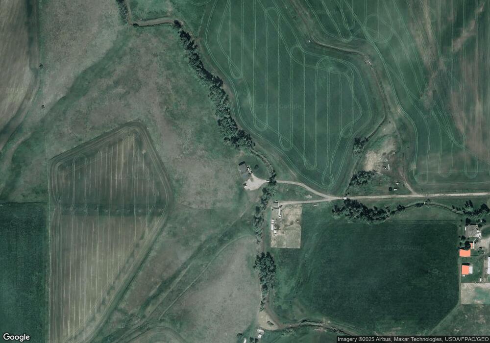
Map
Nearby Homes
- Lot 5 River Rd
- 9200 River Rd
- 101 Milky Way Dr
- 106 Milky Way Dr
- 9 Voyager Ln
- 817 Milky Way Dr Unit B
- TBD River Rd
- 325 Cedar Wood Cir
- 311 Cedar Wood Cir
- 103 Depot Dr
- 9848 Durston Unit A
- 13 Boxcar Ln
- 26 Locomotive Loop
- 223 New Ventures Dr Unit E
- 247 New Ventures Dr Unit B
- 18 Caboose Ct Unit B
- 34 Caboose Ct Unit C
- 884 Quail Run Rd Unit 884A
- 26 Yoseph St Unit 80
- 124 Yoseph St Unit 85
Your Personal Tour Guide
Ask me questions while you tour the home.