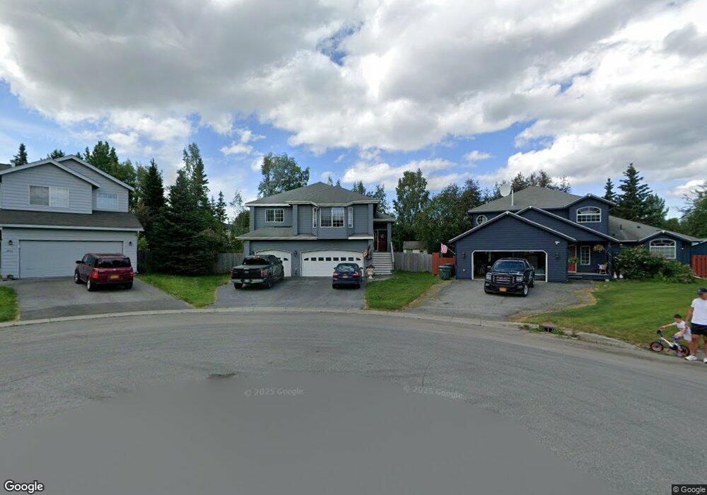
2400 Wintercrest Cir Anchorage, AK 99516
Huffman-O'Malley NeighborhoodEstimated Value: $507,000 - $632,719
4
Beds
3
Baths
2,618
Sq Ft
$225/Sq Ft
Est. Value
About This Home
This home is located at 2400 Wintercrest Cir, Anchorage, AK 99516 and is currently estimated at $589,906, approximately $225 per square foot. 2400 Wintercrest Cir is a home located in Anchorage Municipality with nearby schools including Bowman Elementary School, Hanshew Middle School, and Service High School.
Ownership History
Date
Name
Owned For
Owner Type
Purchase Details
Closed on
Dec 16, 2005
Sold by
Vanwaggoner Kenneth and Waggoner Marjorie R
Bought by
Brookover Thomas E and Brookover Kari M
Current Estimated Value
Home Financials for this Owner
Home Financials are based on the most recent Mortgage that was taken out on this home.
Original Mortgage
$320,000
Outstanding Balance
$179,680
Interest Rate
6.35%
Mortgage Type
Purchase Money Mortgage
Estimated Equity
$410,226
Create a Home Valuation Report for This Property
The Home Valuation Report is an in-depth analysis detailing your home's value as well as a comparison with similar homes in the area
Home Values in the Area
Average Home Value in this Area
Purchase History
| Date | Buyer | Sale Price | Title Company |
|---|---|---|---|
| Brookover Thomas E | -- | First American Title Ins Co |
Source: Public Records
Mortgage History
| Date | Status | Borrower | Loan Amount |
|---|---|---|---|
| Open | Brookover Thomas E | $320,000 |
Source: Public Records
Tax History Compared to Growth
Tax History
| Year | Tax Paid | Tax Assessment Tax Assessment Total Assessment is a certain percentage of the fair market value that is determined by local assessors to be the total taxable value of land and additions on the property. | Land | Improvement |
|---|---|---|---|---|
| 2025 | $7,438 | $553,800 | $133,800 | $420,000 |
| 2024 | $7,438 | $535,700 | $133,800 | $401,900 |
| 2023 | $8,508 | $499,600 | $133,800 | $365,800 |
| 2022 | $7,165 | $475,500 | $133,800 | $341,700 |
| 2021 | $8,059 | $447,200 | $133,800 | $313,400 |
| 2020 | $6,484 | $431,700 | $133,800 | $297,900 |
| 2019 | $6,184 | $428,000 | $133,800 | $294,200 |
| 2018 | $6,924 | $422,200 | $133,800 | $288,400 |
| 2017 | $6,718 | $429,000 | $133,800 | $295,200 |
| 2016 | $6,043 | $446,100 | $133,800 | $312,300 |
| 2015 | $6,043 | $431,600 | $133,800 | $297,800 |
| 2014 | $6,043 | $406,000 | $120,000 | $286,000 |
Source: Public Records
Map
Nearby Homes
- 2521 Winterchase Cir
- 12283 Timberwood Cir
- 2048 Meander Dr
- 1677 Circlewood Dr
- 12241 Gander St
- 3025 Huffman Rd
- 2735 Meadow Wood Cir
- 2020 Steeple Dr
- 2701 Kempton Hills Dr
- 000 Wagner St
- 12101 Wagner St
- 11335 Tulin Park Loop
- 11359 Tulin Park Loop
- 13105 Stephenson St
- 2640 E 112th Ave
- 3040 Chesapeake Cir
- 11135 Red Sky Cir
- 11483 Moonrise Ridge Place Unit 10
- 11418 Moonrise Ridge Place Unit 19
- 12496 Silver Fox Ln Unit 6
- 2410 Wintercrest Cir
- 2401 Wintercrest Cir
- 12233 Woodward Dr
- 12243 Woodward Dr
- 12223 Woodward Dr
- 2411 Winterchase Cir
- 12253 Woodward Dr
- 2420 Wintercrest Cir
- 2421 Winterchase Cir
- 2411 Wintercrest Cir
- 12213 Woodward Dr
- 12303 Woodward Dr
- 2421 Wintercrest Cir
- 12203 Woodward Dr
- 2431 Winterchase Cir
- 12313 Woodward Dr
- 2430 Wintercrest Cir
- 2410 Copperwood Dr
- 2401 Winterchase Cir
- 2400 Copperwood Dr