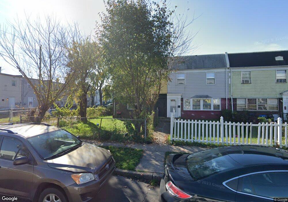
2401 Bloomsdale Rd Levittown, PA 19057
Estimated Value: $120,000 - $244,000
3
Beds
2
Baths
1,200
Sq Ft
$158/Sq Ft
Est. Value
About This Home
This home is located at 2401 Bloomsdale Rd, Levittown, PA 19057 and is currently estimated at $189,838, approximately $158 per square foot. 2401 Bloomsdale Rd is a home located in Bucks County with nearby schools including Truman Senior High School, First Presbyterian Church School, and Hope Lutheran School.
Ownership History
Date
Name
Owned For
Owner Type
Purchase Details
Closed on
Dec 5, 2017
Sold by
Wilmington Savings Fund Society Fsb
Bought by
Har Properties Llc
Current Estimated Value
Purchase Details
Closed on
May 12, 2017
Sold by
Malson Sharon and Malson Perry
Bought by
Wilmington Savings Fund Society and Christiana Trust
Purchase Details
Closed on
Oct 14, 2004
Sold by
Malson Sharon
Bought by
Malson Sharon and Malson Perry
Purchase Details
Closed on
Jan 10, 1967
Bought by
Malson Joseph K and Malson Betty L
Create a Home Valuation Report for This Property
The Home Valuation Report is an in-depth analysis detailing your home's value as well as a comparison with similar homes in the area
Home Values in the Area
Average Home Value in this Area
Purchase History
| Date | Buyer | Sale Price | Title Company |
|---|---|---|---|
| Har Properties Llc | $31,000 | None Available | |
| Wilmington Savings Fund Society | -- | None Available | |
| Malson Sharon | -- | -- | |
| Malson Joseph K | -- | -- |
Source: Public Records
Tax History Compared to Growth
Tax History
| Year | Tax Paid | Tax Assessment Tax Assessment Total Assessment is a certain percentage of the fair market value that is determined by local assessors to be the total taxable value of land and additions on the property. | Land | Improvement |
|---|---|---|---|---|
| 2025 | $1,597 | $5,880 | $1,920 | $3,960 |
| 2024 | $1,597 | $5,880 | $1,920 | $3,960 |
| 2023 | $1,585 | $5,880 | $1,920 | $3,960 |
| 2022 | $1,585 | $5,880 | $1,920 | $3,960 |
| 2021 | $1,585 | $5,880 | $1,920 | $3,960 |
| 2020 | $1,585 | $5,880 | $1,920 | $3,960 |
| 2019 | $1,579 | $5,880 | $1,920 | $3,960 |
| 2018 | $1,554 | $5,880 | $1,920 | $3,960 |
| 2017 | $1,530 | $5,880 | $1,920 | $3,960 |
| 2016 | $1,530 | $5,880 | $1,920 | $3,960 |
| 2015 | $1,187 | $5,880 | $1,920 | $3,960 |
| 2014 | $1,187 | $5,880 | $1,920 | $3,960 |
Source: Public Records
Map
Nearby Homes
- 2205 Liberator St
- 5604 Fleetwing Dr
- 1019 Green Ln
- 5617 Beaver Dam Rd
- 86 Wildflower Rd
- 1201 Pacific Ave
- 150 Naomi Ct Unit 811
- 5 Green Ln
- 84 Whitewood Dr
- 55 Cedar Ln
- 35 Cedar Ln
- 86 Cedar Ln
- 5605 Toga St
- 5517 Schumacher Dr
- 38 Violet Rd
- 2519 Woodlawn Dr
- 28 Old Pond Rd
- 101 Idlewild Rd
- 24 Grapevine Rd
- 23 Misty Pine Rd
- 2403 Bloomsdale Rd
- 2407 Bloomsdale Rd
- 2405 Bloomsdale Rd
- 2409 Bloomsdale Rd
- 5815 Mitchell Rd
- 5811 Mitchell Rd
- 5813 Mitchell Rd
- 2400 Airacobra St
- 2402 Airacobra St
- 2411 Bloomsdale Rd
- 2404 Airacobra St
- 2406 Airacobra St
- 5807 Mitchell Rd
- 5805 Mitchell Rd
- 2408 Airacobra St
- 2413 Bloomsdale Rd
- 2415 Bloomsdale Rd
- 2410 Airacobra St
- 5803 Mitchell Rd
- 5801 Mitchell Rd