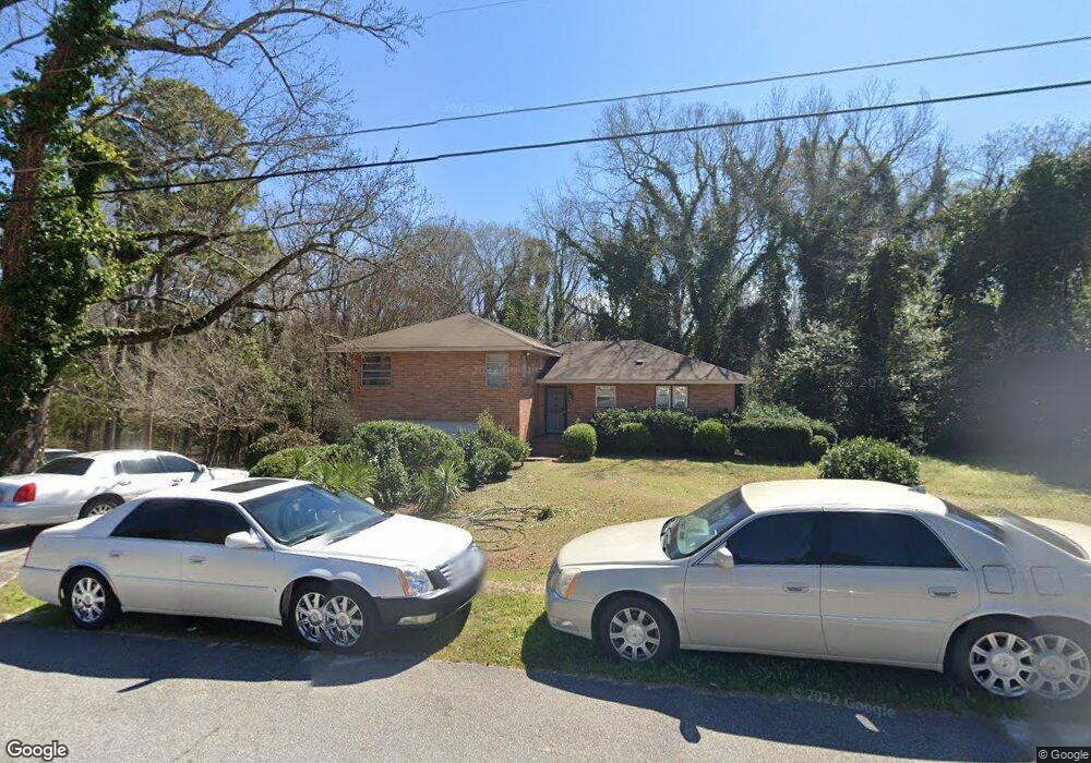
2401 Bristol Dr Macon, GA 31217
Estimated Value: $98,000 - $154,155
3
Beds
3
Baths
1,906
Sq Ft
$66/Sq Ft
Est. Value
About This Home
This home is located at 2401 Bristol Dr, Macon, GA 31217 and is currently estimated at $125,789, approximately $65 per square foot. 2401 Bristol Dr is a home located in Bibb County with nearby schools including Martin Luther King Jr. Elementary School, Appling Middle School, and Northeast High School.
Ownership History
Date
Name
Owned For
Owner Type
Purchase Details
Closed on
Jul 29, 2005
Sold by
Barker Mitchell Brenda E and Mitchell Johnny Edward
Bought by
Stephens Gregory B
Current Estimated Value
Home Financials for this Owner
Home Financials are based on the most recent Mortgage that was taken out on this home.
Original Mortgage
$110,322
Outstanding Balance
$56,963
Interest Rate
5.59%
Mortgage Type
VA
Estimated Equity
$68,826
Purchase Details
Closed on
Apr 7, 2005
Create a Home Valuation Report for This Property
The Home Valuation Report is an in-depth analysis detailing your home's value as well as a comparison with similar homes in the area
Purchase History
| Date | Buyer | Sale Price | Title Company |
|---|---|---|---|
| Stephens Gregory B | $108,000 | None Available | |
| -- | -- | -- |
Source: Public Records
Mortgage History
| Date | Status | Borrower | Loan Amount |
|---|---|---|---|
| Open | Stephens Gregory B | $110,322 |
Source: Public Records
Tax History
| Year | Tax Paid | Tax Assessment Tax Assessment Total Assessment is a certain percentage of the fair market value that is determined by local assessors to be the total taxable value of land and additions on the property. | Land | Improvement |
|---|---|---|---|---|
| 2025 | $1,292 | $59,595 | $3,960 | $55,635 |
| 2024 | $1,336 | $59,595 | $3,960 | $55,635 |
| 2023 | $879 | $59,595 | $3,960 | $55,635 |
| 2022 | $1,263 | $43,492 | $2,684 | $40,808 |
| 2021 | $957 | $32,177 | $1,789 | $30,388 |
| 2020 | $386 | $16,939 | $1,491 | $15,448 |
| 2019 | $389 | $16,939 | $1,491 | $15,448 |
| 2018 | $776 | $16,939 | $1,491 | $15,448 |
| 2017 | $372 | $16,939 | $1,491 | $15,448 |
| 2016 | $344 | $16,938 | $1,491 | $15,448 |
| 2015 | $511 | $17,435 | $1,988 | $15,448 |
| 2014 | $695 | $18,429 | $2,982 | $15,448 |
Source: Public Records
Map
Nearby Homes
- 2229 New Clinton Rd
- 2675 Andy Dr
- 2285 New Clinton Rd
- 896 Roseview Dr
- 2740 Millerfield Rd
- 2161 Melton Ave
- 973 Irving Dr
- 964 Irving Dr
- 2361 Ollie Dr
- 2720 Jordan Ave
- 2066 Melton Ave
- 2792 Jordan Ave
- 2877 Wilkes Ct
- 1977 Thomas Dr
- 837 Artic Cir
- 4436 Jeffersonville Rd
- 2954 Tyler Place
- 3009 Millerfield Rd
- 3020 Millerfield Rd
- 3020 Millersfield Rd
- 2387 Bristol Dr
- 2413 Bristol Dr
- 2381 Bristol Dr
- 2400 Bristol Dr
- 2419 Bristol Dr
- 2410 Bristol Dr
- 2386 Bristol Dr
- 2375 Bristol Dr
- 405 Bray Ct
- 2420 Bristol Dr
- 2378 Bristol Dr
- 2425 Bristol Dr
- 408 Bray Ct
- 2369 Bristol Dr
- 2372 Bristol Dr
- 2430 Bristol Dr
- 2431 Bristol Dr
- 2366 Bristol Dr
- 2363 Bristol Dr
- 202 Bradstone Cir
Your Personal Tour Guide
Ask me questions while you tour the home.