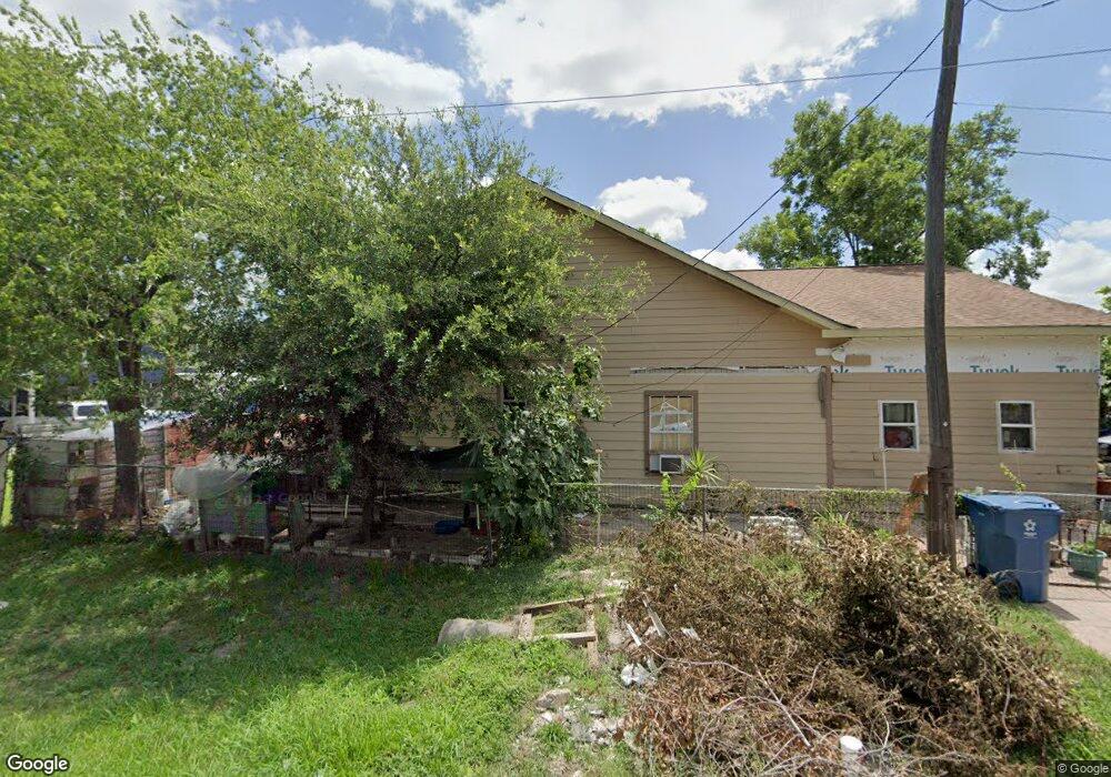
2401 Kowis St Houston, TX 77093
East Aldine NeighborhoodEstimated Value: $204,000 - $255,000
3
Beds
2
Baths
4,354
Sq Ft
$51/Sq Ft
Est. Value
About This Home
This home is located at 2401 Kowis St, Houston, TX 77093 and is currently estimated at $219,994, approximately $50 per square foot. 2401 Kowis St is a home located in Harris County with nearby schools including Scarborough Elementary School, Patrick Henry Middle School, and Sam Houston Math, Science & Technology Center.
Ownership History
Date
Name
Owned For
Owner Type
Purchase Details
Closed on
Sep 17, 2003
Sold by
Maresh Otto J
Bought by
Santiago Nicolas J
Current Estimated Value
Home Financials for this Owner
Home Financials are based on the most recent Mortgage that was taken out on this home.
Original Mortgage
$12,427
Outstanding Balance
$5,793
Interest Rate
6.31%
Mortgage Type
Seller Take Back
Estimated Equity
$214,201
Create a Home Valuation Report for This Property
The Home Valuation Report is an in-depth analysis detailing your home's value as well as a comparison with similar homes in the area
Home Values in the Area
Average Home Value in this Area
Purchase History
| Date | Buyer | Sale Price | Title Company |
|---|---|---|---|
| Santiago Nicolas J | -- | -- |
Source: Public Records
Mortgage History
| Date | Status | Borrower | Loan Amount |
|---|---|---|---|
| Open | Santiago Nicolas J | $12,427 |
Source: Public Records
Tax History Compared to Growth
Tax History
| Year | Tax Paid | Tax Assessment Tax Assessment Total Assessment is a certain percentage of the fair market value that is determined by local assessors to be the total taxable value of land and additions on the property. | Land | Improvement |
|---|---|---|---|---|
| 2025 | $868 | $242,377 | $66,600 | $175,777 |
| 2024 | $868 | $162,890 | $66,600 | $96,290 |
| 2023 | $868 | $162,890 | $66,600 | $96,290 |
| 2022 | $1,776 | $127,151 | $46,250 | $80,901 |
| 2021 | $1,714 | $110,155 | $46,250 | $63,905 |
| 2020 | $1,621 | $95,656 | $35,890 | $59,766 |
| 2019 | $1,537 | $109,600 | $35,890 | $73,710 |
| 2018 | $849 | $65,232 | $32,560 | $32,672 |
| 2017 | $1,397 | $65,232 | $32,560 | $32,672 |
| 2016 | $1,397 | $65,232 | $32,560 | $32,672 |
| 2015 | $1,050 | $73,791 | $20,350 | $53,441 |
| 2014 | $1,050 | $73,791 | $20,350 | $53,441 |
Source: Public Records
Map
Nearby Homes
- 2152 William Tell St
- 2237 Cromwell St
- 2311 Warwick Rd
- 2122 Kowis St
- 2629 Kowis St
- 2636 Lone Oak Rd
- 2131 Cromwell St Unit D
- 2306 Wardmont St
- 2326 Sunny Dr
- 2817 Cromwell St
- 2131 Warwick Rd
- 2123 Warwick Rd
- 1930 Cromwell St
- 11746 Somerset Ln
- 1908 Little York Rd
- 1728 Little York Rd
- 11716 Innsbury Dr
- 2315 Langley Rd
- 1925 Sunny Dr
- 1802 Kowis St
- 2405 Kowis St
- 2409 Kowis St
- 2325 Kowis St
- 2402 William Tell St
- 2413 Kowis St
- 2321 Kowis St
- 2410 William Tell St
- 2326 William Tell St
- 2402 Kowis St
- 2414 William Tell St
- 2406 Kowis St
- 2417 Kowis St
- 2410 Kowis St
- 2317 Kowis St
- 2322 Kowis St
- 2318 William Tell St
- 2313 Kowis St
- 2418 Kowis St
- 2401 William Tell St
- 2422 William Tell St