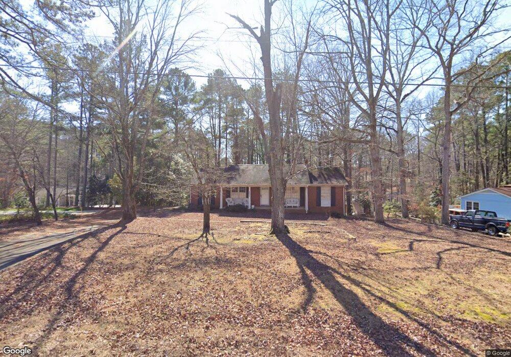
2401 Radius Cir Sanford, NC 27330
Estimated Value: $281,000 - $298,000
3
Beds
2
Baths
1,540
Sq Ft
$186/Sq Ft
Est. Value
About This Home
This home is located at 2401 Radius Cir, Sanford, NC 27330 and is currently estimated at $285,891, approximately $185 per square foot. 2401 Radius Cir is a home located in Lee County with nearby schools including J.R. Ingram Jr. Elementary School, West Lee Middle School, and Lee County High School.
Ownership History
Date
Name
Owned For
Owner Type
Purchase Details
Closed on
May 12, 2003
Sold by
Parson George W
Bought by
Parson George W
Current Estimated Value
Create a Home Valuation Report for This Property
The Home Valuation Report is an in-depth analysis detailing your home's value as well as a comparison with similar homes in the area
Home Values in the Area
Average Home Value in this Area
Purchase History
| Date | Buyer | Sale Price | Title Company |
|---|---|---|---|
| Parson George W | -- | -- |
Source: Public Records
Tax History Compared to Growth
Tax History
| Year | Tax Paid | Tax Assessment Tax Assessment Total Assessment is a certain percentage of the fair market value that is determined by local assessors to be the total taxable value of land and additions on the property. | Land | Improvement |
|---|---|---|---|---|
| 2025 | $3,175 | $236,700 | $30,000 | $206,700 |
| 2024 | $3,155 | $236,700 | $30,000 | $206,700 |
| 2023 | $3,145 | $236,700 | $30,000 | $206,700 |
| 2022 | $2,120 | $133,300 | $27,500 | $105,800 |
| 2021 | $2,150 | $133,300 | $27,500 | $105,800 |
| 2020 | $2,143 | $133,300 | $27,500 | $105,800 |
| 2019 | $2,103 | $133,300 | $27,500 | $105,800 |
| 2018 | $0 | $131,800 | $23,100 | $108,700 |
| 2017 | $2,064 | $131,800 | $23,100 | $108,700 |
| 2016 | $2,039 | $131,800 | $23,100 | $108,700 |
| 2014 | $1,940 | $131,800 | $23,100 | $108,700 |
Source: Public Records
Map
Nearby Homes
- 0 Mcleod Dr
- 2415 Overbrook Ln
- 200 Arlington Cir
- 3106 Hickory Hill Dr
- 0 Lot A Carbonton Rd
- 503 N Franklin Dr
- 2712 Pebblebrook Dr
- 2400 Carbonton Rd
- 3003 Carbonton Rd
- 0 Carbonton Rd Unit 100529193
- 0 Carbonton Rd Unit 749750
- 0 Carbonton Rd Unit 24371434
- 319 S Currie Dr
- 2018 Sutphin Rd
- 1701 Portico Cir
- 2313 Grassmere Ct
- 815 Park Ave
- 3022 Carrington Ln
- 2305 Weatherwood Ct
- 2313 Weatherwood Ct
- 2405 Radius Cir
- 412 Mcleod Dr
- 503 Mcleod Dr
- 2409 Radius Cir
- 0 Radius Cir Unit 408127
- 0 Radius Cir Unit 44
- 408 Mcleod Dr
- 308 Arlington Cir
- 2410 Radius Cir
- 507 Mcleod Dr
- 2324 Radius Cir
- 307 Mcleod Dr
- 2319 Radius Cir
- 2422 Overbrook Ln
- 403 Arlington Cir
- 406 Arlington Cir
- 2418 Overbrook Ln
- 511 Mcleod Dr
- 2501 Castleton Dr
- 302 Arlington Cir