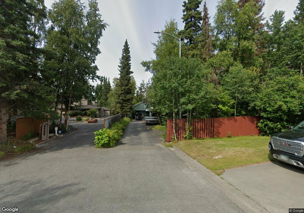
2401 Resolution Dr Anchorage, AK 99517
Turnagain NeighborhoodEstimated Value: $528,000 - $1,255,165
5
Beds
5
Baths
6,161
Sq Ft
$145/Sq Ft
Est. Value
About This Home
This home is located at 2401 Resolution Dr, Anchorage, AK 99517 and is currently estimated at $891,583, approximately $144 per square foot. 2401 Resolution Dr is a home located in Anchorage Municipality with nearby schools including Turnagain Elementary School, Romig Middle School, and West High School.
Ownership History
Date
Name
Owned For
Owner Type
Purchase Details
Closed on
May 10, 2017
Sold by
Peak Trust Company Ak
Bought by
Northwest Trustee & Management Services and Dennis Paul Hutchinson Jr Trust
Current Estimated Value
Purchase Details
Closed on
Jun 19, 2012
Sold by
Wells Fargo Bank Na
Bought by
Alaska Usa Trust Company and Dennis Paul Hutchinson Jr Trust
Purchase Details
Closed on
Oct 11, 2000
Sold by
First Interstate Bank Of Alaska Na
Bought by
Wells Fargo Bank Na and Dennis Paul Hutchinson Jr Trust
Create a Home Valuation Report for This Property
The Home Valuation Report is an in-depth analysis detailing your home's value as well as a comparison with similar homes in the area
Home Values in the Area
Average Home Value in this Area
Purchase History
| Date | Buyer | Sale Price | Title Company |
|---|---|---|---|
| Northwest Trustee & Management Services | -- | None Available | |
| Alaska Usa Trust Company | -- | None Available | |
| Wells Fargo Bank Na | -- | -- |
Source: Public Records
Tax History
| Year | Tax Paid | Tax Assessment Tax Assessment Total Assessment is a certain percentage of the fair market value that is determined by local assessors to be the total taxable value of land and additions on the property. | Land | Improvement |
|---|---|---|---|---|
| 2025 | $20,173 | $840,000 | $355,000 | $485,000 |
| 2024 | $20,173 | $1,324,500 | $346,700 | $977,800 |
| 2023 | $19,854 | $1,240,800 | $346,700 | $894,100 |
| 2022 | $19,614 | $1,214,700 | $346,600 | $868,100 |
| 2021 | $20,000 | $1,109,900 | $346,600 | $763,300 |
| 2020 | $17,908 | $1,103,700 | $346,600 | $757,100 |
| 2019 | $17,183 | $1,100,300 | $346,600 | $753,700 |
| 2018 | $14,935 | $960,700 | $346,600 | $614,100 |
| 2017 | $14,982 | $976,700 | $326,200 | $650,500 |
| 2016 | $20,559 | $980,100 | $326,200 | $653,900 |
| 2015 | $20,559 | $942,000 | $326,200 | $615,800 |
| 2014 | $20,559 | $947,800 | $302,100 | $645,700 |
Source: Public Records
Map
Nearby Homes
- 2543 La Honda Dr Unit 7
- 2335 Lord Baranof Dr
- 2540 Lord Baranof Dr
- 2140 Atwood Dr
- 2064 Belair Dr
- Tr A W Northern Lights Blvd
- 2201 Belmont Dr
- 2906 W 29th Ave
- 2921 W 29th Ave Unit 5B
- 1936 Wildwood Ln
- 2607 W 33rd Ave
- 2502 W 34th Ave
- 2401 W Marston Dr
- 2511 Abbey Ln
- 1435 W 25th Ave
- 3517 Vintage Cir
- 2201 Romig Place Unit 105
- 1854 Buccaneer Place Unit 1854
- 1327 W 25th Ave Unit 218
- 1508 W 31st Ave
- 2400 Resolution Dr
- L57A B3 Resolution Point
- 2457 Resolution Dr
- 2456 Resolution Dr
- 10141 Resolution Dr
- 2431 Loussac Dr
- 2437 Loussac Dr
- 2503 Resolution Dr
- 2504 Resolution Dr
- 2415 Loussac Dr
- 2407 Loussac Dr
- 2515 Resolution Dr
- 000 Lahonda
- 2520 Resolution Dr
- 2403 La Honda Dr Unit 3A
- 2411 La Honda Dr Unit 2B
- 2409 La Honda Dr Unit 2A
- 2401 La Honda Dr Unit 3C
- 2405 La Honda Dr Unit 3B
- 2407 La Honda Dr Unit 2C
Your Personal Tour Guide
Ask me questions while you tour the home.
