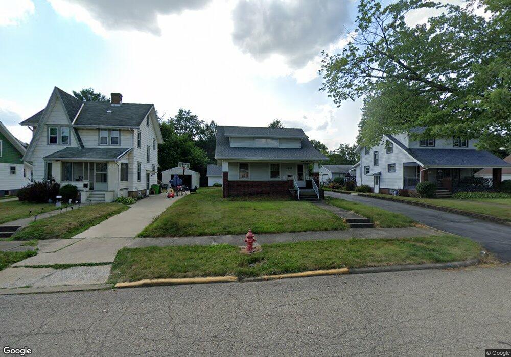
2401 Shunk Ave Alliance, OH 44601
Estimated Value: $142,829 - $188,000
3
Beds
2
Baths
1,416
Sq Ft
$115/Sq Ft
Est. Value
About This Home
This home is located at 2401 Shunk Ave, Alliance, OH 44601 and is currently estimated at $162,207, approximately $114 per square foot. 2401 Shunk Ave is a home located in Stark County with nearby schools including Alliance Elementary School at Rockhill, Alliance Intermediate School at Northside, and Alliance Middle School.
Ownership History
Date
Name
Owned For
Owner Type
Purchase Details
Closed on
Jan 21, 2022
Sold by
Mattison Stephen F and Emily J Mattison Trust
Bought by
Mattison Stephen F
Current Estimated Value
Purchase Details
Closed on
Jul 30, 2015
Sold by
Swain Emily J and Mattison Emily J
Bought by
Mattison Emily J and Mattison Stephen F
Purchase Details
Closed on
Oct 15, 2010
Sold by
Buhn Catherine and Buhn Walter R
Bought by
Swain Emily J
Home Financials for this Owner
Home Financials are based on the most recent Mortgage that was taken out on this home.
Original Mortgage
$83,870
Interest Rate
4.26%
Mortgage Type
FHA
Create a Home Valuation Report for This Property
The Home Valuation Report is an in-depth analysis detailing your home's value as well as a comparison with similar homes in the area
Home Values in the Area
Average Home Value in this Area
Purchase History
| Date | Buyer | Sale Price | Title Company |
|---|---|---|---|
| Mattison Stephen F | -- | None Listed On Document | |
| Mattison Emily J | -- | Attorney | |
| Swain Emily J | $85,000 | Attorney |
Source: Public Records
Mortgage History
| Date | Status | Borrower | Loan Amount |
|---|---|---|---|
| Previous Owner | Swain Emily J | $83,870 |
Source: Public Records
Tax History
| Year | Tax Paid | Tax Assessment Tax Assessment Total Assessment is a certain percentage of the fair market value that is determined by local assessors to be the total taxable value of land and additions on the property. | Land | Improvement |
|---|---|---|---|---|
| 2025 | -- | $36,720 | $9,870 | $26,850 |
| 2024 | -- | $36,720 | $9,870 | $26,850 |
| 2023 | $1,107 | $27,550 | $7,670 | $19,880 |
| 2022 | $1,114 | $27,550 | $7,670 | $19,880 |
| 2021 | $1,116 | $27,550 | $7,670 | $19,880 |
| 2020 | $1,049 | $24,190 | $6,650 | $17,540 |
| 2019 | $1,034 | $24,190 | $6,650 | $17,540 |
Source: Public Records
Map
Nearby Homes
- 2625 Belleflower Dr
- 2705 Shunk Ave
- 2372 S Union Ave
- 2406 S Union Ave
- 2405 Cherry Ave
- 152 E Mill St
- 856 Birchwood Dr
- 2943 S Union Ave
- 864 W College Rd
- 2041 Watson Ave
- 1016 Roseland Rd
- 3116 Ridgehill Ave
- 720 Vincent Blvd
- 1539 Parkway Blvd
- 2408 S Linden Ave
- 1615 Fairview Place
- 2630 Blenheim Ave
- 555 E Milton St
- 233 Shadyside Ct
- 2635 Blenheim Ave
- 2411 Shunk Ave
- 2383 Shunk Ave
- 2421 Shunk Ave
- 2365 Shunk Ave
- 2427 Shunk Ave
- 2402 Belleflower Dr
- 2437 Shunk Ave
- 2357 Shunk Ave
- 2444 Belleflower Dr
- 2400 Shunk Ave
- 2380 Shunk Ave
- 2362 Belleflower Dr
- 2370 Shunk Ave
- 2445 Shunk Ave
- 2349 Shunk Ave
- 2422 Shunk Ave
- 2450 Belleflower Dr
- 2343 Shunk Ave
- 2436 Shunk Ave
- 2455 Shunk Ave
Your Personal Tour Guide
Ask me questions while you tour the home.