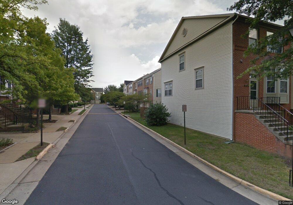
2401 Simpkins Farm Dr Herndon, VA 20171
Estimated Value: $595,144 - $632,000
3
Beds
3
Baths
1,486
Sq Ft
$409/Sq Ft
Est. Value
About This Home
This home is located at 2401 Simpkins Farm Dr, Herndon, VA 20171 and is currently estimated at $607,286, approximately $408 per square foot. 2401 Simpkins Farm Dr is a home located in Fairfax County with nearby schools including Mcnair Elementary School, McNair Upper Elementary School, and Rachel Carson Middle School.
Ownership History
Date
Name
Owned For
Owner Type
Purchase Details
Closed on
Mar 24, 1994
Sold by
Rocky Gorge At Mcnair
Bought by
Harmon Richard W
Current Estimated Value
Home Financials for this Owner
Home Financials are based on the most recent Mortgage that was taken out on this home.
Original Mortgage
$133,550
Interest Rate
7.15%
Create a Home Valuation Report for This Property
The Home Valuation Report is an in-depth analysis detailing your home's value as well as a comparison with similar homes in the area
Home Values in the Area
Average Home Value in this Area
Purchase History
| Date | Buyer | Sale Price | Title Company |
|---|---|---|---|
| Harmon Richard W | $166,953 | -- |
Source: Public Records
Mortgage History
| Date | Status | Borrower | Loan Amount |
|---|---|---|---|
| Closed | Harmon Richard W | $133,550 |
Source: Public Records
Tax History Compared to Growth
Tax History
| Year | Tax Paid | Tax Assessment Tax Assessment Total Assessment is a certain percentage of the fair market value that is determined by local assessors to be the total taxable value of land and additions on the property. | Land | Improvement |
|---|---|---|---|---|
| 2025 | $6,181 | $580,160 | $175,000 | $405,160 |
| 2024 | $6,181 | $533,550 | $165,000 | $368,550 |
| 2023 | $5,939 | $526,280 | $165,000 | $361,280 |
| 2022 | $5,626 | $491,980 | $140,000 | $351,980 |
| 2021 | $5,297 | $451,360 | $130,000 | $321,360 |
| 2020 | $5,196 | $439,000 | $130,000 | $309,000 |
| 2019 | $4,963 | $419,310 | $125,000 | $294,310 |
| 2018 | $4,749 | $412,950 | $120,000 | $292,950 |
| 2017 | $4,615 | $397,530 | $110,000 | $287,530 |
| 2016 | $4,541 | $391,950 | $110,000 | $281,950 |
| 2015 | $4,313 | $386,470 | $105,000 | $281,470 |
| 2014 | $4,244 | $381,170 | $105,000 | $276,170 |
Source: Public Records
Map
Nearby Homes
- 2447 Clover Field Cir
- 2466 Clover Field Cir
- 13123 Copper Brook Way
- 13083 Rose Petal Cir
- 13286 Coppermill Dr
- 13056 Marcey Creek Rd Unit 13056
- 13222 Stable Brook Way
- 13133 Park Crescent Cir
- 3499 Audubon Cove
- 3495 Audubon Cove
- 2410 Dakota Lakes Dr
- 12968 Wood Crescent Cir
- 13103 Anvil Place
- 12933 Centre Park Cir Unit 305
- 12958 Centre Park Cir Unit 120
- 12925 Centre Park Cir Unit 311
- 12925 Centre Park Cir Unit 304
- 12953 Centre Park Cir Unit 218
- 12957 Centre Park Cir Unit 110
- 12953 Centre Park Cir Unit 222
- 2403 Simpkins Farm Dr
- 2405 Simpkins Farm Dr
- 2407 Simpkins Farm Dr
- 2409 Simpkins Farm Dr
- 13119 Kidwell Field Rd
- 13126 Kidwell Field Rd
- 13124 Kidwell Field Rd
- 13122 Kidwell Field Rd
- 2411 Simpkins Farm Dr
- 13130 Kidwell Field Rd
- 13117 Kidwell Field Rd
- 13120 Kidwell Field Rd
- 13132 Kidwell Field Rd
- 2402 Simpkins Farm Dr
- 2404 Simpkins Farm Dr
- 13134 Kidwell Field Rd
- 13115 Kidwell Field Rd
- 13116 Kidwell Field Rd
- 13128 Plotner Farm Rd
- 13113 Kidwell Field Rd