24010 U S Route 377 Whitesboro, TX 76273
Estimated Value: $1,470,497
2
Beds
2
Baths
1,700
Sq Ft
$865/Sq Ft
Est. Value
About This Home
This home is located at 24010 U S Route 377, Whitesboro, TX 76273 and is currently estimated at $1,470,497, approximately $864 per square foot. 24010 U S Route 377 is a home located in Grayson County with nearby schools including J.W. Hayes Primary School, Whitesboro Intermediate School, and Whitesboro Middle School.
Ownership History
Date
Name
Owned For
Owner Type
Purchase Details
Closed on
Apr 3, 2017
Sold by
Liberty Bakers Life Insurance Company
Bought by
Reynold Gary L and Reynolds Tammy D
Current Estimated Value
Home Financials for this Owner
Home Financials are based on the most recent Mortgage that was taken out on this home.
Original Mortgage
$270,996
Outstanding Balance
$225,138
Interest Rate
4.15%
Mortgage Type
New Conventional
Estimated Equity
$1,245,359
Purchase Details
Closed on
Sep 7, 2010
Sold by
R B Land & Cattle Llc
Bought by
Liberty Bankers Life Insurance Company
Purchase Details
Closed on
Sep 27, 2005
Sold by
Ward William C
Bought by
R B Land & Cattle Llc
Home Financials for this Owner
Home Financials are based on the most recent Mortgage that was taken out on this home.
Original Mortgage
$225,000
Interest Rate
5.76%
Mortgage Type
Purchase Money Mortgage
Create a Home Valuation Report for This Property
The Home Valuation Report is an in-depth analysis detailing your home's value as well as a comparison with similar homes in the area
Home Values in the Area
Average Home Value in this Area
Purchase History
| Date | Buyer | Sale Price | Title Company |
|---|---|---|---|
| Reynold Gary L | $270,996 | None Available | |
| Liberty Bankers Life Insurance Company | $500,000 | None Available | |
| R B Land & Cattle Llc | -- | -- |
Source: Public Records
Mortgage History
| Date | Status | Borrower | Loan Amount |
|---|---|---|---|
| Open | Reynold Gary L | $270,996 | |
| Previous Owner | R B Land & Cattle Llc | $225,000 |
Source: Public Records
Tax History Compared to Growth
Tax History
| Year | Tax Paid | Tax Assessment Tax Assessment Total Assessment is a certain percentage of the fair market value that is determined by local assessors to be the total taxable value of land and additions on the property. | Land | Improvement |
|---|---|---|---|---|
| 2025 | $10,143 | $703,592 | $138,719 | $564,873 |
| 2024 | $10,143 | $641,027 | $0 | $0 |
| 2023 | $7,981 | $568,591 | $98,522 | $470,069 |
| 2022 | $5,440 | $342,210 | $5,608 | $336,602 |
| 2021 | $3,610 | $200,835 | $5,915 | $194,920 |
| 2020 | $2,884 | $155,746 | $6,532 | $149,214 |
| 2019 | $3,489 | $175,844 | $7,053 | $168,791 |
| 2018 | $2,497 | $123,225 | $7,109 | $116,116 |
| 2017 | $71 | $3,435 | $3,435 | $0 |
| 2016 | $71 | $3,435 | $3,435 | $0 |
| 2015 | $0 | $224,502 | $224,502 | $0 |
| 2014 | -- | $224,502 | $224,502 | $0 |
Source: Public Records
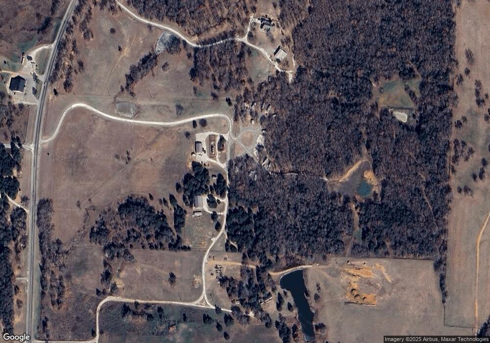
Map
Nearby Homes
- Lot 6 Reast Rd
- Lot 9 Reast Rd
- Lot 6 Reast Rd
- Lot 8 Reast Rd
- Lot 10 Reast Rd
- Lot 10 Reast Rd
- 7 Reast Rd
- 1872 Jewel Ln
- Lot 1 Sandusky Rd
- Lot 5 Sandusky Rd
- Lot 6 Sandusky Rd
- Lot 3 Sandusky Rd
- Lot 4 Sandusky Rd
- 3517 Sandusky Rd
- Lot 3 TBA Us Hwy 377
- 1510 Dixie Estates Way
- 3924 Sandusky Rd
- 3888 Sandusky Rd
- 527 Copperas Rd
- Tract 4 TBD Sandusky Rd
- 24010 U S 377
- 24310 Us Highway 377
- 23776 Us Highway 377
- 000 Hwy 377 N Hwy 377
- 23997 Us Highway 377
- 24059 Us Highway 377
- 23937 Us Highway 377
- 23833 Us Highway 377
- 25.464 Fm 377 Rd
- 23665 Us Highway 377
- 23612 Us Highway 377
- 23612 Us Highway 377
- 23665 U S 377
- 45 Knight Rd
- 169 Mayo Rd
- 201 Knight Rd
- 11 Mayo Rd
- 0 Reast Rd
- Lot 3 Reast Rd
- Lot 7 Reast Rd