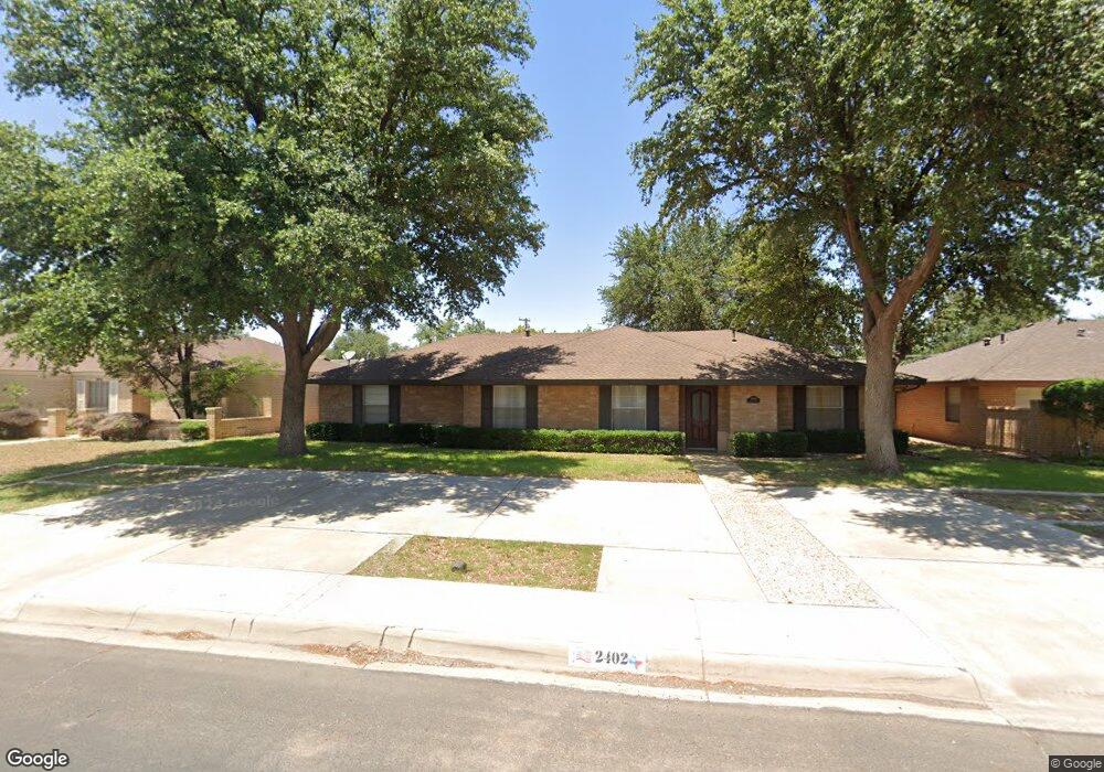
2402 Maxwell Dr Midland, TX 79705
Goddard Heights NeighborhoodEstimated Value: $312,000 - $359,000
3
Beds
3
Baths
2,140
Sq Ft
$157/Sq Ft
Est. Value
About This Home
This home is located at 2402 Maxwell Dr, Midland, TX 79705 and is currently estimated at $336,993, approximately $157 per square foot. 2402 Maxwell Dr is a home located in Midland County with nearby schools including Midland High School, Robert H. Goddard Junior High School, and The Hillander School.
Ownership History
Date
Name
Owned For
Owner Type
Purchase Details
Closed on
Jun 4, 2003
Sold by
Larcenaire Gary G
Bought by
Caza Raymond J
Current Estimated Value
Purchase Details
Closed on
Feb 16, 2001
Sold by
Morrison Billy Harold
Bought by
Caza Raymond J
Purchase Details
Closed on
Oct 31, 1994
Bought by
Caza Raymond J
Purchase Details
Closed on
Jul 1, 1990
Bought by
Caza Raymond J
Purchase Details
Closed on
Sep 1, 1988
Bought by
Caza Raymond J
Purchase Details
Closed on
Nov 20, 1974
Bought by
Caza Raymond J
Create a Home Valuation Report for This Property
The Home Valuation Report is an in-depth analysis detailing your home's value as well as a comparison with similar homes in the area
Home Values in the Area
Average Home Value in this Area
Purchase History
| Date | Buyer | Sale Price | Title Company |
|---|---|---|---|
| Caza Raymond J | -- | -- | |
| Caza Raymond J | -- | -- | |
| Caza Raymond J | -- | -- | |
| Caza Raymond J | -- | -- | |
| Caza Raymond J | -- | -- | |
| Caza Raymond J | -- | -- |
Source: Public Records
Tax History Compared to Growth
Tax History
| Year | Tax Paid | Tax Assessment Tax Assessment Total Assessment is a certain percentage of the fair market value that is determined by local assessors to be the total taxable value of land and additions on the property. | Land | Improvement |
|---|---|---|---|---|
| 2025 | $2,723 | $248,570 | $32,880 | $215,690 |
| 2024 | $2,728 | $252,630 | $32,880 | $219,750 |
| 2023 | $2,660 | $251,350 | $32,880 | $218,470 |
| 2022 | $4,104 | $262,670 | $32,880 | $229,790 |
| 2021 | $4,576 | $262,670 | $32,880 | $229,790 |
| 2020 | $3,852 | $256,810 | $32,880 | $223,930 |
| 2019 | $4,555 | $240,600 | $32,880 | $223,930 |
| 2018 | $4,253 | $218,730 | $32,880 | $185,850 |
| 2017 | $4,325 | $222,440 | $32,880 | $189,560 |
| 2016 | $4,458 | $228,860 | $32,880 | $195,980 |
| 2015 | -- | $250,730 | $32,880 | $218,210 |
| 2014 | -- | $227,940 | $32,880 | $195,060 |
Source: Public Records
Map
Nearby Homes
- 2409 Stutz Place
- 2406 Dartmouth Dr
- 2406 Stutz Place
- 2505 Maxwell Dr
- 2305 Auburn Place
- 19 Winchester Ct
- 5 Chatham Ct
- 2400 Metz Ct
- 63 Ironwood Ct Unit 91
- 63 Ironwood Ct
- 2605 Inwood Ct
- 2613 Haynes Dr
- 2806 Auburn Dr
- 2502 Goddard Dr
- 2400 W Dengar Ave
- 4 Amhurst Ct
- 2811 Durant Dr
- 2817 Maxwell Dr
- 2601 W Dengar Ave
- 2604 Emerson Dr
- 2400 Maxwell Dr
- 2404 Maxwell Dr
- 2403 Stutz Place
- 2314 Maxwell Dr
- 2406 Maxwell Dr
- 2401 Stutz Place
- 2403 Maxwell Dr
- 2405 Maxwell Dr
- 2405 Stutz Place
- 2401 Maxwell Dr
- 2312 Maxwell Dr
- 2313 Stutz Place
- 2408 Maxwell Dr
- 2407 Maxwell Dr
- 2313 Maxwell Dr
- 2407 Stutz Place
- 2310 Maxwell Dr
- 2409 Maxwell Dr
- 2310 Raleigh Point Dr
- 2400 Stutz Place