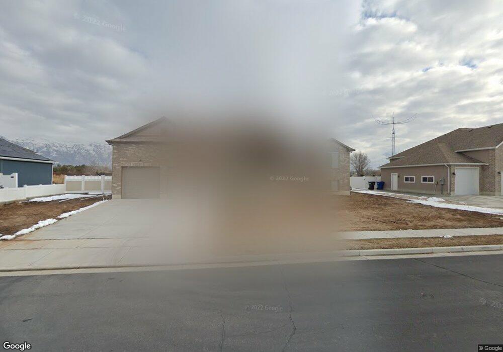
2402 N 2300 W Unit 22 Farr West, UT 84404
Estimated Value: $720,000 - $778,400
6
Beds
4
Baths
4,284
Sq Ft
$175/Sq Ft
Est. Value
About This Home
This home is located at 2402 N 2300 W Unit 22, Farr West, UT 84404 and is currently estimated at $749,600, approximately $174 per square foot. 2402 N 2300 W Unit 22 is a home located in Weber County with nearby schools including Farr West Elementary School, Wahlquist Junior High School, and Fremont High School.
Ownership History
Date
Name
Owned For
Owner Type
Purchase Details
Closed on
Jan 29, 2020
Sold by
Woolston Thomas L and Woolston Annette
Bought by
Woolston Thomas L and Woolston Annette
Current Estimated Value
Purchase Details
Closed on
Jun 18, 2018
Sold by
Nilson & Company Inc
Bought by
Woolston Tom and Woolston Annette
Purchase Details
Closed on
Jun 21, 2017
Sold by
Hales Estates Llc
Bought by
Nilson & Company Inc
Create a Home Valuation Report for This Property
The Home Valuation Report is an in-depth analysis detailing your home's value as well as a comparison with similar homes in the area
Home Values in the Area
Average Home Value in this Area
Purchase History
| Date | Buyer | Sale Price | Title Company |
|---|---|---|---|
| Woolston Thomas L | -- | None Available | |
| Woolston Tom | -- | Stewart Title Ins Agency | |
| Nilson & Company Inc | -- | Stewart Title Ins Agency Of |
Source: Public Records
Tax History Compared to Growth
Tax History
| Year | Tax Paid | Tax Assessment Tax Assessment Total Assessment is a certain percentage of the fair market value that is determined by local assessors to be the total taxable value of land and additions on the property. | Land | Improvement |
|---|---|---|---|---|
| 2025 | $4,087 | $713,174 | $200,613 | $512,561 |
| 2024 | $4,055 | $395,999 | $110,293 | $285,706 |
| 2023 | $3,820 | $369,050 | $110,098 | $258,952 |
| 2022 | $4,105 | $405,350 | $99,234 | $306,116 |
| 2021 | $3,456 | $576,000 | $105,312 | $470,688 |
| 2020 | $3,228 | $493,000 | $85,292 | $407,708 |
| 2019 | $3,077 | $444,000 | $85,259 | $358,741 |
| 2018 | $1,825 | $252,074 | $85,259 | $166,815 |
| 2017 | $0 | $0 | $0 | $0 |
Source: Public Records
Map
Nearby Homes
- 2540 W 2575 N
- 2172 N 2625 W
- 2124 Heritage Dr
- 2405 W 2825 N
- 2250 N 2000 W
- 2673 W 2125 N
- 2705 2825 W Unit 67
- 2442 W 2850 N
- 2938 N 2350 W Unit 105
- 2477 W 2900 N
- 2440 W 2900 N
- 2307 N 2850 W
- 2409 W 2950 N
- 2409 W 2950 N Unit 101
- 2427 W 2950 N Unit 100
- 2427 W 2950 N
- 2495 N 2850 W
- 2485 W 2950 N
- 2068 N 2850 W
- 2730 N 2775 W Unit 113
- 2416 N 2300 W
- 2384 N 2300 W Unit 23
- 2399 N 2300 W Unit 20
- 2379 N 2300 W
- 2315 W 2425 N
- 2370 N 2300 W
- 2288 W 2425 N
- 2312 W 2425 N Unit 17
- 2348 N 2300 W
- 2398 N 2350 W Unit 50
- 2357 N 2300 W
- 2414 N 2350 W Unit 16
- 2380 N 2350 W Unit 52
- 2330 W 2425 N
- 2330 W 2425 N Unit 15
- 2368 N 2350 W
- 2330 N 2300 W
- 2348 W 2425 N
- 2314 W 2325 N
- 2455 N 2250 W