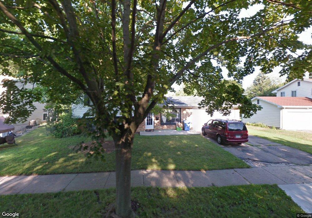
2403 Leon Ave Lansing, MI 48906
Northwestside NeighborhoodEstimated Value: $213,891 - $254,000
4
Beds
2
Baths
1,905
Sq Ft
$125/Sq Ft
Est. Value
About This Home
This home is located at 2403 Leon Ave, Lansing, MI 48906 and is currently estimated at $237,973, approximately $124 per square foot. 2403 Leon Ave is a home located in Ingham County with nearby schools including Cumberland Elementary School, Pattengill Academy, and J.W. Sexton High School.
Ownership History
Date
Name
Owned For
Owner Type
Purchase Details
Closed on
Sep 25, 2008
Sold by
Helm Lindiwe and Helm Robert
Bought by
Us Bank National Association
Current Estimated Value
Purchase Details
Closed on
Aug 31, 2005
Sold by
Belk Gayle
Bought by
Deutsche Bank National Trust Co and Morgan Stanley Abs Capital I Inc Trust
Purchase Details
Closed on
Jul 7, 2005
Sold by
Belk Gayle
Bought by
Deutsche Bank National Trust Co and Morgan Stanley Abs Capital I Inc Trust 2
Purchase Details
Closed on
Sep 1, 1992
Create a Home Valuation Report for This Property
The Home Valuation Report is an in-depth analysis detailing your home's value as well as a comparison with similar homes in the area
Home Values in the Area
Average Home Value in this Area
Purchase History
| Date | Buyer | Sale Price | Title Company |
|---|---|---|---|
| Us Bank National Association | $50,185 | None Available | |
| Deutsche Bank National Trust Co | -- | None Available | |
| Deutsche Bank National Trust Co | $126,225 | -- | |
| -- | $73,500 | -- |
Source: Public Records
Tax History
| Year | Tax Paid | Tax Assessment Tax Assessment Total Assessment is a certain percentage of the fair market value that is determined by local assessors to be the total taxable value of land and additions on the property. | Land | Improvement |
|---|---|---|---|---|
| 2025 | $3,924 | $91,100 | $12,700 | $78,400 |
| 2024 | $31 | $101,100 | $12,700 | $88,400 |
| 2023 | $3,678 | $88,900 | $12,700 | $76,200 |
| 2022 | $3,313 | $78,500 | $10,400 | $68,100 |
| 2021 | $3,244 | $73,200 | $10,700 | $62,500 |
| 2020 | $3,224 | $68,600 | $10,700 | $57,900 |
| 2019 | $3,092 | $64,300 | $10,700 | $53,600 |
| 2018 | $2,896 | $57,500 | $10,700 | $46,800 |
| 2017 | $2,773 | $57,500 | $10,700 | $46,800 |
| 2016 | $2,652 | $50,800 | $10,700 | $40,100 |
| 2015 | $2,652 | $48,300 | $21,329 | $26,971 |
| 2014 | $2,652 | $47,500 | $24,884 | $22,616 |
Source: Public Records
Map
Nearby Homes
- 2302 Northwest Ave
- 3116 Colchester Rd
- 2800 Tecumseh River Rd
- 2413 Beacon Hill Dr
- 2300 Byrnes Rd
- 2111 Northwest Ave
- 2206 Kuerbitz Dr
- 1920 Byrnes Rd
- 4005 N Grand River Ave
- 2601 Newport Dr
- 4221 N Grand River Ave
- 3601 N Grand River Ave
- 3500 Colchester Rd
- 2111 Delta River Dr
- 2617 Edgebrook Dr
- 3230 Sheffer Ave
- 3304 Sheffer Ave
- 3733 Colchester Rd
- 1805 Boynton Dr
- 3021 N Grand River Ave
Your Personal Tour Guide
Ask me questions while you tour the home.