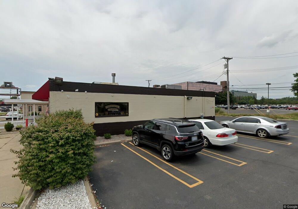
24030 W 10 Mile Rd Southfield, MI 48033
Estimated Value: $171,118
--
Bed
--
Bath
1,200
Sq Ft
$143/Sq Ft
Est. Value
About This Home
This home is located at 24030 W 10 Mile Rd, Southfield, MI 48033 and is currently estimated at $171,118, approximately $142 per square foot. 24030 W 10 Mile Rd is a home located in Oakland County with nearby schools including Morris Adler Elementary School, Glenn W. Levey Middle School, and Bradford Academy.
Ownership History
Date
Name
Owned For
Owner Type
Purchase Details
Closed on
Aug 16, 2021
Sold by
Bmk Inc and Bmk 808 Inc
Bought by
Ashaka Investment Properties Llc
Current Estimated Value
Purchase Details
Closed on
Sep 16, 2004
Sold by
Brown Timothy E and Brown Marie A
Bought by
Bmk Inc
Purchase Details
Closed on
Oct 31, 2001
Sold by
Jennica Incorporated
Bought by
Brown Timothy E
Create a Home Valuation Report for This Property
The Home Valuation Report is an in-depth analysis detailing your home's value as well as a comparison with similar homes in the area
Home Values in the Area
Average Home Value in this Area
Purchase History
| Date | Buyer | Sale Price | Title Company |
|---|---|---|---|
| Ashaka Investment Properties Llc | $160,000 | Ata National Title | |
| Ashaka Investment Properties Llc | -- | None Available | |
| Bmk Inc | $260,000 | Cislo Title Company | |
| Brown Timothy E | $245,000 | -- |
Source: Public Records
Mortgage History
| Date | Status | Borrower | Loan Amount |
|---|---|---|---|
| Closed | Ashaka Investment Properties Llc | $0 |
Source: Public Records
Tax History Compared to Growth
Tax History
| Year | Tax Paid | Tax Assessment Tax Assessment Total Assessment is a certain percentage of the fair market value that is determined by local assessors to be the total taxable value of land and additions on the property. | Land | Improvement |
|---|---|---|---|---|
| 2022 | $5,279 | $80,470 | $41,680 | $38,790 |
| 2021 | $5,010 | $78,740 | $41,680 | $37,060 |
| 2020 | $3,977 | $74,600 | $25,200 | $49,400 |
| 2018 | $4,468 | $68,530 | $44,880 | $23,650 |
| 2015 | -- | $69,470 | $0 | $0 |
| 2014 | -- | $69,970 | $0 | $0 |
| 2011 | -- | $105,140 | $0 | $0 |
Source: Public Records
Map
Nearby Homes
- 25611 Mulroy Dr
- 24877 Auburn Ln
- 23565 Oliver Ct
- 24714 Pembrooke Dr
- 23409 Ranch Hill Dr W
- 24220 Sunnypoint Dr
- 0000 Mcallister
- 25045 Glenbrooke Dr
- 25073 Oakbrooke Dr
- TBD W 10 Mile Rd
- 25226 Ingleside Dr
- 25215 Orchard Grove St
- 25255 Orchard Grove St
- 24840 Thorndyke St
- 25560 W 10 Mile Rd
- 24390 Green Valley St
- 23463 Berg Rd
- 25275 Briarbank Ave
- 25030 Thorndyke St
- 25150 Briarbank Ave
- 24060 W 10 Mile Rd
- 24060 W 10 Mile Rd
- 24070 W 10 Mile Rd
- 24959 Berg Rd
- 23999 W 10 Mile Rd Unit 120
- 23999 W 10 Mile Rd Unit 100
- 23999 W 10 Mile Rd Unit 160
- 23999 W 10 Mile Rd Unit 220
- 23999 W 10 Mile Rd Unit 150
- 23999 W 10 Mile Rd Unit 130
- 23999 W 10 Mile Rd Unit 140
- 23999 W 10 Mile Rd Unit 120
- 23999 W 10 Mile Rd Unit 210
- 23999 W 10 Mile Rd
- 23999 W 10 Mile Rd
- 23999 W Ten Mile Rd S
- 23800 W 10 Mile Rd
- 23857 Hazen St
- 23839 Hazen St
- 23821 Hazen St