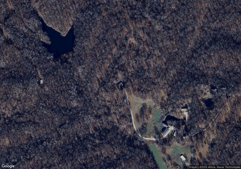
24033 Humbert Ln Laurel, IN 47024
Estimated Value: $237,000 - $290,000
3
Beds
2
Baths
1,624
Sq Ft
$159/Sq Ft
Est. Value
About This Home
This home is located at 24033 Humbert Ln, Laurel, IN 47024 and is currently estimated at $258,255, approximately $159 per square foot. 24033 Humbert Ln is a home located in Franklin County with nearby schools including Franklin County High School.
Ownership History
Date
Name
Owned For
Owner Type
Purchase Details
Closed on
Feb 24, 2021
Sold by
Todd John C
Bought by
Humbert Dyllion K
Current Estimated Value
Home Financials for this Owner
Home Financials are based on the most recent Mortgage that was taken out on this home.
Interest Rate
2.81%
Purchase Details
Closed on
Jun 1, 2012
Sold by
Federal National Mortgage Asso
Bought by
John C Todd
Create a Home Valuation Report for This Property
The Home Valuation Report is an in-depth analysis detailing your home's value as well as a comparison with similar homes in the area
Home Values in the Area
Average Home Value in this Area
Purchase History
| Date | Buyer | Sale Price | Title Company |
|---|---|---|---|
| Humbert Dyllion K | $98,000 | -- | |
| John C Todd | $57,800 | Meridian Title Corporation |
Source: Public Records
Mortgage History
| Date | Status | Borrower | Loan Amount |
|---|---|---|---|
| Closed | Humbert Dyllion K | -- |
Source: Public Records
Tax History Compared to Growth
Tax History
| Year | Tax Paid | Tax Assessment Tax Assessment Total Assessment is a certain percentage of the fair market value that is determined by local assessors to be the total taxable value of land and additions on the property. | Land | Improvement |
|---|---|---|---|---|
| 2024 | $793 | $124,700 | $21,800 | $102,900 |
| 2023 | $750 | $120,700 | $20,600 | $100,100 |
| 2022 | $778 | $114,300 | $20,300 | $94,000 |
| 2021 | $612 | $101,700 | $18,900 | $82,800 |
| 2020 | $543 | $98,900 | $18,400 | $80,500 |
| 2019 | $536 | $99,500 | $18,600 | $80,900 |
| 2018 | $629 | $106,200 | $27,500 | $78,700 |
| 2017 | $513 | $96,800 | $27,500 | $69,300 |
| 2016 | $499 | $96,700 | $27,500 | $69,200 |
| 2014 | $507 | $96,700 | $27,500 | $69,200 |
| 2013 | $507 | $97,500 | $27,500 | $70,000 |
Source: Public Records
Map
Nearby Homes
- 0 Frazer Rd
- 0 Stipps Hill Rd
- 0 Stipps Hill Rd Unit LotWP001 24911803
- 1 Us-52
- 2 Us-52
- 3 Us-52
- 0 Red Oak Ln
- 0 Red Oak Ln Unit LotWP001 23615956
- 25012 Old Us Highway 52
- 0 Old Us 52 Rd Unit 202518802
- 0 Old Us 52 Rd Unit LotWP001 23615955
- 9208 Davison Rd
- 21088 Us Highway 52
- 21088 U S 52
- 25228 Vanatta Hollow Rd
- 24115 Sanes Creek Rd
- 25228 Vanetta Rd
- 131 Charles St
- 182 Cass St
- 23041 U S 52
- 24033 Humbert Ln
- 24007 Humbert Ln
- 11076 W Roberts Rd
- 11084 W Roberts Rd
- 11084 W Roberts Rd
- 23234 Us Highway 52
- 23192 Us Highway 52
- 23208 Us Highway 52
- 24040 Us Highway 52
- 23176 Us Highway 52
- 23176 Us Highway 52
- 23191 Us Highway 52
- 23191 Us Highway 52
- 24008 Us Highway 52
- 23162 Us Highway 52
- 23163 Us Highway 52
- 23159 Us Highway 52
- 11147 Fields Rd
- 23021 Us Highway 52
- 23225 Us Highway 52