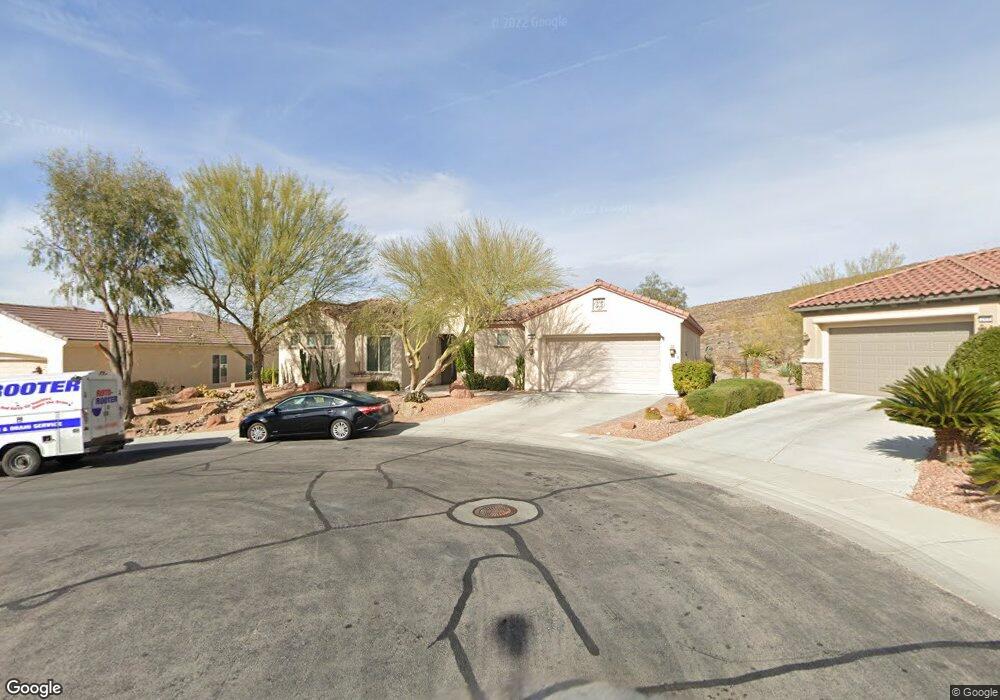
2404 Bensley St Henderson, NV 89044
Sun City Anthem NeighborhoodEstimated Value: $736,000 - $920,000
3
Beds
4
Baths
3,022
Sq Ft
$287/Sq Ft
Est. Value
About This Home
This home is located at 2404 Bensley St, Henderson, NV 89044 and is currently estimated at $866,549, approximately $286 per square foot. 2404 Bensley St is a home located in Clark County with nearby schools including Shirley & Bill Wallin Elementary School, Del E. Webb Middle School, and Liberty High School.
Ownership History
Date
Name
Owned For
Owner Type
Purchase Details
Closed on
Apr 7, 2006
Sold by
Del Webb Communities Inc
Bought by
Smith Bruce M and Kershnar Ann K
Current Estimated Value
Home Financials for this Owner
Home Financials are based on the most recent Mortgage that was taken out on this home.
Original Mortgage
$300,000
Outstanding Balance
$170,803
Interest Rate
6.2%
Mortgage Type
Fannie Mae Freddie Mac
Estimated Equity
$695,746
Create a Home Valuation Report for This Property
The Home Valuation Report is an in-depth analysis detailing your home's value as well as a comparison with similar homes in the area
Home Values in the Area
Average Home Value in this Area
Purchase History
| Date | Buyer | Sale Price | Title Company |
|---|---|---|---|
| Smith Bruce M | $610,023 | Lawyers Title Of Nevada |
Source: Public Records
Mortgage History
| Date | Status | Borrower | Loan Amount |
|---|---|---|---|
| Open | Smith Bruce M | $300,000 |
Source: Public Records
Tax History Compared to Growth
Tax History
| Year | Tax Paid | Tax Assessment Tax Assessment Total Assessment is a certain percentage of the fair market value that is determined by local assessors to be the total taxable value of land and additions on the property. | Land | Improvement |
|---|---|---|---|---|
| 2025 | $5,694 | $246,494 | $74,725 | $171,769 |
| 2024 | $5,528 | $246,494 | $74,725 | $171,769 |
| 2023 | $5,528 | $231,840 | $70,175 | $161,665 |
| 2022 | $5,367 | $207,529 | $59,710 | $147,819 |
| 2021 | $5,211 | $192,871 | $52,885 | $139,986 |
| 2020 | $5,056 | $190,793 | $52,430 | $138,363 |
| 2019 | $4,909 | $185,992 | $49,700 | $136,292 |
| 2018 | $4,766 | $178,600 | $47,425 | $131,175 |
| 2017 | $5,156 | $176,916 | $45,150 | $131,766 |
| 2016 | $4,512 | $170,093 | $36,575 | $133,518 |
| 2015 | $4,501 | $158,693 | $27,475 | $131,218 |
| 2014 | $4,370 | $131,252 | $22,925 | $108,327 |
Source: Public Records
Map
Nearby Homes
- 2091 Gunnison Place
- 2324 Orangeburg Place
- 2404 Anderson Park Dr
- 2188 Bannerwood St
- 2198 Bensley St
- 2312 Perrysburg Dr
- 2348 Kalkaska Dr
- 2317 Perrysburg Dr
- 2142 Sandstone Cliffs Dr
- 2148 Silent Echoes Dr
- 2131 Sandstone Cliffs Dr
- 2163 Bannerwood St Unit 30
- 2159 Bensley St
- 2151 Bannerwood St
- 2151 Shadow Canyon Dr
- 2148 Shadow Canyon Dr
- 2321 Whites Ferry Ct
- 2175 Sandstone Cliffs Dr
- 2313 Janesville Ln
- 2240 Cordaville Dr
- 2396 Bensley St
- 2408 Bensley St
- 2392 Bensley St
- 2095 Gunnison Place
- 2403 Bensley St
- 2399 Bensley St
- 2395 Bensley St
- 2090 Gunnison Place
- 2384 Bensley St
- 2391 Bensley St
- 2099 Gunnison Place
- 2380 Bensley St
- 2387 Bensley St
- 2062 Pepperell Ave
- 2094 Gunnison Place
- 2066 Pepperell Ave
- 2383 Bensley St
- 2103 Gunnison Place
- 2098 Gunnison Place
- 2070 Pepperell Ave