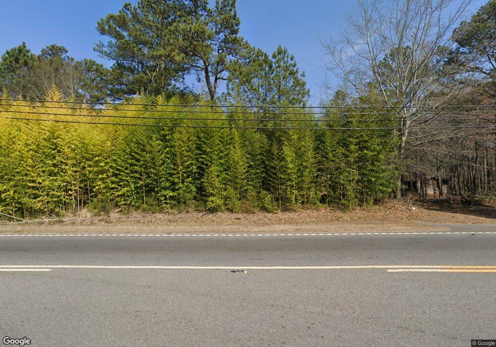
2404 Canton Hwy Cumming, GA 30040
Estimated Value: $435,000 - $1,158,000
3
Beds
1
Bath
1,548
Sq Ft
$427/Sq Ft
Est. Value
About This Home
This home is located at 2404 Canton Hwy, Cumming, GA 30040 and is currently estimated at $661,058, approximately $427 per square foot. 2404 Canton Hwy is a home located in Forsyth County with nearby schools including Poole's Mill Elementary School, Liberty Middle School, and West Forsyth High School.
Ownership History
Date
Name
Owned For
Owner Type
Purchase Details
Closed on
Jun 12, 2020
Sold by
Rollins Real & Chattel Holdings Llc
Bought by
Hyde Robert Clyde and Hyde James Richard
Current Estimated Value
Purchase Details
Closed on
May 6, 2019
Sold by
Rollins Carole J Estate
Bought by
Rollins George Phillip
Purchase Details
Closed on
Feb 28, 2019
Sold by
Sosebee Paula
Bought by
Sosebee Paula G and Paula G Sosebee Revocable Trust
Purchase Details
Closed on
Oct 9, 2015
Sold by
Hyde Virginia Revocable Trust
Bought by
Hyde Real & Chattel Ventures Llc
Create a Home Valuation Report for This Property
The Home Valuation Report is an in-depth analysis detailing your home's value as well as a comparison with similar homes in the area
Home Values in the Area
Average Home Value in this Area
Purchase History
| Date | Buyer | Sale Price | Title Company |
|---|---|---|---|
| Hyde Robert Clyde | -- | -- | |
| Rollins George Phillip | -- | -- | |
| Sosebee Paula G | -- | -- | |
| Hyde Real & Chattel Ventures Llc | -- | -- |
Source: Public Records
Tax History Compared to Growth
Tax History
| Year | Tax Paid | Tax Assessment Tax Assessment Total Assessment is a certain percentage of the fair market value that is determined by local assessors to be the total taxable value of land and additions on the property. | Land | Improvement |
|---|---|---|---|---|
| 2025 | $3,243 | $230,324 | $229,924 | $400 |
| 2024 | $3,243 | $132,268 | $131,868 | $400 |
| 2023 | $3,504 | $142,372 | $142,012 | $360 |
| 2022 | $3,518 | $93,640 | $93,360 | $280 |
| 2021 | $2,586 | $93,640 | $93,360 | $280 |
| 2020 | $431 | $93,600 | $93,360 | $240 |
| 2019 | $2,220 | $80,264 | $80,024 | $240 |
| 2018 | $1,626 | $58,804 | $58,684 | $120 |
| 2017 | $1,450 | $52,248 | $52,128 | $120 |
| 2016 | $1,167 | $42,036 | $41,916 | $120 |
| 2015 | $1,169 | $42,036 | $41,916 | $120 |
| 2014 | $1,566 | $59,144 | $0 | $0 |
Source: Public Records
Map
Nearby Homes
- 0 Bethelview Rd Unit 10600103
- 0 Bethelview Rd Unit 7645827
- 0 Bethelview Rd Unit 7598310
- 0 Bethelview Rd Unit 7130265
- 0 Bethelview Rd Unit 10102046
- 2840 Bryant Ct
- 3735 Westhaven Dr
- 3705 Westhaven Dr
- 3735 Hazel Ave
- 2850 Willow Bend Dr
- 4440 Aaronmoor Ln
- 3340 Chamblee Gap Rd
- 2610 Misty Hollow Ln
- 2810 Brookfield Cir
- 3305 Cove Creek Ln
- 3330 Carswell Bend
- 4015 Fouts Dr
- 3970 Fouts Dr
- 2795 Roper Rd
- 3220 Carswell Bend
- 2393 Canton Hwy
- 2850 Parnell Springs Ct
- 2845 Parnell Springs Ct
- 2494 Canton Hwy
- 2489 Canton Hwy
- 2840 Parnell Springs Ct
- 2522 Business Dr
- 2835 Parnell Springs Ct
- 2830 Parnell Springs Ct
- 1238 Bethelview Rd
- 1 Bethelview Rd
- 0 Bethelview Rd
- 0 Bethelview Rd Unit 20164601
- 0 Bethelview Rd Unit 7270075
- 0 Bethelview Rd Unit 7268206
- 0 Bethelview Rd Unit 10197180
- 0 Bethelview Rd Unit 7027068
- 0 Bethelview Rd Unit 8377866
- 0 Bethelview Rd Unit 7294956
- 0 Bethelview Rd Unit 8022466
