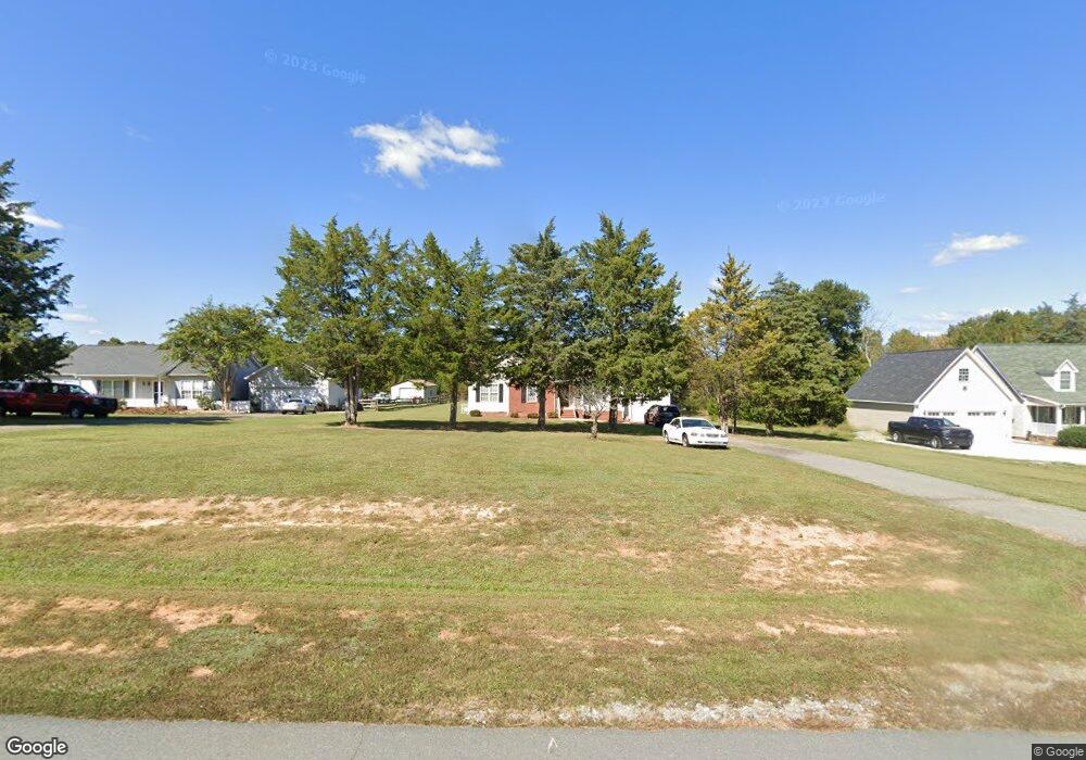
2404 Foxfire Ln Burlington, NC 27217
Estimated Value: $283,528 - $350,000
3
Beds
2
Baths
1,212
Sq Ft
$250/Sq Ft
Est. Value
About This Home
This home is located at 2404 Foxfire Ln, Burlington, NC 27217 and is currently estimated at $303,132, approximately $250 per square foot. 2404 Foxfire Ln is a home located in Alamance County with nearby schools including Pleasant Grove Elementary School, Woodlawn Middle School, and Eastern Alamance High School.
Ownership History
Date
Name
Owned For
Owner Type
Purchase Details
Closed on
Oct 26, 2006
Sold by
Marshburn Lesley D
Bought by
Rogers Isaac C
Current Estimated Value
Home Financials for this Owner
Home Financials are based on the most recent Mortgage that was taken out on this home.
Original Mortgage
$126,908
Outstanding Balance
$75,824
Interest Rate
6.39%
Mortgage Type
FHA
Estimated Equity
$227,308
Create a Home Valuation Report for This Property
The Home Valuation Report is an in-depth analysis detailing your home's value as well as a comparison with similar homes in the area
Home Values in the Area
Average Home Value in this Area
Purchase History
| Date | Buyer | Sale Price | Title Company |
|---|---|---|---|
| Rogers Isaac C | $128,000 | -- |
Source: Public Records
Mortgage History
| Date | Status | Borrower | Loan Amount |
|---|---|---|---|
| Open | Rogers Isaac C | $126,908 |
Source: Public Records
Tax History Compared to Growth
Tax History
| Year | Tax Paid | Tax Assessment Tax Assessment Total Assessment is a certain percentage of the fair market value that is determined by local assessors to be the total taxable value of land and additions on the property. | Land | Improvement |
|---|---|---|---|---|
| 2025 | $1,572 | $264,602 | $31,784 | $232,818 |
| 2024 | $1,461 | $264,602 | $31,784 | $232,818 |
| 2023 | $1,356 | $264,602 | $31,784 | $232,818 |
| 2022 | $1,042 | $136,009 | $30,270 | $105,739 |
| 2021 | $1,029 | $136,009 | $30,270 | $105,739 |
| 2020 | $1,042 | $136,009 | $30,270 | $105,739 |
| 2019 | $1,047 | $136,009 | $30,270 | $105,739 |
| 2018 | $0 | $136,009 | $30,270 | $105,739 |
| 2017 | $925 | $136,009 | $30,270 | $105,739 |
| 2016 | $1,005 | $147,749 | $30,270 | $117,479 |
| 2015 | $970 | $147,749 | $30,270 | $117,479 |
| 2014 | $897 | $147,749 | $30,270 | $117,479 |
Source: Public Records
Map
Nearby Homes
- 3345 Fleming Graham Rd
- 3295 Fleming Graham Rd
- 3263 Fleming Graham Rd
- 2634 William Allen Rd
- 2619 William Allen Rd
- 2513 William Allen Rd
- Lot 14 Crumpton Trail
- Lot 15 Crumpton Trail
- 2819 John Lewis Rd
- 3082 Cascade Dr
- 2848 John Lewis Rd
- 2830 Barnett Rd
- 2200 State Highway 49
- 219 Pillow Ln
- 134 Pillow Ln
- 4378 State Highway 49
- 0 Haith Fuller Trail
- 119 Gideon Place
- 191 Steamboat Ln
- 2417 Foxfire Ln
- 2311 Foxfire Ln
- 2385 Foxfire Ln
- 2305 Foxfire Ln
- 2326 Foxfire Ln
- 2316 Foxfire Ln
- 3116 Sundance Dr
- 2395 Foxfire Ln
- 2378 Foxfire Ln
- 2308 Foxfire Ln
- 2235 Foxfire Ln
- 2338 Foxfire Ln
- 3132 Sundance Dr
- 2388 Foxfire Ln
- 2238 Foxfire Ln
- 2407 Foxfire Ln
- 2225 Foxfire Ln
- 3119 Sundance Dr
- 2228 Foxfire Ln
- 3186 Sundance Dr